Good Tuesday, folks. It’s another warm early April day taking shape across Kentucky as our May feel continues. Once into the second half of the week, thunderstorm action looks to increase and there’s the opportunity for a few strong storms.
Temps today are deep into the 70s and may even flirt with 80 in the west. Winds will gust up from the southwest and that same wind will boost Wednesday temps into the 75-80 degree range for the entire state.
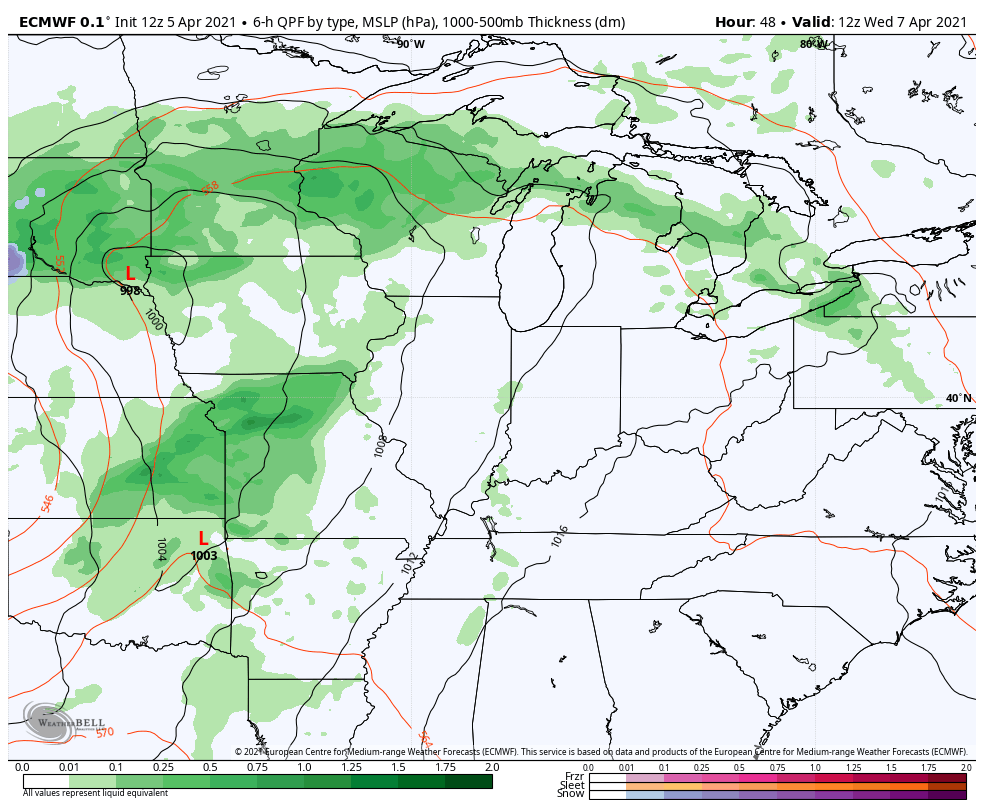
Low pressure wraps up across the northern Mississippi Valley on Wednesday and drags a front toward western Kentucky. Showers and thunderstorms will sweep into western Kentucky during this time and a few could be strong. The Storm Prediction Center has the west in a low-end severe risk…

Those storms will then roll across the rest of the state Wednesday night and Thursday morning. Temps will come down a bit behind this boundary, but should still be pretty pleasant. Those numbers then jump again to start the weekend as another low spins to our west and northwest. That’s when another chance for some storms rolls in…
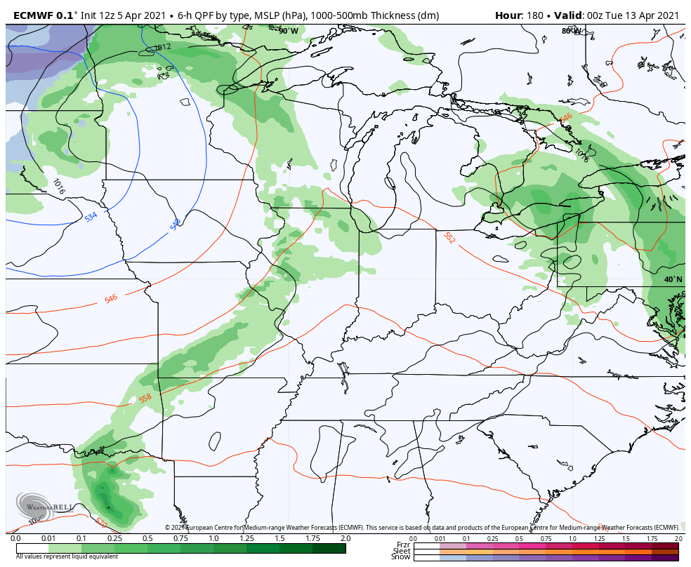
After this is when we start to see some serious diverging among the models. The EURO bring a chilly system right on top of us…
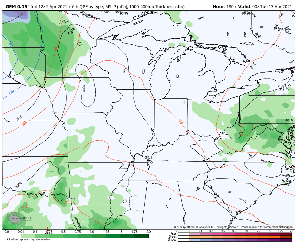
The Canadian Model says ‘not so fast’…
Regardless, it’s a pretty active setup with all kinds of upper lows spinning near our part of the world.
Make it a great Tuesday and take care.

I think we probably have a few more cold spells before warmth stays for good.
If May could only be this nice.