Good Thursday, everyone. A bowling ball looking low pressure is wrapping up to our northwest, bringing gusty winds and a few showers and storms into the region. This is the first of three such systems to impact the region through early next week as a chilly setup follows.
Our day starts with a line of showers and storms working from west to east across the state. This looks to be weakening along the way before we get in on a few spiraling bands of storms going up this afternoon. The Storm Prediction Center has a low-end risk area across much of central and eastern Kentucky…

Damaging wind is the primary threat to watch for.
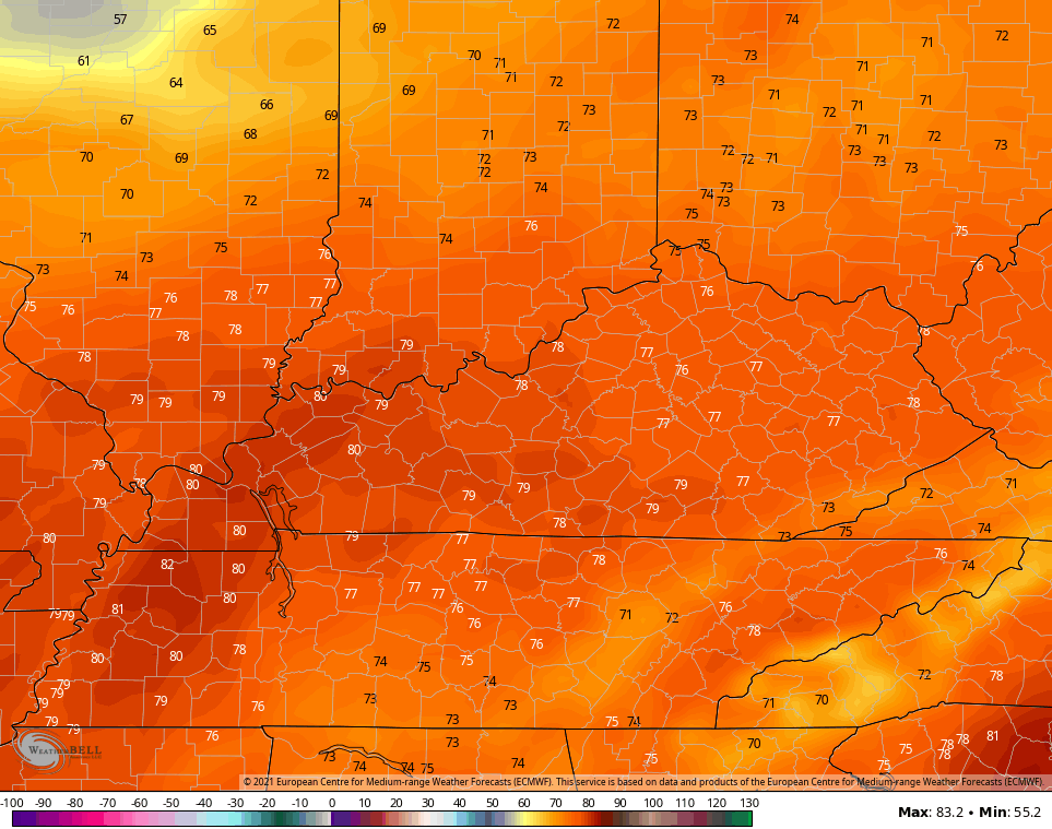
Lots of dry times will be noted out there today as temps range from the high 60s to middle 70s.
Friday looks like a windy and warm day with temps making a run at 80 again…
The next system wrapping up across the region arrives Saturday and brings a more widespread brand of showers and storms with it…
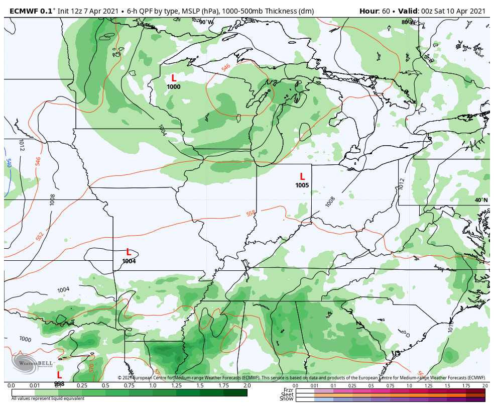
A few strong storms are possible as this system works through here. Here’s the Saturday Severe Weather Outlook from the Storm Prediction Center…

The next system then spins in here from the northwest early in the week and this looks to unleash much colder air for the middle and end of next week. Frosty conditions will likely show up later next week into the following weekend. This comes from a very active blocking pattern showing up across North America…
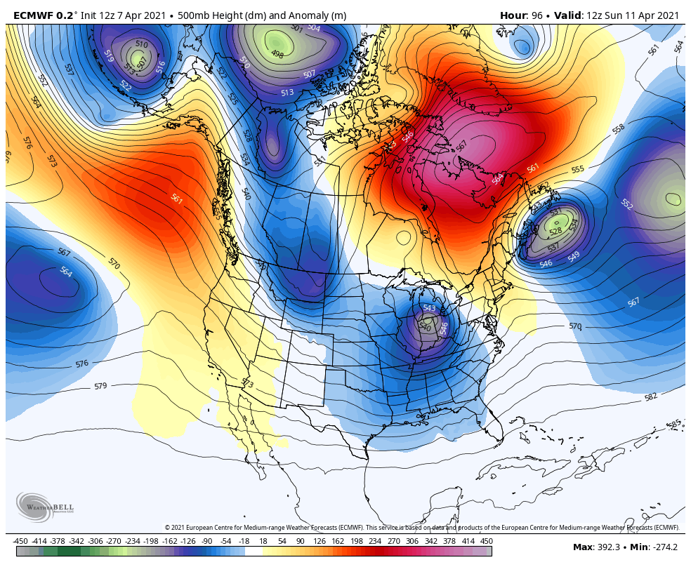
This is the mid-month blocky pattern I’ve been pointing toward since the last week of March and can make for some not so pleasant spring days.
Frosty conditions will likely show up later next week into the following weekend.
I leave you with your Thursday thunder tracking toys…

Have a terrific day and take care.

At least the cold shots don’t last too long now.
Back-to-back days with highs in the low 80s here in the Chicago Metro Area, as it hit 82 degrees Wednesday at O’Hare Airport, just two degrees short of the all-time record high for the date. Of course, it was windy, with winds gusting from the South near 40 MPH.
So far for the first seven days in April, we are averaging a ridiculous 11.6 degrees per day above normal (which includes the first two days of the month which were so chilly), but with only a trace of rain, so the dry conditions continue to prevail.
Looks like the other shoe will drop next week with the much below-normal pattern on the way.
Hit 80 degrees for the first time this Spring. Got all the ceiling fans running at the present.
I really don’t like the return to Winter even if it is for a short time.