Good Sunday, folks. We have a weird weather day taking shape as we split the state in half as low pressure spins through the Ohio Valley. This means some see ugly stuff while others see some really nice weather to round out the weekend.
Backwash clouds and showers drift in from the northwest through the day with the best rain chances coming across the northern half of the state. This is one where a few miles means all the difference between nasty and sunny.
Here are your radars to follow the spiraling band of showers into the region…

Temps today range from the upper 40s in the north to middle and upper 60s in the far south and west.
Monday is a windy and warmer day as temps spike into the low 70s ahead of a cold front. This may touch off some scattered showers and storms, but it will bring much cooler air into the region.
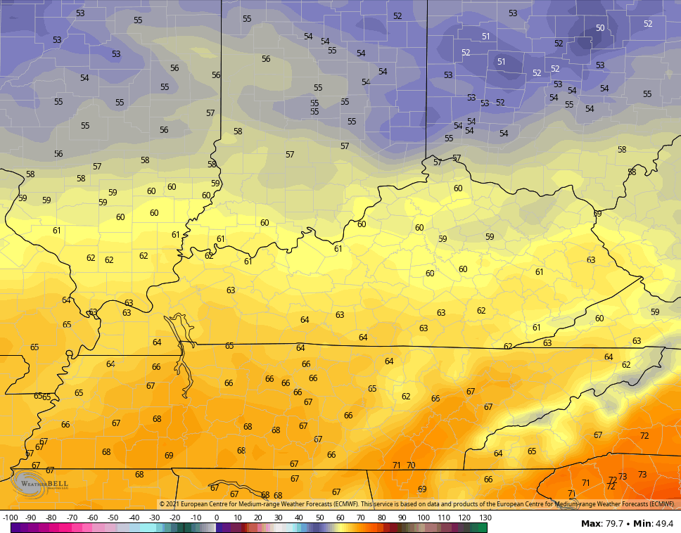
Highs by Tuesday struggle to get to 60 for some…
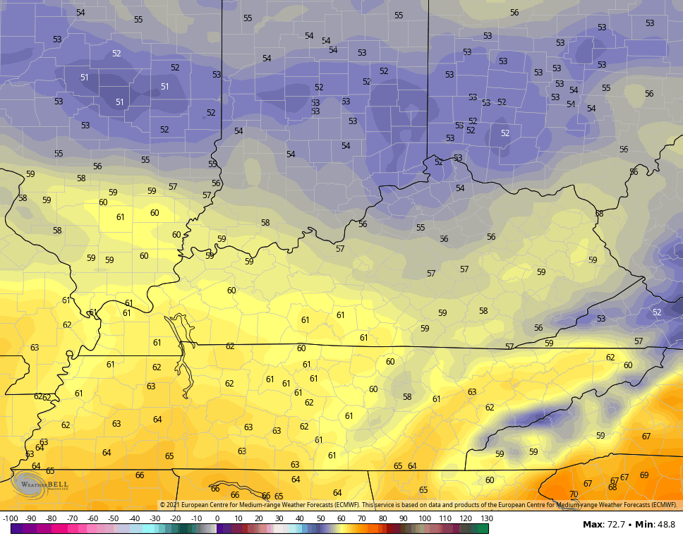
That cooler air then settles deeper into the state for Wednesday…
Patchy frost will be possible on a couple of mornings.
The pattern from here continues to skew below normal with the GFS Ensembles carving out a deep trough for much of the following week…
The European Ensembles are similar…
Cooler springs seem to be a thing in today’s climate. Ugh.
Have a great day and take care.

Thanks Chris, Over the last 48 hours according to the Mesonet 0.78 inches of rain recorded in my county of Taylor.
The forecast for my area is the mid to upper 30’s for lows later in the week. Frost a possibility for rural areas.
I just hope it doesn’t turn off hot and dry for the month of May followed by a warm, humid rainy Summer.
I read that another active Tropical Storm Season could happen ?
I’m not buying the cooler spring narrative yet.