Good Monday, folks. We are coming off a rather ‘blah’ kind of weather weekend for much of Kentucky, but today does get quite a bit better. Unfortunately, the overall pattern continues to skew colder than normal as the week goes by and this may actually carry us through much of the rest of the month.
Temps today range from the upper 60s to middle 70s with a mix of sun and clouds. Most of the day looks dry as our next system is delayed by just a bit, bringing the best chance for a shower or storm into late Tuesday and Wednesday. Given the later arrival of this system temps will be above what I thought yesterday, but still slightly below normal.
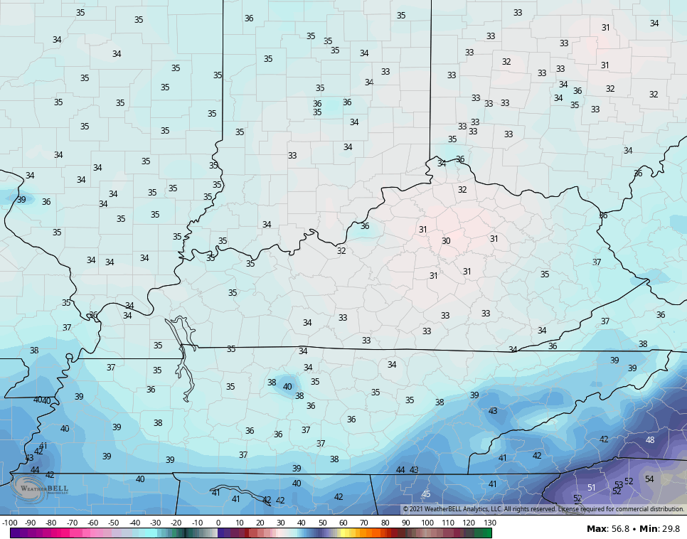
The core of the colder air arrives Wednesday night with the potential for frost to follow by Thursday mornings. Readings can make a run at freezing…
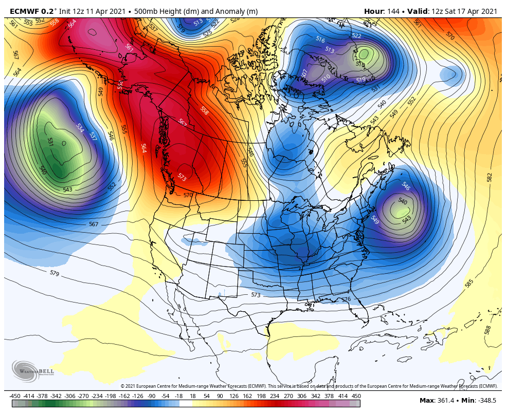
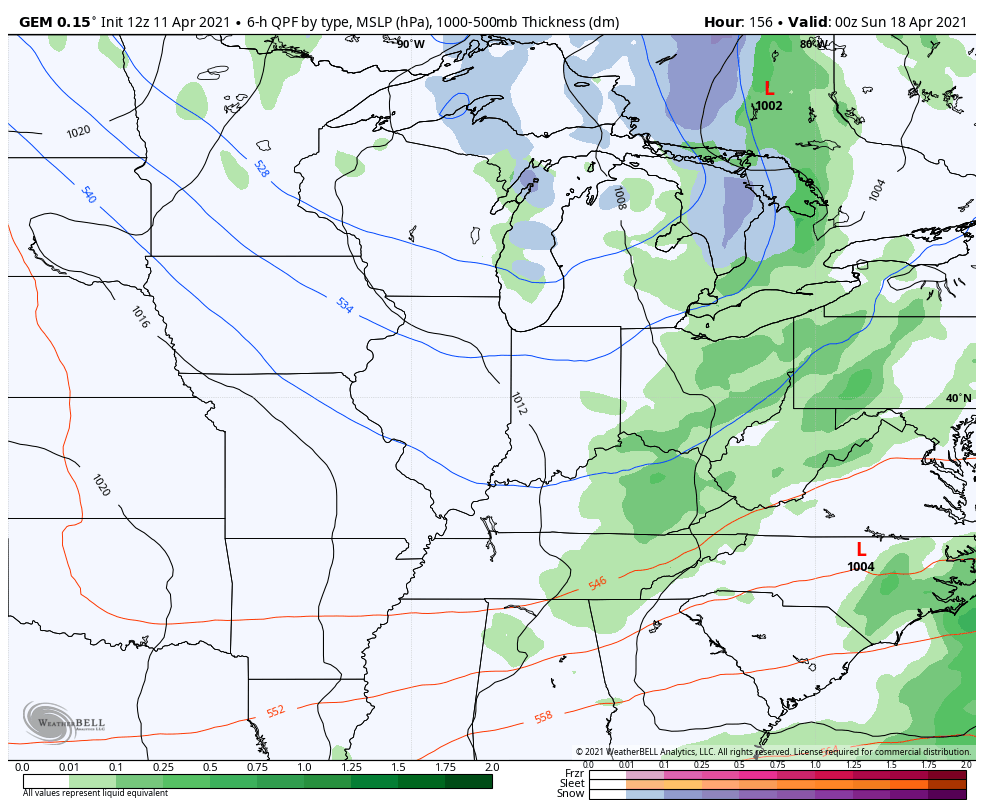
This sets off a pattern featuring big dips in the jet stream across the eastern half of the country. This looks more like a winter pattern than spring pattern…
EURO
CANADIAN
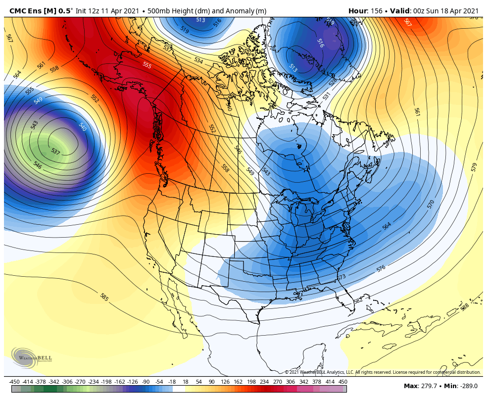
Both of those models actually bring some flake action fairly close to us into early next week…
EURO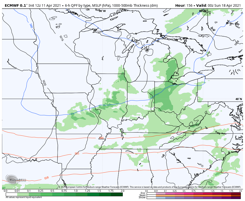
CANADIAN
That’s just an ugly spring pattern! Not only keeps us chillier than normal, but it also means the spring severe weather season goes quiet for an extended period of time.
Enjoy your Monday and take care.

Thanks Chris, all I can comment on is enjoy the cool Sunshine and hope the below normal temperatures later doesn’t freeze our crops and flowers and the severe weather stays away.