Good Wednesday, everyone. We have another round of showers impacting parts of the state today, but the overall theme of the forecast continues to be one featuring below normal temps. This chilly pattern is likely to take us through the rest of the month.
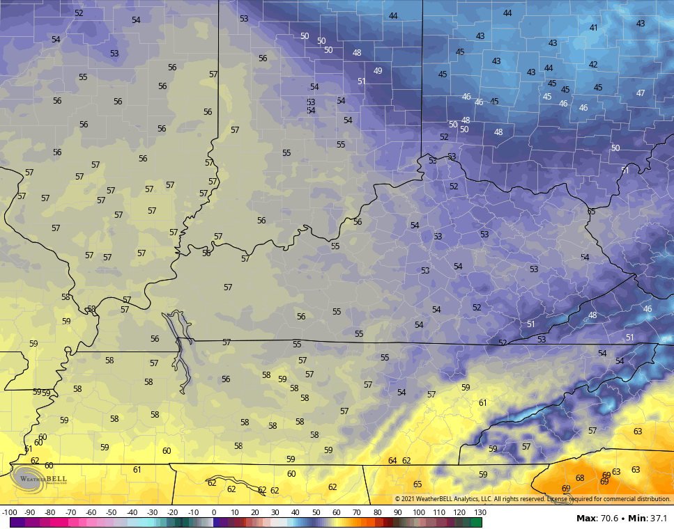
Today’s round of showers is likely to impact more of the south and southeast than anywhere else. While not constant rains, it will be enough to keep things rather gloomy for some folks. With the rain, temps are in the 50s. Outside of the drops, the numbers hit the 60s.
Here are your radars to follow along…

Lows tonight are really dependent on the amount of clouds around. With clear skies, lows reach the 30s. If the clouds hang tough, the numbers stay in the low 40s. Thursday is a flat out chilly April day with a mix of clouds and sun showing up. Highs in the 50s will be likely for many…
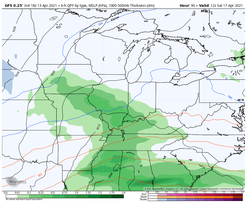
The next system moves our way at some point over the weekend and it unleashes some chillier air with another cold blast lurking behind that for next week. The GFS even has some flake action next week…
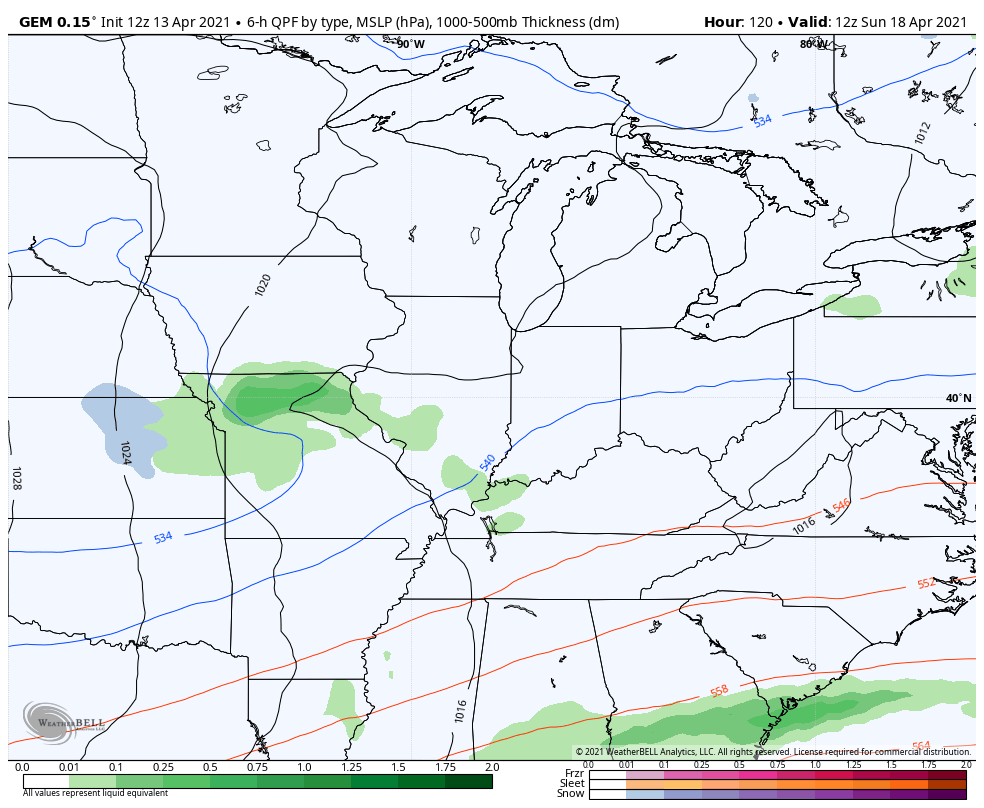
The Canadian isn’t too far away from showing it…
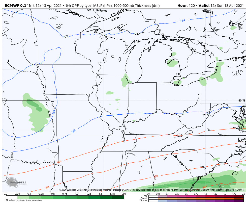
The EURO is also flirting with the idea…
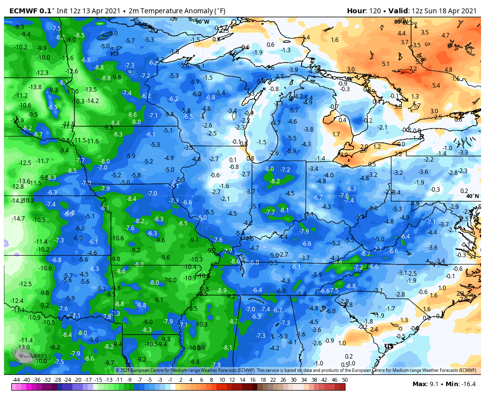
Regardless, this is cold for this time of year. Look at how far below normal the numbers get on the EURO through next week…
This is a really, REALLY, ugly pattern for the second half of April.
Make it a great day and take care.

We’ll be complaining about heat before much longer. 😉
Not me.. Bring on the Heat!!
Exactly!
Thanks Chris, I don’t mind the cooler weather as long as we don’t have a widespread frost which is now predicted in my area for early Saturday morning.
Gloomy day.
It appears that the rain is about to exit Louisville area.
Rain has arched around my county of Taylor, but looks to move in this afternoon.