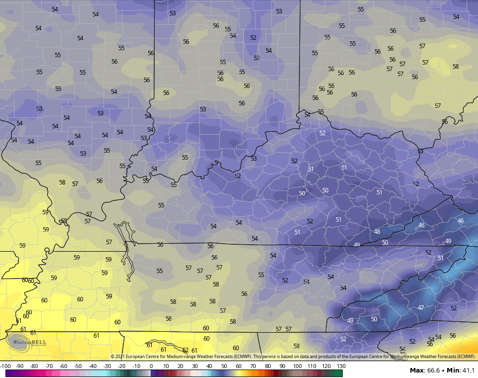
Good Thursday, folks. If you are a fan of true springtime in Kentucky, the pattern we are now in is about as bad as you’re going to find around here. The temperature trend is silly chilly right now and may actually grow a little colder into next week.
Let’s start with today and roll it forward. A mix of sun and clouds will be noted with temps only reaching the low and middle 50s for many on a gusty north to northwest wind. This chill will be with us into Friday with 30s in the morning and upper 50s during the afternoon. Some low 60s may show up for some , but those numbers are still below normal.
The next system then blows in here over the weekend and likely comes in two pieces. The first brings chilly showers for Saturday and will be followed by another shower chance from an upper low on Sunday…
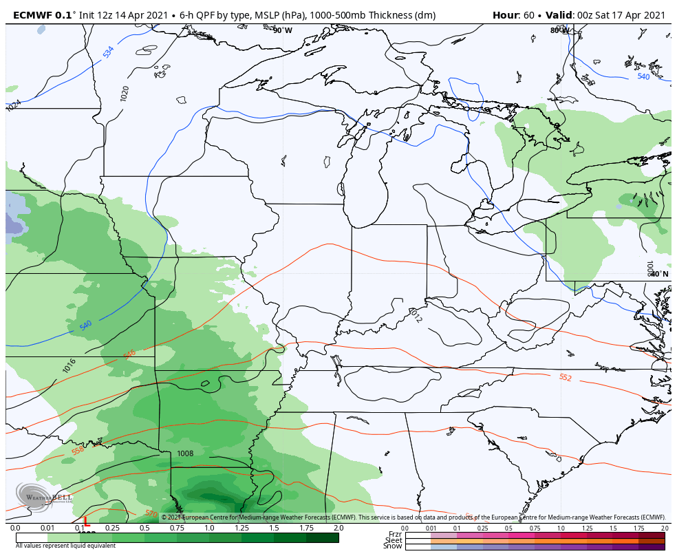
Highs on Saturday are flat out chilly…
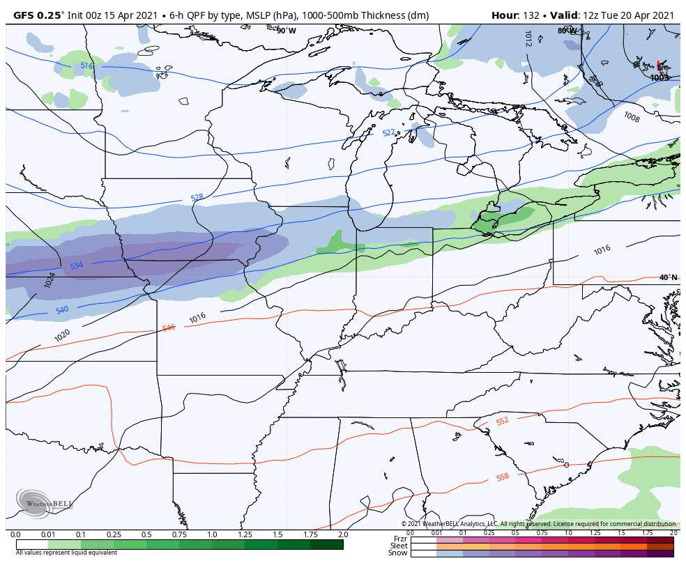
An even stronger cold front and surge of cold air is on tap for the middle of next week. The models are once again bringing the rare second half of April snowflake potential into our region…
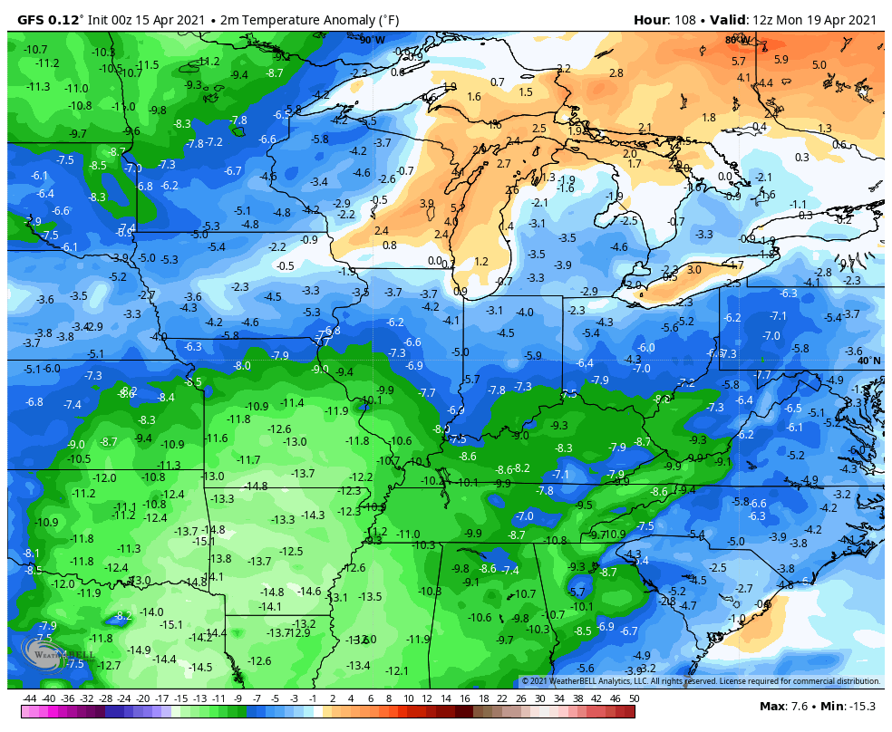
GFS
CANADIAN
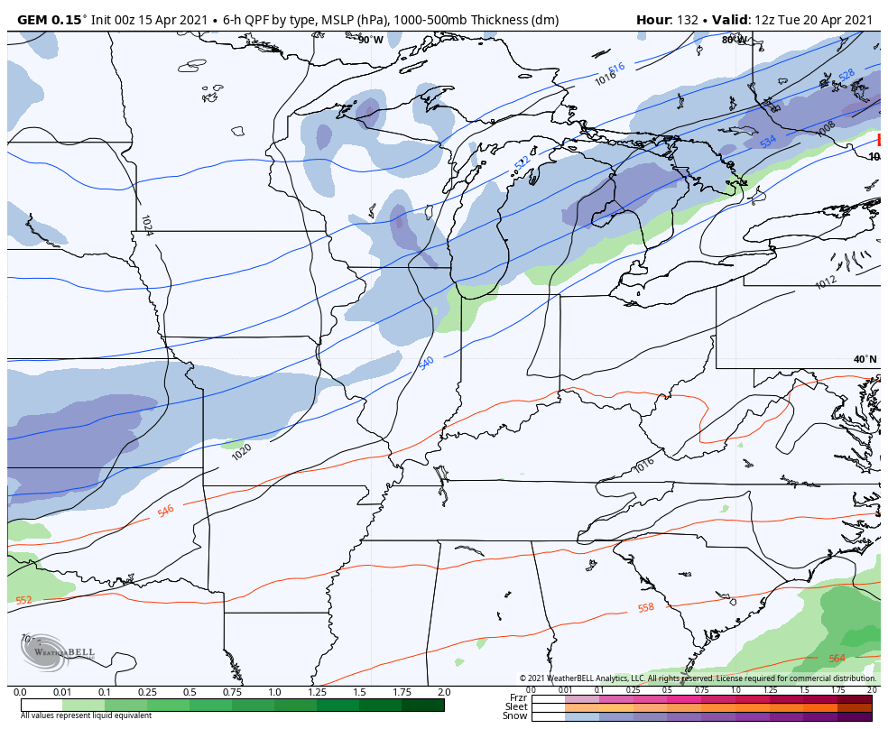
The amount of colder than normal temps that continue to show up over a prolonged period of time is impressive. This animation from the GFS goes from Monday through April 27th…
Again, cold shots in April aren’t that uncommon. The staying power of this one is what’s crazy. This is essentially the late April version of the February pattern that brought all the cold and snow/ice.
Need some good news? We’re probably looking at a pretty quick flip to warm as we begin the month of May. Of course, I do expect this to become one of the more active severe weather months we’ve had around here in a number of years.
Make it a great day and take care.

Wow… both the GFS and Canadian are showing snow moving through the Chicago area next Tuesday, with the GFS showing a major area of snow. We might still get that 1.2 inches of snow we need to break 50 inches for the season!
Two years ago on April 14th, O’Hare Airport received a record 5.4 inches of snow, but considerably less fell here in the SW suburbs.
So far April is averaging 8.3 degrees per day above normal for Chicago, thanks to the extraordinary warmth between April 3rd – 7th.
I wonder if this current weather pattern is the result of a weakening La Nina that is forecast to phase into ENSO- neutral for the Summer months ahead ?
I’ll just be happy once it’s 70 or above for good.