Good Friday, folks. It’s another well below normal temperature day and this looks to continue for the foreseeable future as additional cold shots arrive. The shot coming in for the weekend will be accompanied by a few showers that will add to our spring misery. The setup for the middle of next week even includes a small chance for a touch of flake action. 👀
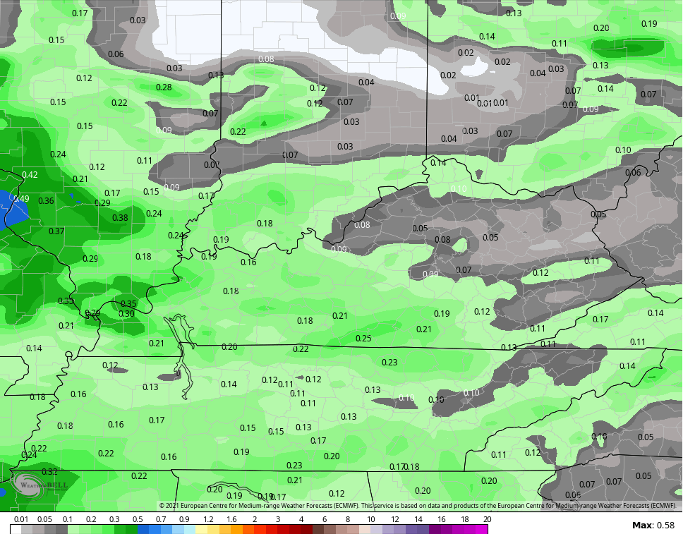
We start our Friday with a touch of frost across central and eastern Kentucky as readings hit the 30s. By the afternoon, a mix of sun and clouds will be noted with temps ranging from the upper 50s to low 60s. Clouds will thicken from west to east this evening as we get set for some of those chilly showers to move through here on Saturday. This isn’t all day rain, but this weather day won’t be winning any Top 10 Weather Day awards.
Highs for Saturday should stay in the 50s again. Temps will be back into the 50s again on Sunday with another upper level system working through here. This can spawn another stray shower or two. The models aren’t spitting out a lot of rain over the weekend, but enough to keep some of us damp…
That brings us to next week and the potential for a touch of winter weather. What the what?!!
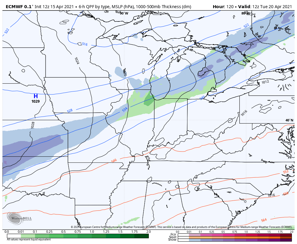
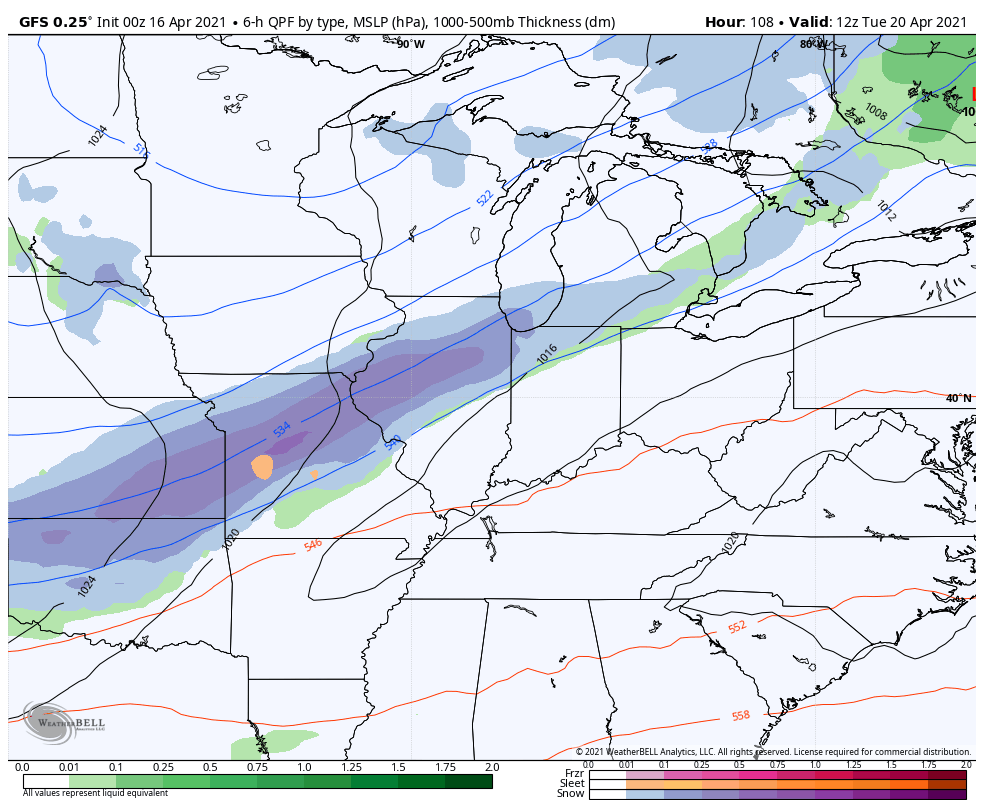
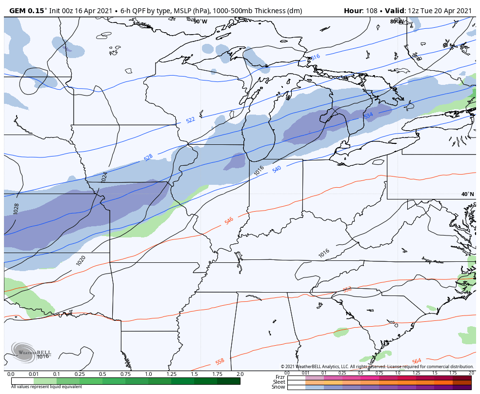
A powerhouse of a cold front drops in here Tuesday night with some rain ahead of it and the potential for a quick period of light snow behind it. Temps ahead of the front reach the 60s Tuesday then drop some 30 degrees as the front sweeps through.
The models are all singing a similar tune to the flake potential…
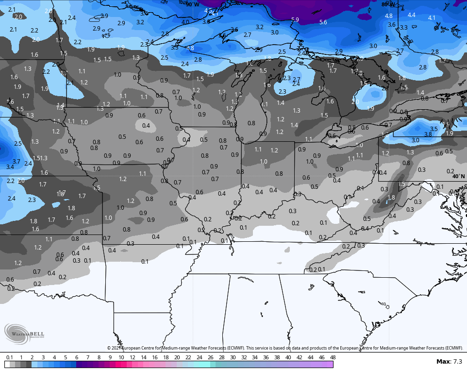
EURO
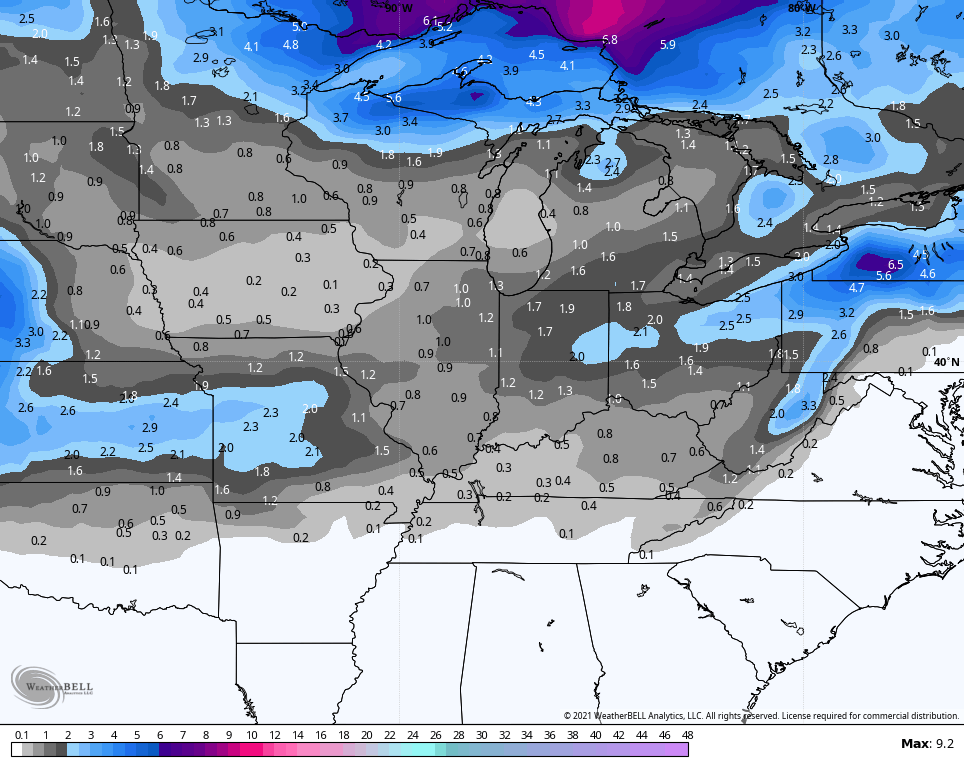
GFS
CANADIAN
While this is still a low risk of happening, it’s something the Ensembles have been hinting at for a while. They continue to grow a little more confident on the flake chance…
EURO Ensembles
GFS Ensembles
Temps behind this system may drop into the 20s for a freeze by Thursday morning. We should slowly rebound out of the really cold stuff after that, but it’s a slow climb toward normal for the final week of the month.
Enjoy your Friday and take care.

I predict 87 on Derby day haha! 😉
Maybe we are having our Autumn weather now and we will have our Spring weather in November.