Good Tuesday, everyone and welcome to June. Today is the start of Meteorological Summer and it’s also the start of a much stormier and wetter overall pattern. Scattered storms today will lead the charge for bigger rounds of storms to rumble through here in the coming days.
Today’s action increases from southwest to northeast as the day wears on. The best threat for showers and storms will be across western and central Kentucky. Here are your radars to follow along…

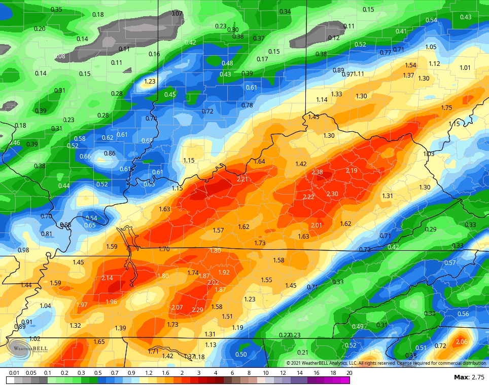
Low pressure slowly moves our way Wednesday into Thursday, bringing much more widespread showers and thunderstorms. The setup is there to deliver quite a bit of rainfall to parts of the region. I could see repeat thunderstorms causing some issues across, especially, central parts of the state.
A few of the storms may also be strong. The Storm Prediction Center has much of the region in a low-end risk for severe storms on Wednesday…

These rounds of showers and storms are then likely to continue through the end of the week. The models are spitting out some hefty rain totals through Friday…
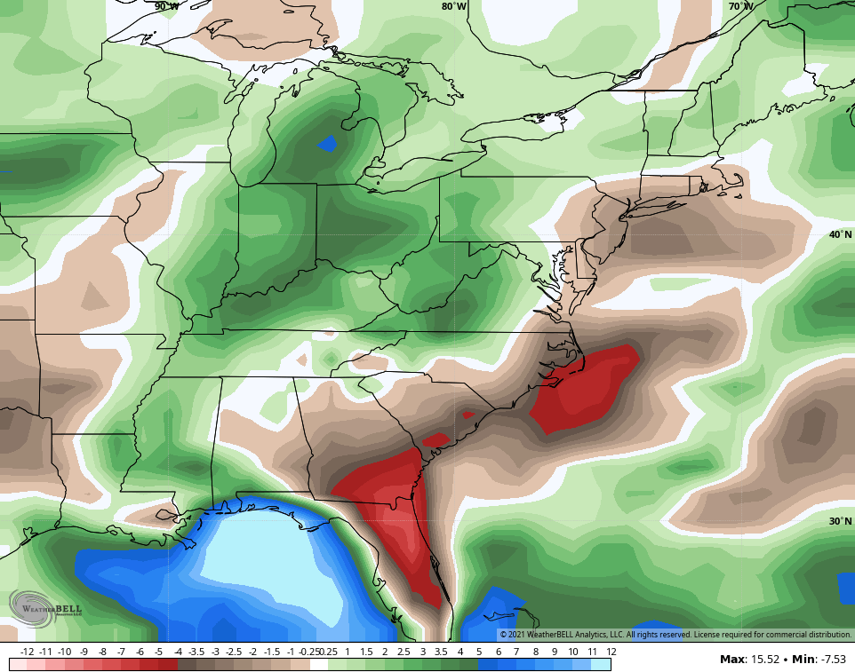
GFS
For the month of June as a whole, the CFS shows above normal rainfall for much of our region…
It has the entire summer averaging above normal…
The same model run as temps at or slightly below normal…

Make it a great start to the new month and take care.

Hoping for a decently hot, not too dry summer here.
Looks like less chances for rain (according to the various weather models) the farther south and east towards the ridge this Summer.
After the Fourth of July I will be ready for Autumn weather.
We are now in the ENSO-neutral phase and it is expected to return to ENSO-La Nina this Autumn and Winter, but this is just a forecast by NOAA.
it’s so crazy the past few years the lack of storms. I don’t ever remember going years in a row and feeling like it’s RARE to hear thunder which is crazy in this climate. When I moved here in 1996, it was always storming during the spring/summer without fail. But the past few years I dunno what’s up…….we’re certainly having no shortage of rain. In fact, each year meets or exceeds our normal……and yet the energy just isn’t there for the storms.
I was always nervous about thunderstorms so I’m not complaining about the lack of them. Nice gentle rains would be good for me.
We are running below normal on rainfall here where I live in central Kentucky. Mowing the lawn yesterday kick up quite a bit of dust and I had to water a couple of plants in my yard. The rains are not widespread as they were earlier in the Spring.
Lack of thunderstorms may be due to the low convective energy over our area. That could change at anytime.
Very little if any rain is predicted for the Chicago area for at least the next five days, with temps approaching or exceeding 90 by this weekend.
Meantime, today is a real winner with mostly sunny skies, temps in the mid-70s, and light winds.