Good Monday, everyone. Our gorgeous weather pattern continues to take control and it’s flexing some early fall muscle across Kentucky and the entire region. This is bringing well below normal temps our way for the entire week. Can we get a few showers to join the party by the middle and end of the week? Yes. 😁
Temps start our day deep into the 50s and may even flirt with record lows in a few spots. With mostly sunny skies and low humidity, highs are in the 70s.
Tuesday is very similar to today with 50s to start and upper 70s in the afternoon across the eastern half of the state. The west hits 80 or a bit above, but it’s still pretty awesome.
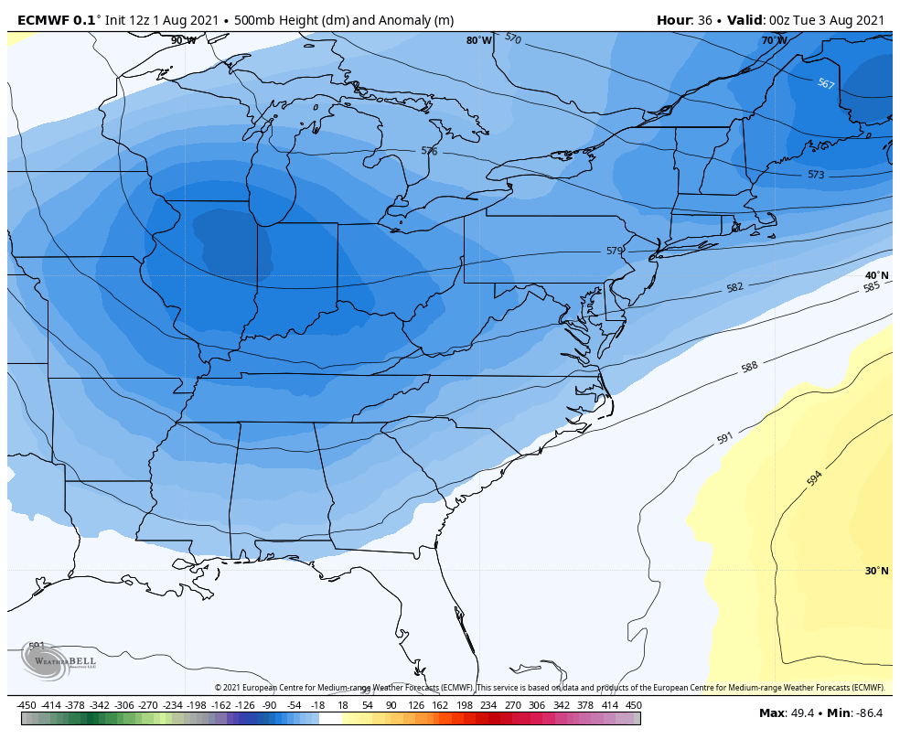
As our deep trough starts to pull away by the middle of the week, it leaves behind quite the upper level low spinning right on top of us…
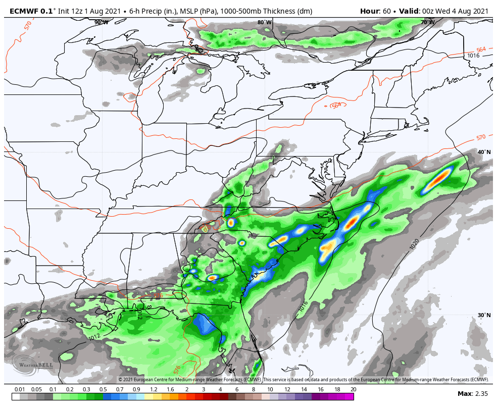
Notice how that leaves behind a piece of the trough all the way into the upcoming weekend. This keeps our temps in the well below normal category during this time and may also spawn a few showers and storms, especially across the eastern half of the state…
If we look ahead to the month of August as a whole, we find the CFS keeping things normal to below normal for the month…
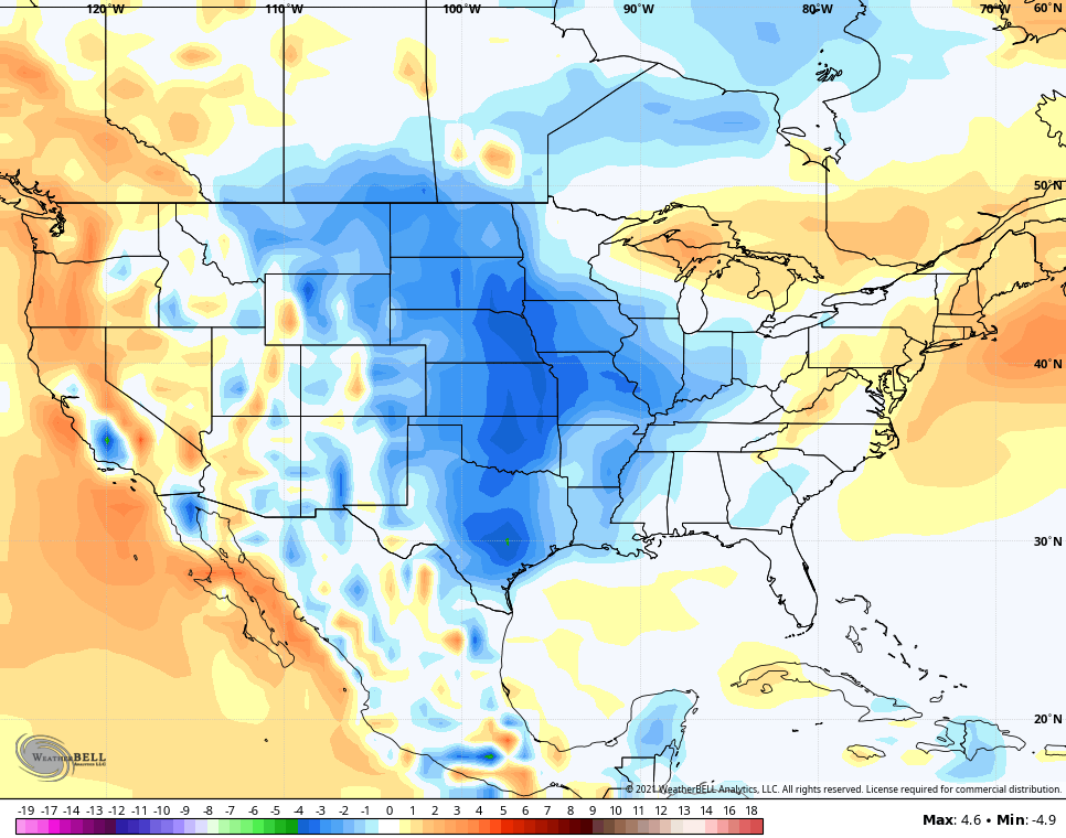
We know the first week of the month is well below normal, so the model is hinting at a warmer rest of the month.
It also has a normal to slightly above normal rainfall look to it…
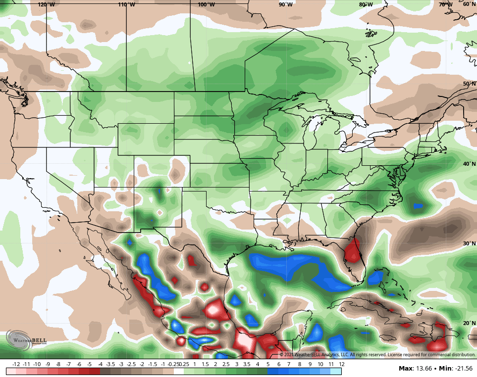
That look in the Gulf is arguing for a big burst of tropical action down there as the month wears on.
Have a great Monday and take care.

My water sprinkler will be in operational mode this week.
The temps will be great so I really cannot complained.
Great to get some yard work in before the heat returns this coming weekend.
https://www.weather.gov/lmk/july_2021_summaryJuly Summary from the NWS :
Omit the above. Something went wrong. I wanted to show that Lexington, Kentucky was the coolest at an average temperature for July at 74.6 degrees.