Good Sunday to one and all. It’s a typical August day in the Commonwealth as overall temps finally climb to normal or a bit above. The threat for a few storms comes down, but it’s ready to ramp back up on Monday as we go into a pattern featuring rounds of showers and storms for the week ahead.
Thermometers on Saturday felt more like summer for a change, but that’s more the exception than the rule this summer. Take a look at how much of the region has been well below normal for the past month…
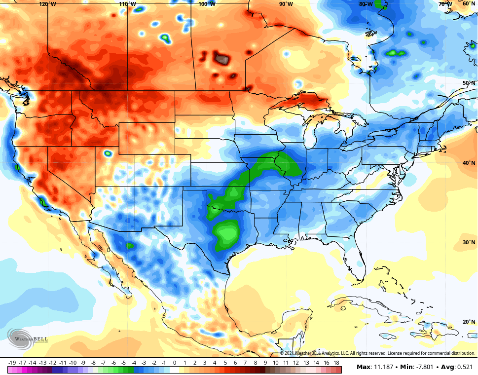
It’s a good thing the actual weather doesn’t listen to weather Twitter or else the entire region would look like a red paint bomb exploded over it.🔴 💣😋
Temps today make a run at 90-92 in the west and mid to upper 80s for the eastern half of the state. There’s still the chance for a storm or two to go up and your friendly radars will find whatever is out there…

Deep tropical moisture then pushes in here from the southwest starting Monday. Humidity levels will be way up and this will lead to rounds of showers and storms going up and that’s a trend that continues through the week. The showers and storms my then increase even more ahead of a late week/early weekend cold front dropping in from the northwest.
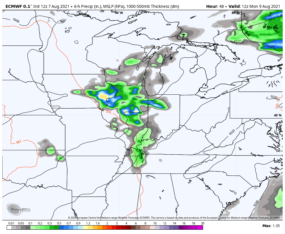
Here’s how the EURO sees things from Monday through Friday…
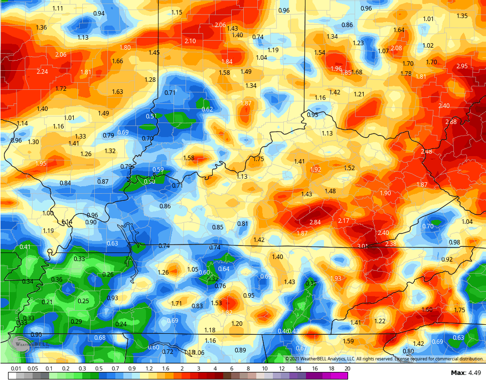
Strong storms may show up from time to time, especially along the front. We will also need to watch for some cloudbursts causing local high water issues. The GFS has some decent totals through Friday…
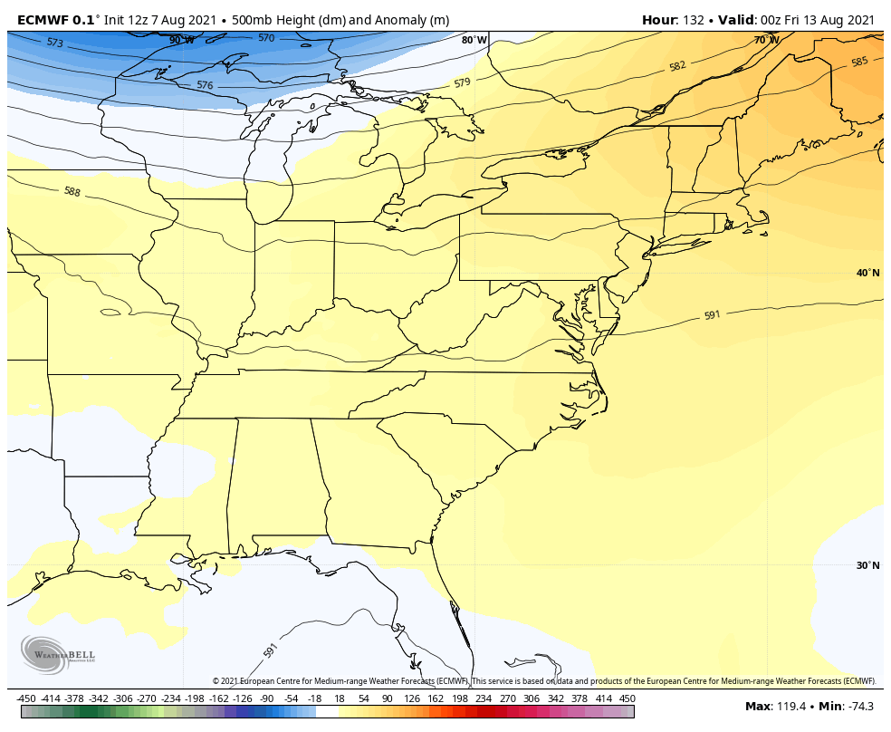
That late week front is the first of two troughs the EURO sees from late week into early the following week…
Yesterday, we looked at the EURO Seasonal for the winter ahead. Today, let’s take a look at the CFS for December-February. The average 500mb departure shows quite the trough across the eastern half of the country…

Holy -NAO, Batman!👀
Have a happy Sunday and take care.

It hasn’t been that much below normal here in the Chicago area. In July, the average temperature at Chicago’s O’Hare Airport was 74.4 degrees, which was just 1.0 degrees below normal. Though, there were only five 90 degree days during the month.
So far in August, temps have averaged slightly below normal, but much above normal temps are predicted for the next several days.
We could really use some rain, just like a lot of you guys in Kentucky.
Here in central Kentucky the Summer so far has been great as far as temperature go, but we could really use some rain for the soybean crops. The corn crops are in excellent condition and won’t need much moisture now as the ears are made and will soon be ready for harvest.