Good Wednesday, folks. What’s left of Fred is pulling away to our northeast after drenching parts of eastern and southeastern Kentucky. Tropical air remains in place across the region and this will help fire off a few storms out there again today, with more storms for the rest of the week and into the coming weekend.
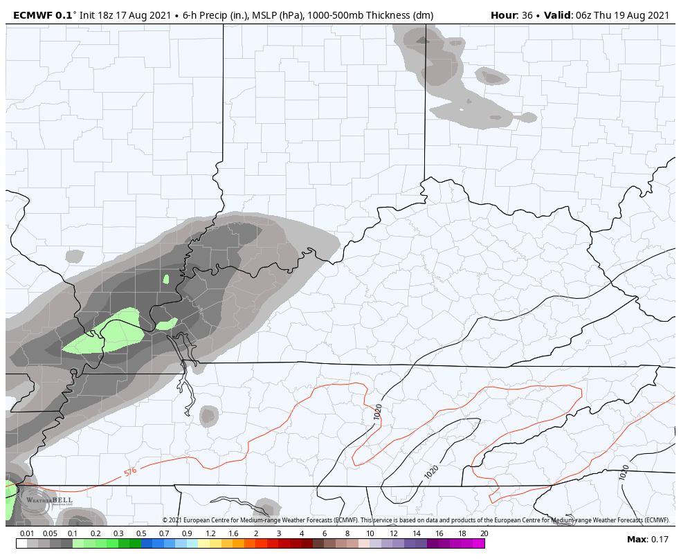
Torrential rains are in eastern Kentucky very early this morning, likely causing some flooding issues. Once this moves away, a mix of sun and clouds take over on a muggy day in the Bluegrass State. This will allow for scattered showers and storms to go up and a few could even be strong in the west. That’s where the Storm Prediction Center has a low-end risk for severe weather…

The threat for storms will increase tonight into Thursday from west to east and I could see this scenario spitting out a strong storm and local high water issues…
Scattered storms will be around into Friday with an increase on Saturday as humidity levels stay very high.
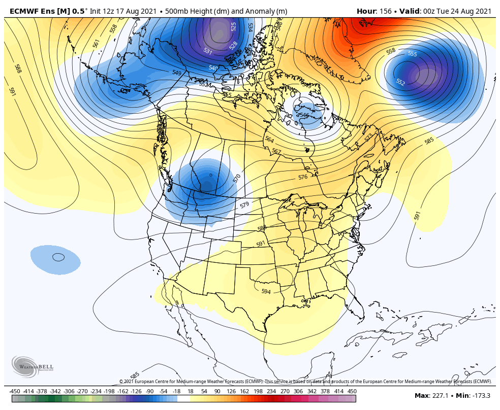
The setup for early next week has temps staying very steamy with a ridge of high pressure near us, but this works back to the west very quickly. Watch how this trough continues to show up stronger in the east on the Euro Ensembles…
The tropics are going to continue to spin storms up at a rapid pace through the rest of the month into early September.
Grace continues west toward Mexico and isn’t a threat to the States…

Tropical Storm Henri is in the Atlantic and actually has a chance to get drawn much farther west toward the northeastern coast by the coming weekend. Here’s the information and latest track forecast from the National Hurricane Center…

As usual, I leave you with your daily dose of storm tracking tools…

Current watches

Possible Watch Areas

Make it a great day and take care.

Typical August weather hot and humid for our part of world. Just knowing fall is around the corner, looking forward to it.
With adequate soil moisture, the Fall foliage should be more colorful than last year. It all depends on temperature and the tropics now are not helping. Hopefully, we will not have tropical weather in October.