Good Thursday to one and all. It’s another day with rounds of showers and storms rumbling across the Bluegrass State. This isn’t all day stuff, but we are likely to see some hefty rain totals showing up in a few hours. As we look down the weather road, we start to see some seasonal changes taking place as we head into the final days of August.
Today’s storms aren’t constant and will be moving from west to east. While not everyone will be seeing rain, those who do will get under some torrential downpours that may cause some hit and run high water issues.
Here are your radars to follow along…

Friday will feature a scattered storm or two around, but we will have lots of dry times and that bodes well for the kickoff of the high school football season.
Our weekend is pretty steamy with the potential for a storm or two, but the trend has been for less and less coverage…
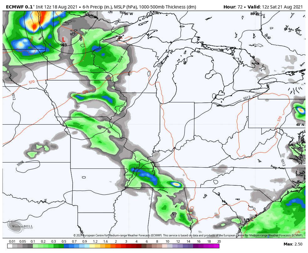
Next week starts toasty around here as a ridge of high pressure will be near us, but this ridge goes back to the west and allows for a trough to dig into the region to close August and into the first few days of September. The EURO Ensembles keep showing this scenario a little better with each run…

That leads to a cooler setup as we get set to close the books on Meteorological Summer and kick off Meteorological Fall. Wait… Fall??!!! Yes, please!! 🍁🍂
The tropics continue to flex with Hurricane Grace rolling into Mexico and Henri becoming a Hurricane off the east coast. My last update talked about how this could trend west toward New England and the latest forecast track from the National Hurricane Center is now showing this…

Have a terrific Thursday and take care.

FALL…
My favorite 4-letter “F” word!
Here is the link for the final summary of the tornadic activity that took place across Northern IL during the late afternoon/early evening of August 9th. There were ten confirmed tornadoes across the far West and NW suburbs of Chicago. Four of the tornadoes were classified as EF-1. Included in the link are some pretty awesome photos of many of the tornadoes.
http://weather.gov/lot/2021aug09
Here is the link for the final summary of the tornadic activity across Northern IL during the late afternoon/early evening hours of August 9th. There were ten confirmed tornadoes, four of which were rated EF-4, in the far W and NW Suburbs of Chicago. Check out some of the photos of the tornadoes also. http://weather.gov/lot/2021aug09
My bad, the tornadoes were rated EF-1, not EF-4.
Thanks for sharing Mike. NWS does a great job in releasing information on past storm events.
Late yesterday afternoon we had a “tropical downpour” that added to our monthly rainfall total. This is the second “tropical downpour” this week and it looks like more is on it’s way after glancing at the current radar.
The troughs and ridging may shift back and forth across the US in the coming days while the weather in the Tropics remains constant.
Autumn weather at this time looks to be a long way off. One thing that hasn’t changed is the nights are getting longer.
No No No! I’m still in summer mode until after vacation in October–then I am ready to accept Fall. 🙂
Really hoping we get some more good pool weather before having to close it up.
Thanks Chris for all you do. Been a while since I commented–it’s hard with mom being gone. Thanks again!