Good Sunday and Happy Halloween. We have some better weather blowing in just in time for the kiddos to do a little trick or treating. As we get into the new week and the start of November, the pattern continues to take on a winter look. That means the potential for the first flakes of the season to fly in parts of our region.
Low clouds and some drizzle or sprinkles linger early today across central and eastern Kentucky. Slow clearing will then take place this afternoon and evening with highs ranging from the middle 50s to low 60s depending on where you are.
Here are your radars to follow any early day action that’s strong enough to show up as some specks…
…
There’s a sneaky little disturbance that could even spit out a light shower later tonight as it crosses northern and northeastern Kentucky.
This leads us into a cold first week of November and it’s one that has a chance to produce the first flakes of the season for some. A cold front moves through here Monday night and Tuesday and may spit out a few showers as it does so.
Temps behind this drop quickly and may not get out of the 40s on Tuesday with lows by Wednesday going below freezing and maybe dropping into the upper 20s. Here’s the NAM temp animation from 8am Tuesday through 8am Wednesday…
That brings us to the possible storm system for the second half of the week. The models continue to change from run to run and this is to be expected of any system from several days away. The EURO has been the most consistent in showing rain and some flake action around here as it has a much stronger and farther north system. The latest run of the model is REALLY wound up…
You can clearly see how that’s a biggie system with a lot of rain and the chance for some flakes.
The GFS continues to go back and forth on the flake potential. The Saturday evening run showed some flake action Thursday…
The very next run from the GFS then took it away…
One of the main biases of the GFS is to crush systems too far south.
This Canadian also took away the flake chance from everyone but the far southeastern part of Kentucky…
We are right in the middle of the period where models typically lose something before finding it again.
Regardless of flakes or no flakes, this is a very cold opening to the new month. Temps over the first week of the month are likely to average WELL below normal…
We may very well see a trough linger across the eastern half of the country once this system pulls out. The GFS Ensembles show this very well into the start of week two of November…
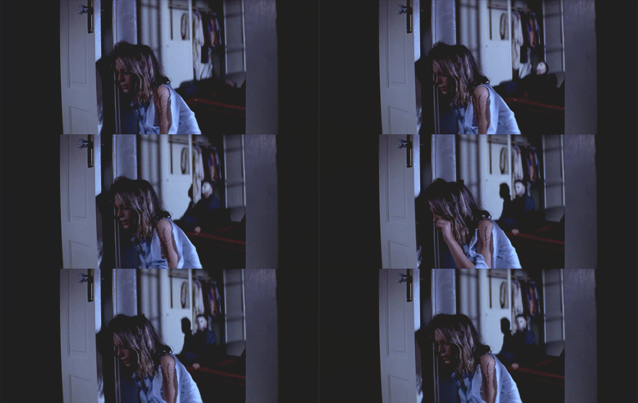
Since It’s Halloween, did you guys know one of my favorite scary movies of all time is Halloween? The John Carpenter classic has all kinds of Kentucky based references in the film because the man himself grew up near Bowling Green and attended WKU. He also directed The Fog and that too is littered with roads and town names from around the Bowling Green area.
It doesn’t stop there… John Carpenter also came up with one of the greatest theme songs in movie history. I leave you with this cinematic classic…
Another update comes your way later today… That’s if Michael Myers doesn’t somehow get in the way…

Have a Happy Halloween and take care.

All this talk of snow.
Makes me want to know.
When Chris Bailey’s winter weather forecast will finally show.
The only chance for any snow to accumulate would probably be during the night.
He doesn’t usually do it until late November.
Yes but I am impatient!!
Chris gave his Winter Forecast last year the evening of November 19th. In my local forecast chilly Pacific air will give us a good chance of the first hard freeze sometime late next week ?
Indian Summer should follow the first hard freeze ?