Good Monday and welcome to November. Wait… What? How on earth have we made it to the month of November already?? For winter weather lovers, this is the month that gets things off and running as it usually gives us the first flakes of the season. Can we get some right out of the gate this week? The chance is there, but it’s the much colder than normal temps taking center stage.
Clouds will increase on our Monday with temps generally in the 50s. Winds will gust up ahead of a cold front moving in here later this evening through Tuesday. This will have a band of quick-hitting shower with it and there’s a small chance for a flake or two to mix in. If you look closely enough you can see just a hint of some blue showing up on the Hi Res NAM future radar…

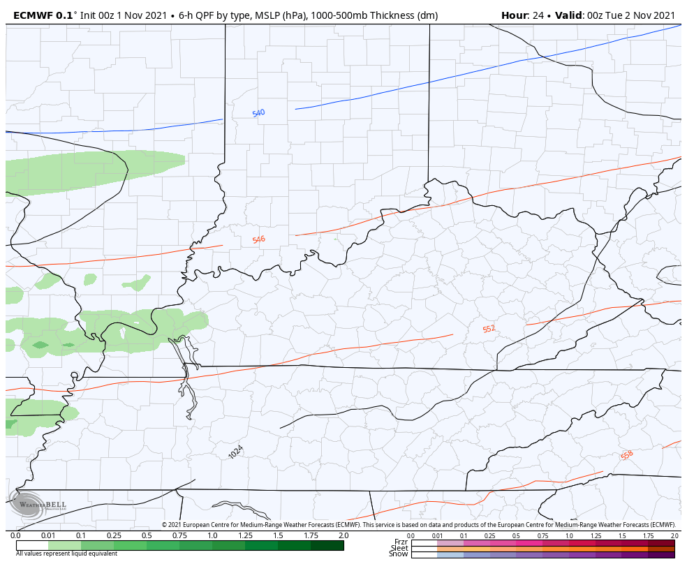
The EURO shows a speck or two of blue as well…
Here are your radars to follow the increase from the west…

Temps on Tuesday range from the upper 40s to low 50s for many and continue to slide from there. Check out the temp animation from the NAM form 8am-8pm Wednesday…

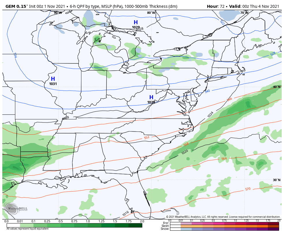
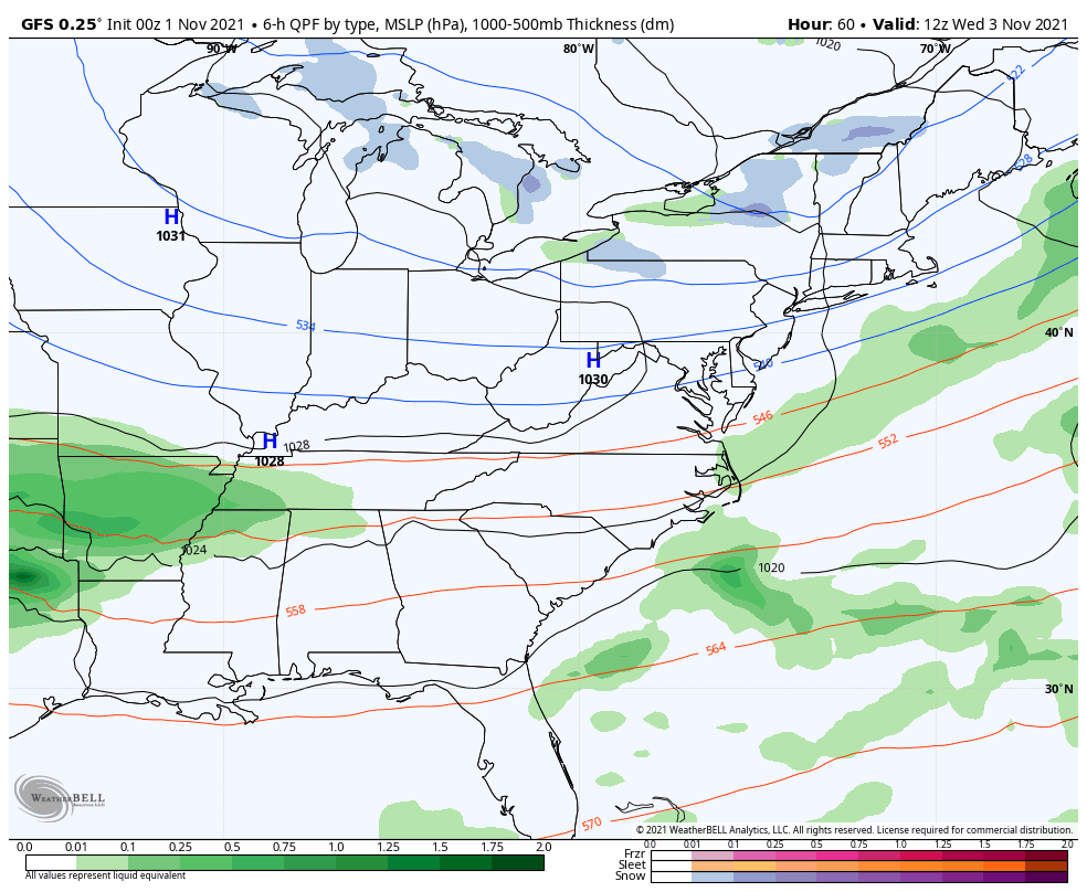
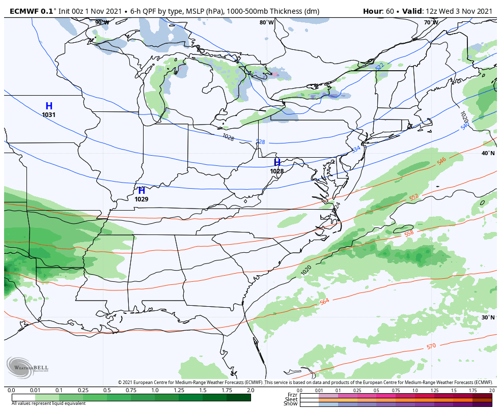
From here, we continue to watch a southern stream system that the models continue to keep suppressed with only a glancing blow across southeastern Kentucky…
Canadian
GFS
EURO
The cold temps are the main story with this setup with a few days staying in the 40s for highs. While that may not sound “cold”, it certainly is in relation to normal highs that should be in the low 60s this week.
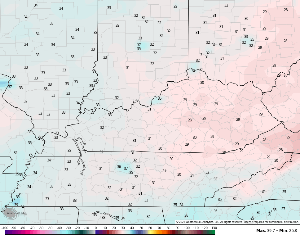
Lows are deep into the 20s on more than one morning. We find the collective models showing their respective biases with the GFS being too warm…
And the Canadian being too cold…
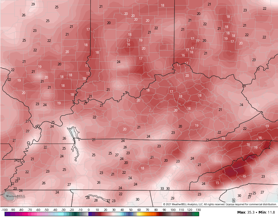
The truth is likely in between those two runs.
This cold shot is NOT an early start to winter, but it’s giving us a little preview of where I think we are headed later in the month and into December… Much colder than normal.
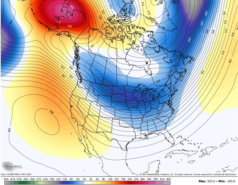
The GFS Extended shows that well for the final days of November into early December…
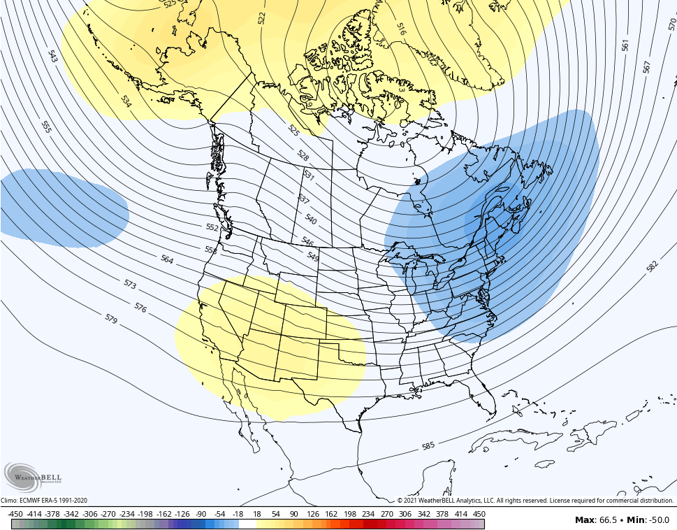
The Control run is even more emphatic…
I will have another update later today, so check back. Make it a great day and take care.

It appears that the GFS was correct about the track of the southern storm. The GFS bias was correct this time.
After a very foggy start to the morning a very beautiful day is on tap. The trees are just gorgeous with their Autumn color and that makes a person feel good. Life is too short ! Go out and enjoy this wonder of nature !
I really like these mild days and cold nights going up this week. Hoping there will be a continuation of the dry weather for at least a week.
As for Winter weather in November one never knows. We shall see.