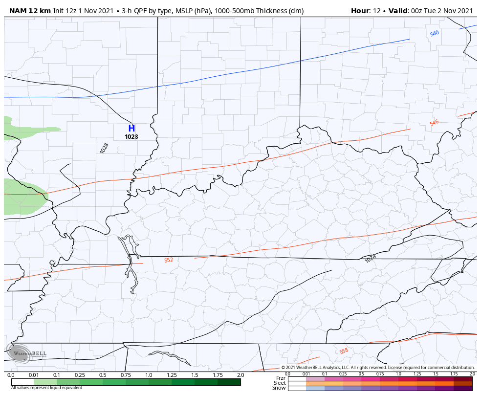
Good afternoon, folks. We have a cold front sweeping into the region tonight and this will bring much colder air for the rest of the week. There’s even the chance for rain to mix with a few snowflakes behind the front by early Tuesday.
The band of showers associated with the front are along and behind it and that means we have a shot for some flakes to mix in. Check out the specks of blue showing up on the NAM…
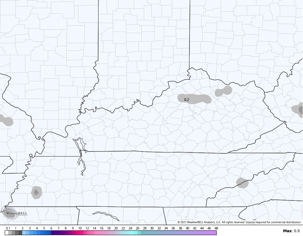
Here are the areas that run thinks could see some flake action…
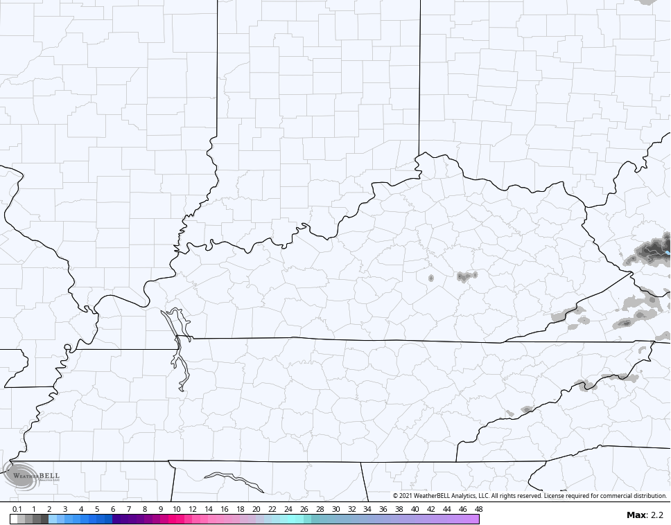
The Hi Res NAM is also seeing a flake or two, but mainly across the southeast…
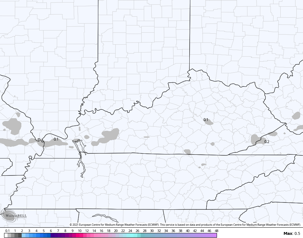
The EURO is also showing a few pockets of wet flakes…
This introduces a very cold pattern for the second start of November with highs in the 40s and lows that will drop deep into the 20s.
The next system looks to stay to our south but may brush the southeast on Thursday…
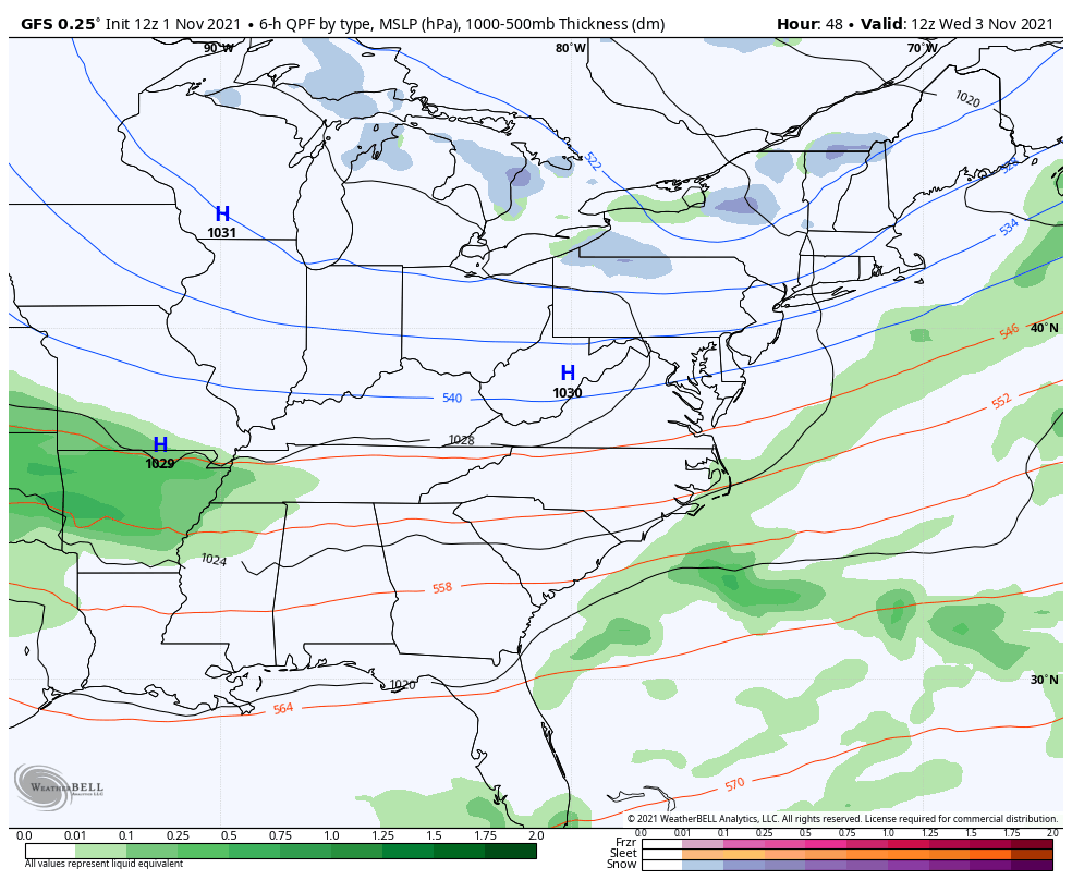
GFS
I’m actually enjoying a day off work, but KWC never stops so I may throw you another update this evening. Until then, here are your radars to track the stuff in from the west…

Enjoy the rest of your day and take care.
