Good Saturday to one and all. Our first weekend of November is off and running on a gorgeous weather note and this looks to roll into the first half of next week. Once into later next week, the whole pattern changes in a hurry and may very well give us some winter weather next weekend.
As always, we kick this party off with what’s happening out there today. Temps are in the 20s to start and will end with highs in the 50s. Skies stay awesome.
Sunday looks even better with upper 20s and low 30s to start and upper 50s to low 60s during the afternoon.
Temps reach deep into the 60s into the first half of next week and a 70 may even show up. Southwest winds will be rather breezy, especially toward the middle and end of the week as we get set for a major change later in the week.
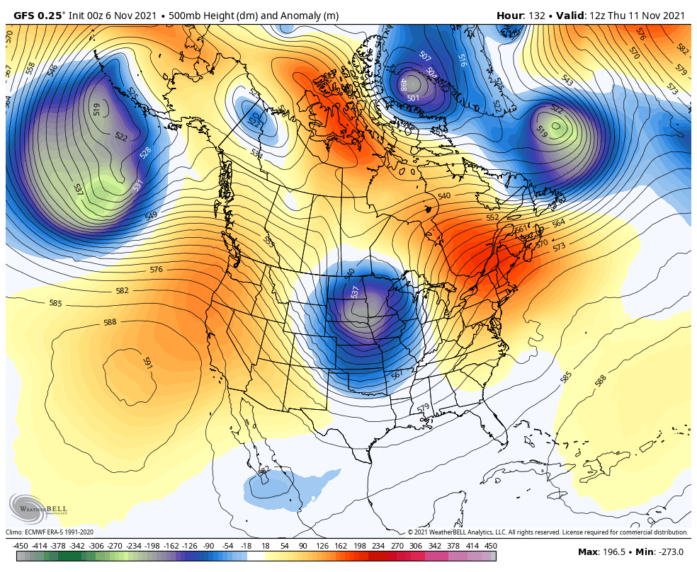
The setup is there for a major amplification to take place, sending a deep trough in here late week into the weekend. This will likely be two systems dropping in with the first arriving Thursday into Friday with the next over the weekend…
GFS
CANADIAN
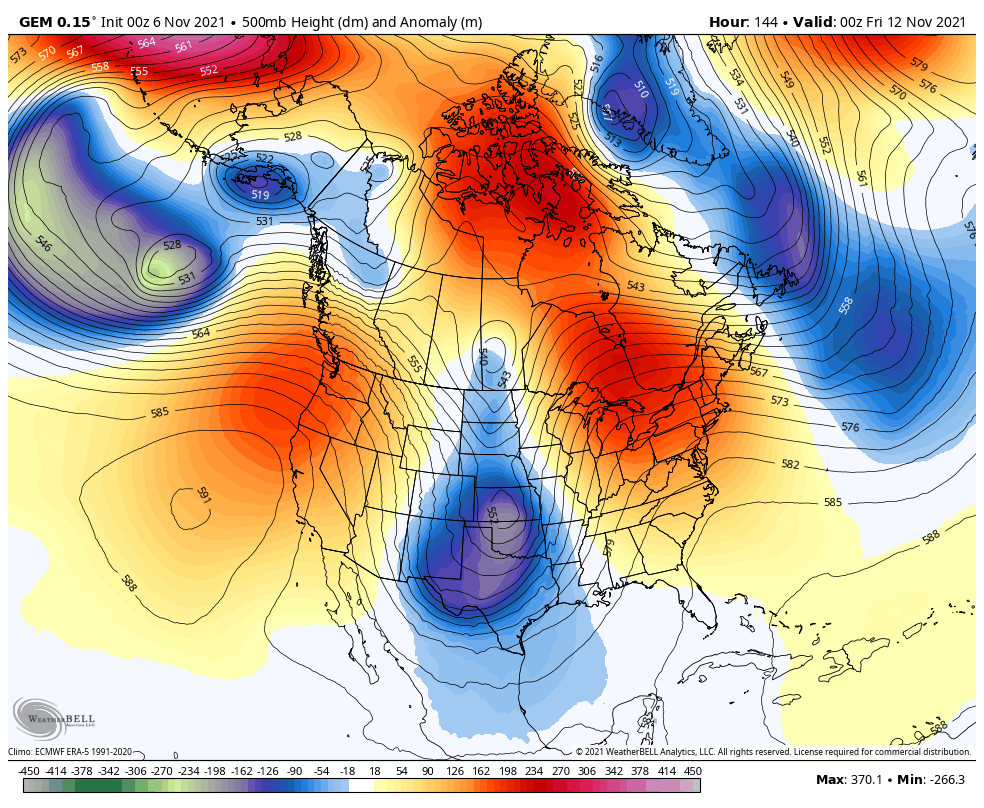
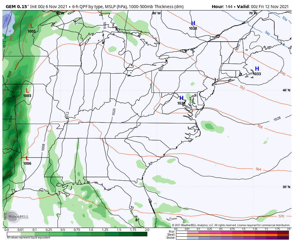
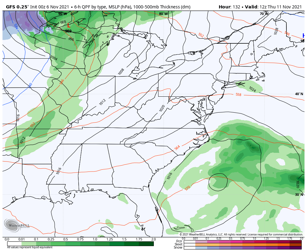
At the surface, this is likely a setup that brings us gusty winds with some showers and storms ahead of the first system, with the potential for some winter weather behind this next weekend…
CANADIAN
GFS
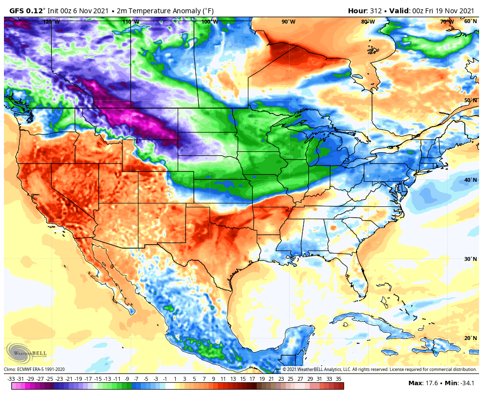
That’s likely to be followed up by another trough arriving later the following week. The GFS has some big temp departures showing up…
The EURO Ensembles continue to show the deep trough idea late next week into the weekend and then they keep the trough around in the means through the end of the run…
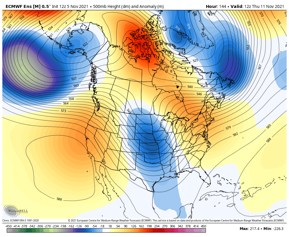
That ridge up the west coast looks to be locking in there and that’s another good sign for early season winter lovers.
I will try to get you another update today, but no promises. Make it a good one and take care.

boring weather almost over, plenty of eye candy on models now