Good afternoon, folks. Gorgeous early November weather continues across our part of the world and the best is yet to come over the next few days. Enjoy it, because it all comes crashing down before the week is over as another frigid, and wintry looking, setup kicks in.
Speaking of frigid, the streak of cold mornings is making a little bit of history…
With a low of 27 this morning, Lexington has now recorded 5 straight mornings (Nov 3-7) with lows of 28 degrees or colder. This is the earliest such streak on record and tops 1976 (Nov 4-8) by one day. Records go back to the 1870s. #kywx
— Chris Bailey (@Kentuckyweather) November 7, 2021
Anytime you can beat out 1976 in terms of cold, you know it’s been a really cold air mass. I will be curious if any other sources in the area weather world even acknowledge this.
Temps in the coming days take off and it’s a full blown case of Indian Summer with temps reaching deep into the 60s and flirting with 70.
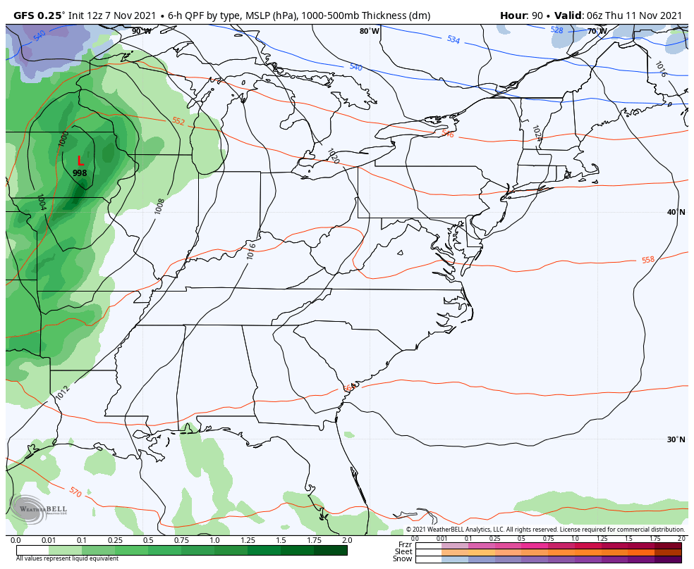
This changes behind a strong system moving in Thursday and early Friday. Low pressure works into the Great Lakes and brings a cold front through here. A wave of low pressure is likely to develop along the boundary with another system diving in behind it later in the weekend.
The models continue to go back and forth on respective scenarios and will for another few days.
The GFS is slowing things down slowly but surely, but is still a bit too progressive…
Here are the wind chill numbers from that run from Saturday morning through Monday morning…
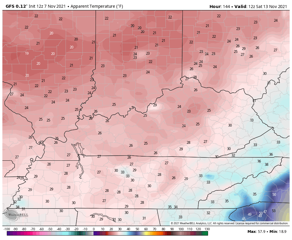
Given the warm bias of the models, take a few degrees off everything they show.
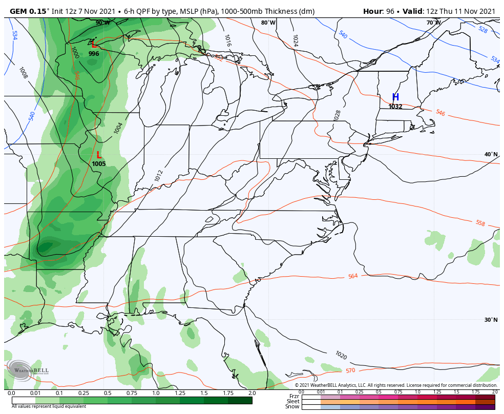
Here’s how the Canadian sees the whole thing playing out…
The EURO is also shedding some of the biases it has…
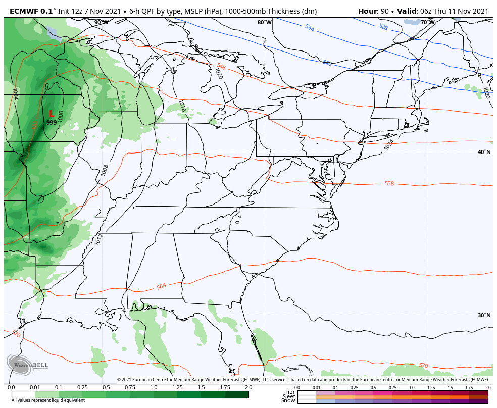
The EURO is THE warmest biased model known to man so keep that in mind.
Once all that blows through, the pattern likely turns milder again for a few days before the next trough digs in for the week leading up to Thanksgiving.
The new GFS Extended shows a fairly deep trough in the means through December 11th…
Again, that’s a 30 day average ending on December 11th and indicates a colder than normal overall setup that would give us snow chances.
Enjoy the rest of the day and take care.
