Good afternoon, everyone. Rain is quickly increasing from southwest to northeast as cold air crashes into the region. This means a few flakes could fly later tonight in parts of the region and there’s another chance for some flakes Sunday and Monday.
Let’s get into how things play out:
- A few showers are increasing through this evening and this is ahead of a push of cold air. As the cold catches up, a few flakes may fly across parts of central and eastern Kentucky tonight and early Saturday.
- Saturday is a cold day with temps 40-45 west and south and mainly upper 30s in the north. Wind chills will be much lower and a flurry could still fly.
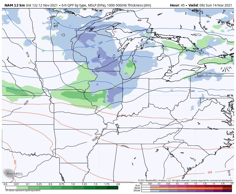
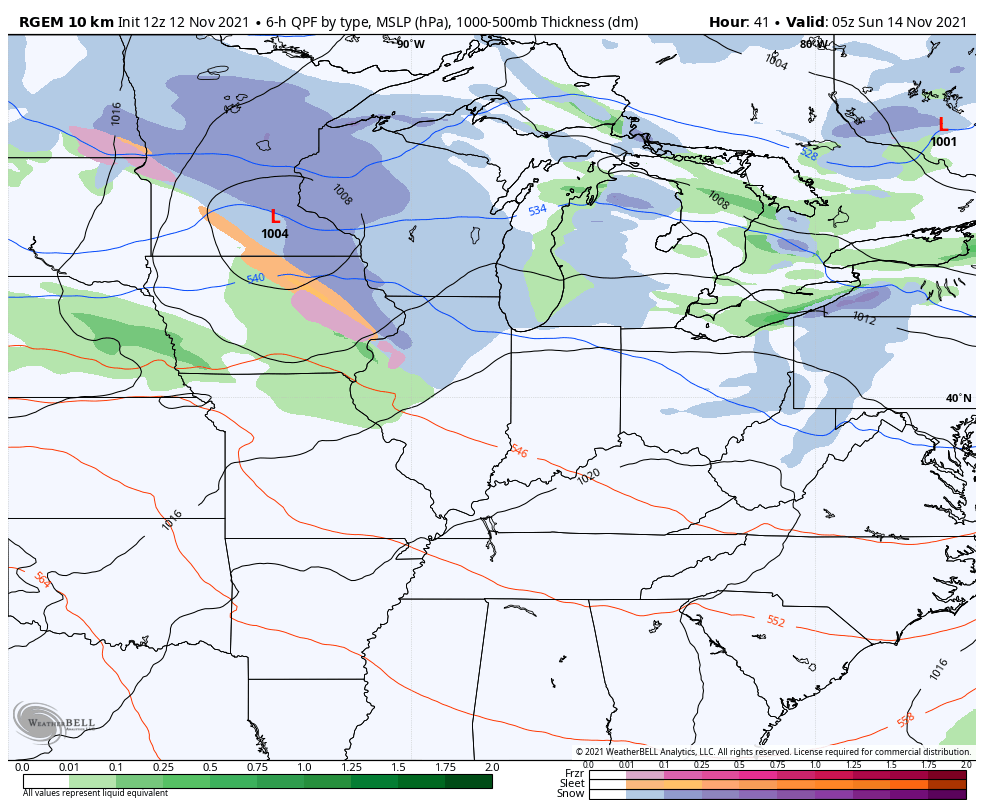
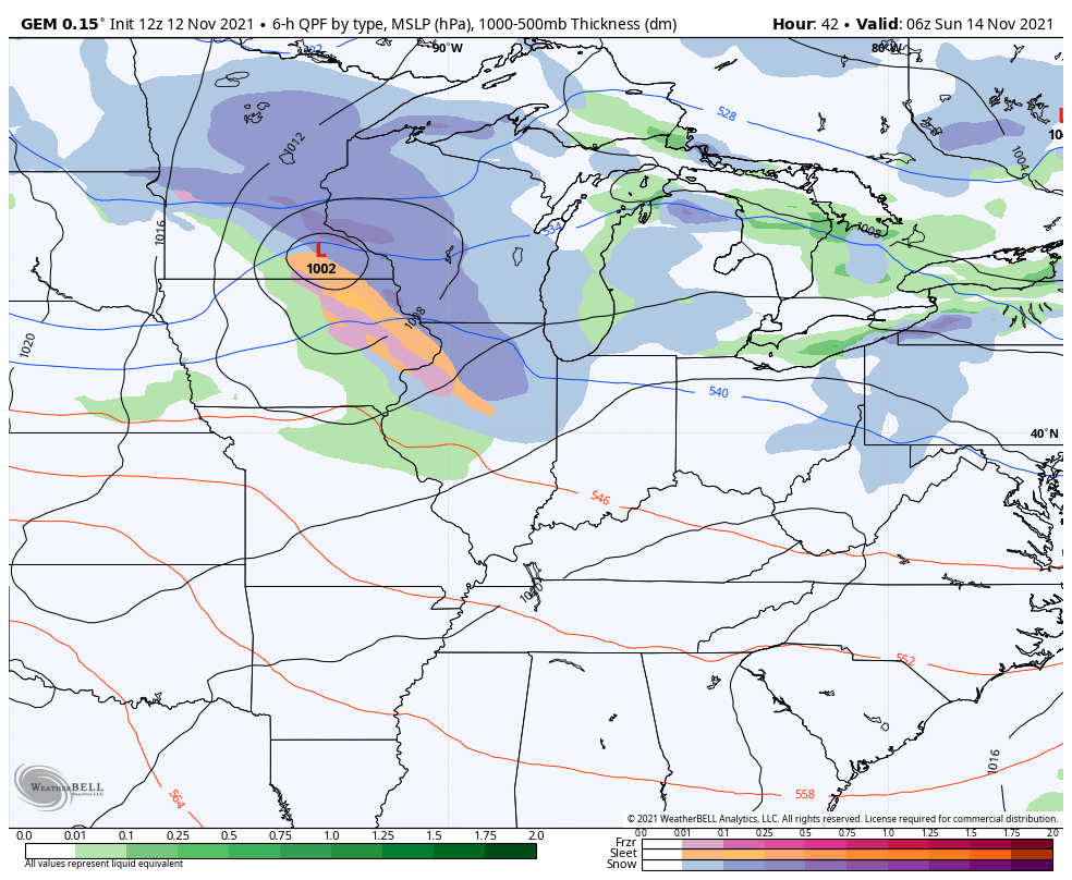
- A clipper rolls into the Ohio Valley Sunday and brings a swath of light rain and light snow with it. The best chance for a band of actual light snow will be across northern Kentucky and there’s a chance for a rooftop coating for some.
- As that system moves to our east, northwest winds could stir up some flurries or a snow shower across the eastern half of the state Sunday night and Monday.
- Monday is a cold and windy day with temps ranging from the upper 30s to middle 40s across the state. Wind chills will be much colder.
As far as the models are concerned, they have generally come together on the scenario we’ve been talking about for a while now. Here’s the future radar from the Hi Res NAM…
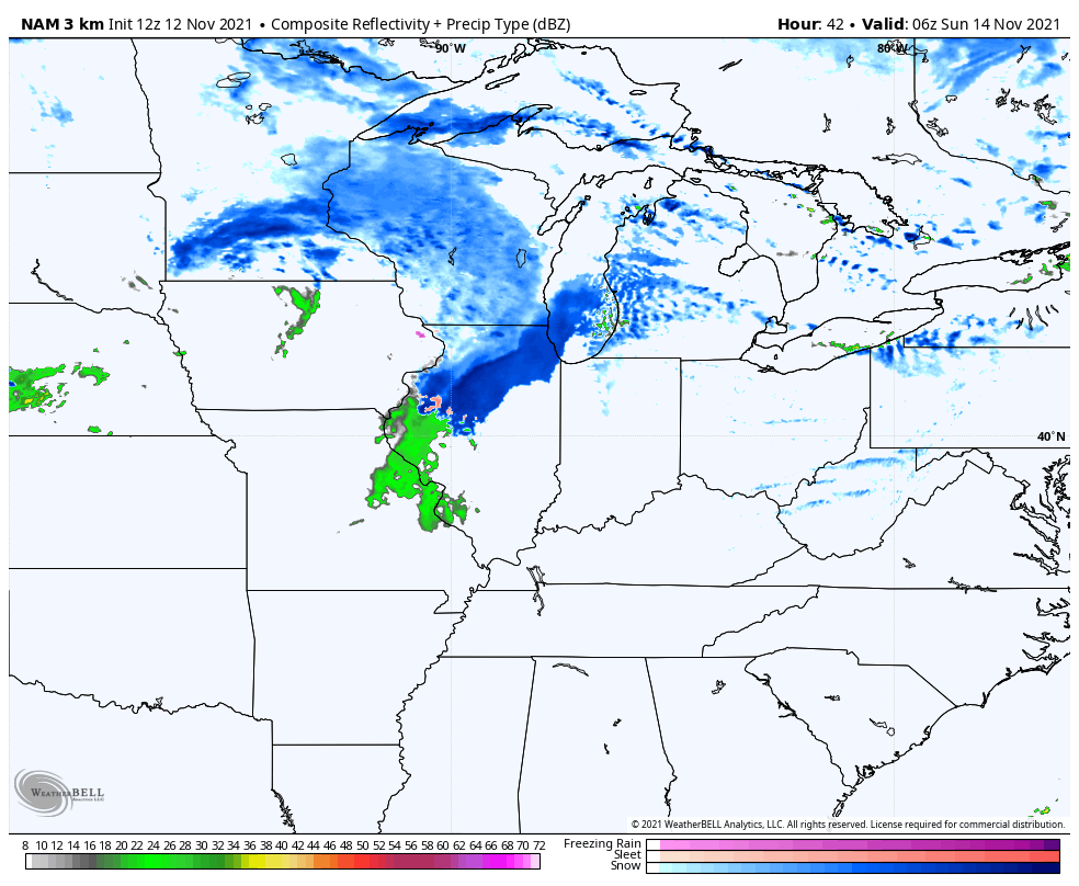
NAM
Short Range Canadian
Canadian
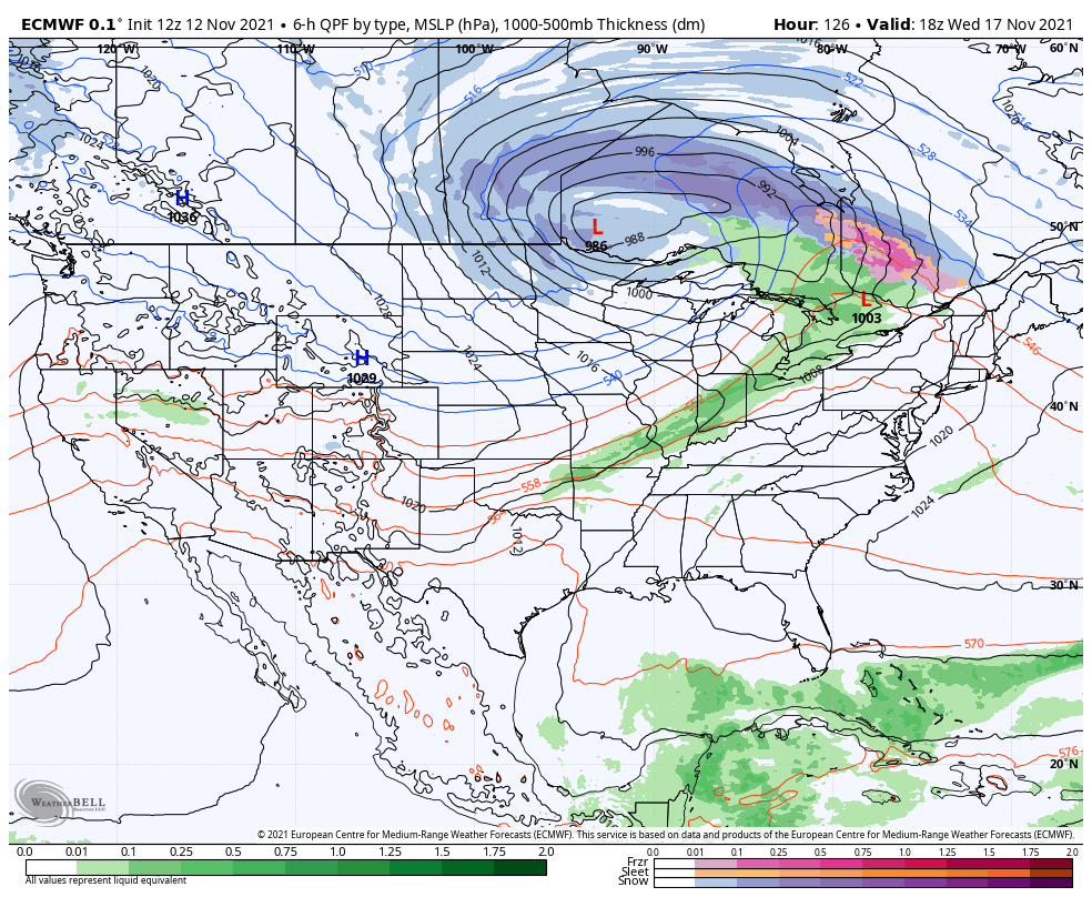
EURO

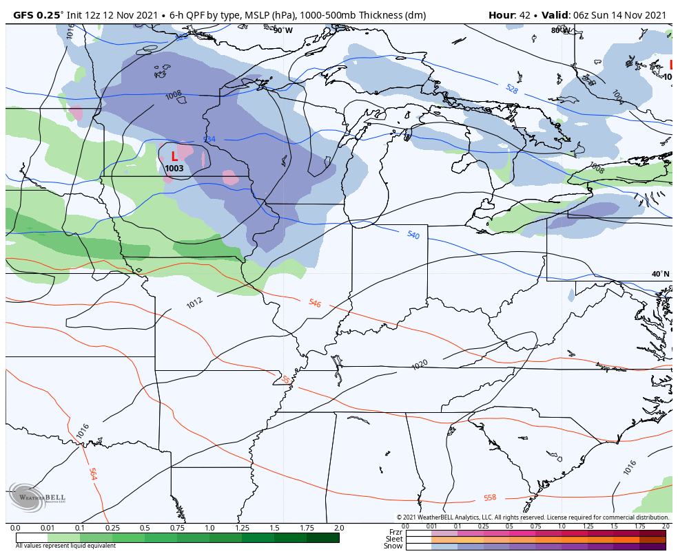
GFS
Here’s the Hi Res NAM temp forecast from 7am Saturday through 7pm Sunday…
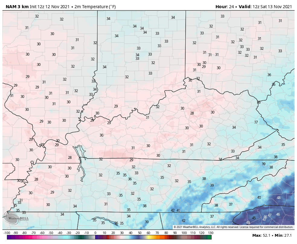
Obviously, wind chills will make it feel much colder.
Temps jump up on Tuesday and Wednesday, but the pattern isn’t going to let those numbers stay up very long. Watch how a cold front drops in here late Wednesday and Thursday and brings much colder air back in. That sets the stage for a much bigger push of cold next weekend…
The EURO is showing true arctic air diving into the country next weekend and that could make for a frigid Thanksgiving week…
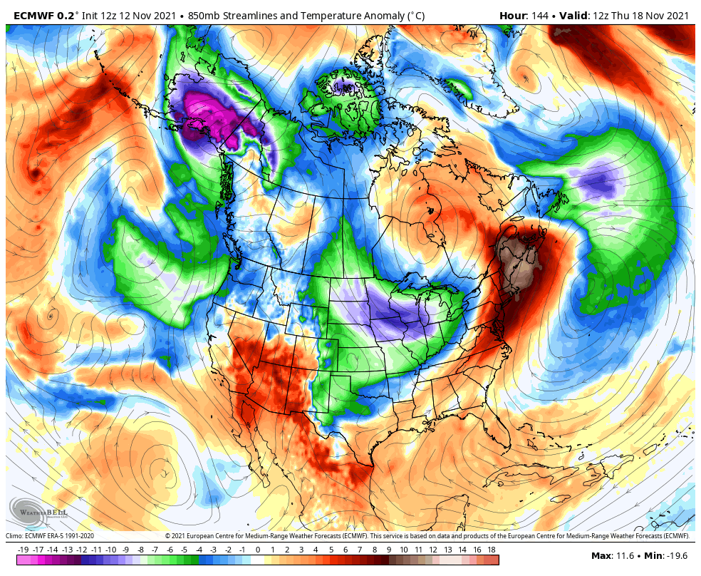
That’s a heck of a look and it’s exactly what the EURO Ensembles have been showing for a while.
I will have another update late today, so check back. I leave you with your radars to track the increasing showers…

Make it a great day and take care.
