Good evening, folks. I wanted to drop by for a quick update on the weekend weather and how we have a couple chances for flakes. The Sunday chance continues to look like the best chance and the odds are increasing.
Let’s start with the first push of cold air out there this evening. This is being introduced by a band of showers dropping through the region…

A few flakes may mix in with this tonight and early Saturday, especially in central and eastern Kentucky.
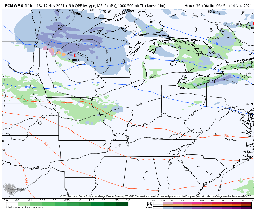
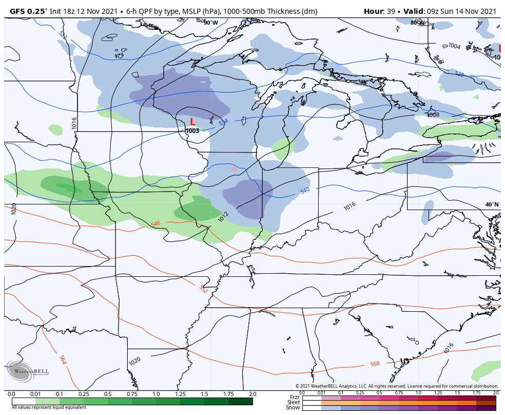
The Sunday system is likely to bring some light rain and light snow to our region. Here’s the area that has the best chance of seeing some light snow or a mix…
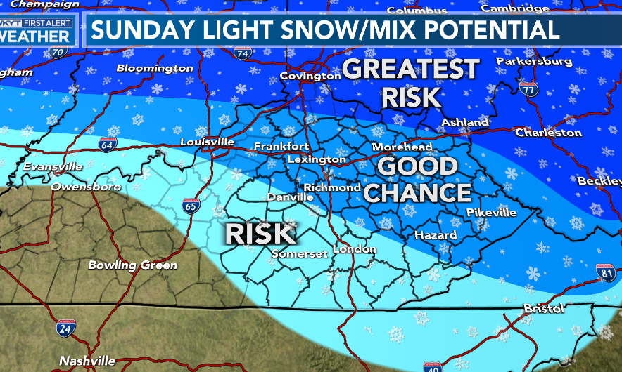
No, I’m not talking about accumulations, I’m just pointing to seeing some flakes falling.
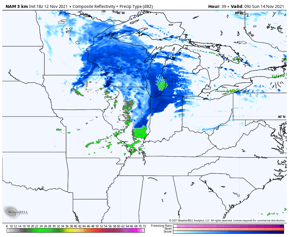
The future radar from the Hi Res NAM shows quite a bit of blue…
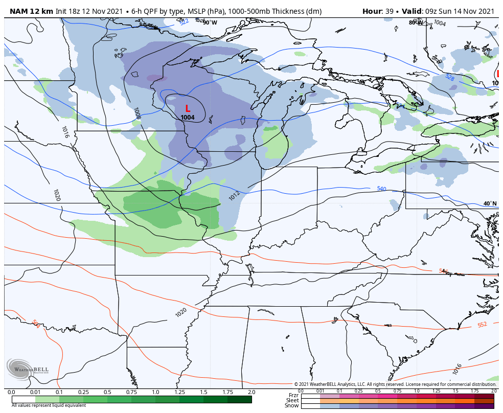
Here’s the regular NAM…
Short Range Canadian
EURO
GFS
The long range continues to look like the arctic dam may break and I will go more in depth on that with my late night update. Enjoy the rest of the evening and take care.
