Good afternoon, folks. It’s a blustery and cold November day across the Commonwealth as we get set for touch of winter weather on Sunday. The models are settling in on the scenario highlighted here on KWC for roughly a week now, so confidence is increasing for some light snow.
Here are some highlights of what to expect:
- A period of light snow and light rain moves into the region late tonight and early Sunday.
- The best chance for light snow is across the northern half of the state as this is where the deepest moisture will be.
- Temps are marginal for any sticking snow, but some light accumulations can’t be ruled out on grassy and elevated surfaces. We will have to watch for a stripe of light snow that can overachieve somewhere in the far north.
- Temps climb by Sunday afternoon with mainly some light showers or sprinkles around.
- Northwest winds then kick in with a few flurries or a snow shower Sunday night and Monday morning across the eastern half of the state.
- Winds will be rather gusty and wind chills by Monday morning reach the upper teens at times in some areas.
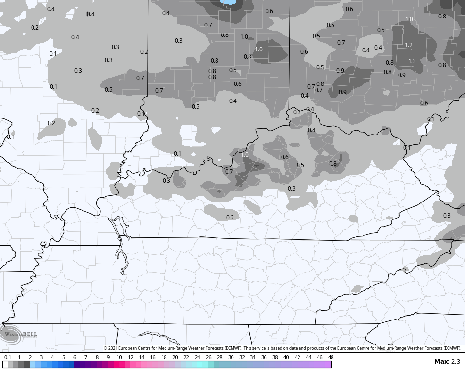
As far as the latest models go, we find the EURO being the farthest south with the light snow potential…
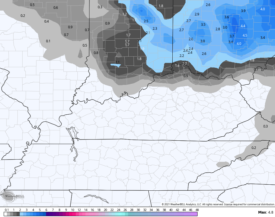
The Hi Res NAM has a heavier concentration of snow impacting the far north…

The NAM has a similar thought process…

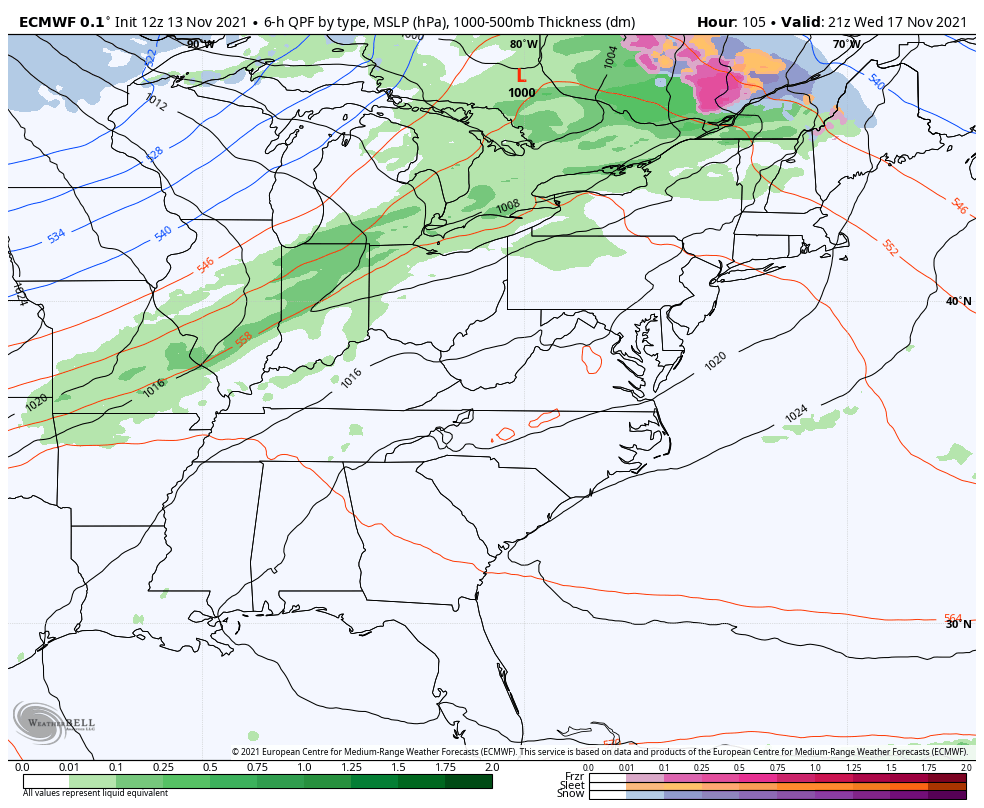
If you recall my rants about the GFS over the past week, I highlighted how the model bias is to be too progressive and too far north with these systems. The GFS literally had no precipitation anywhere in Kentucky. As we get closer, the model sheds that bias and plays a game of catch up. The new run now matches the other models in bringing the chance for light accumulations into northern Kentucky…
Temps moderate very quickly behind this for Tuesday and Wednesday ahead of our next front moving in here by Thursday. The models continue to go back and forth on just how fast the cold comes in behind this. The EURO had been showing rain ending as snow, but the latest run says the cold doesn’t catch up in time…
The Canadian model has the cold catching up and ending this as some wet snow…
I will have another update this evening, so check back. Until then, here are your radars to track any stray rain or snow shower action…

Make it a great day and take care.
