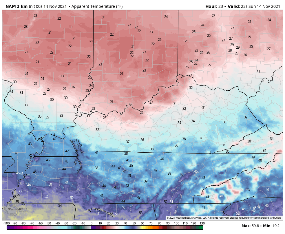
Good Sunday to one and all. A weak system is rolling across the region bringing some light rain and light snow. The light snows are mainly impact northern Kentucky and may even fall hard enough for a little slush to accumulate for the first time this season.
I really have no changes to the ideas I’ve had for the better part of a week and that’s for the best light snow chance to be across the north. It may briefly snow just hard enough for some very light accumulations on the grass or elevated surfaces early today. Here’s the area with the best chance at seeing a touch of slush…

In the overall scheme of things, this isn’t a big deal outside of being the first chance for some light snows for some folks. ❄️☃️
Much colder air sweeps in here behind this system this evening through Monday and that northwest wind could crank up some flurries or light snow showers in the north and east. That wind will also make it feel MUCH colder. Check out the wind chill forecast from 6pm today through Noon Monday…
Milder air quickly pushes in here Tuesday and Wednesday ahead of the next system moving in late Wednesday and Thursday. The models, shockingly, handle this system a little different from run to run. The Canadian tries to bring the cold air in to catch the back edge of the rain shield and then produces some snow showers and flurries behind it on Friday…
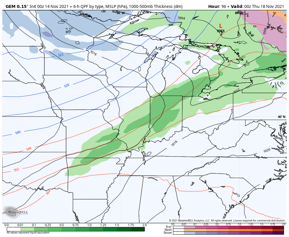
The GFS continues to be the most progressive with this front…
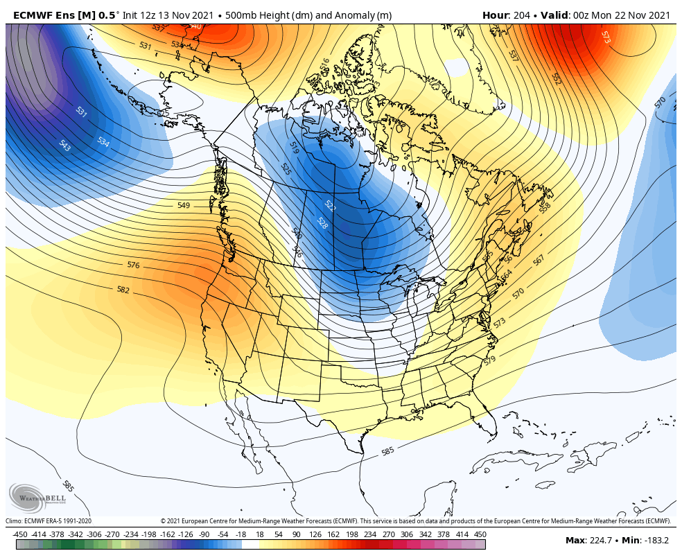
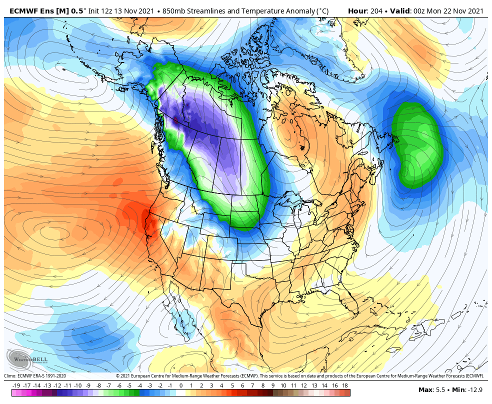
As we continue to look into Thanksgiving week, we find the EURO continuing to show an arctic blast invading the country…
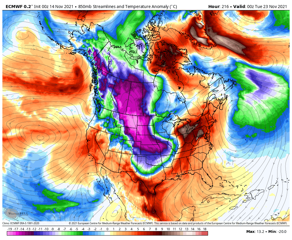
The EURO Ensembles still have a very cold look, but not quite as cold as recent runs…
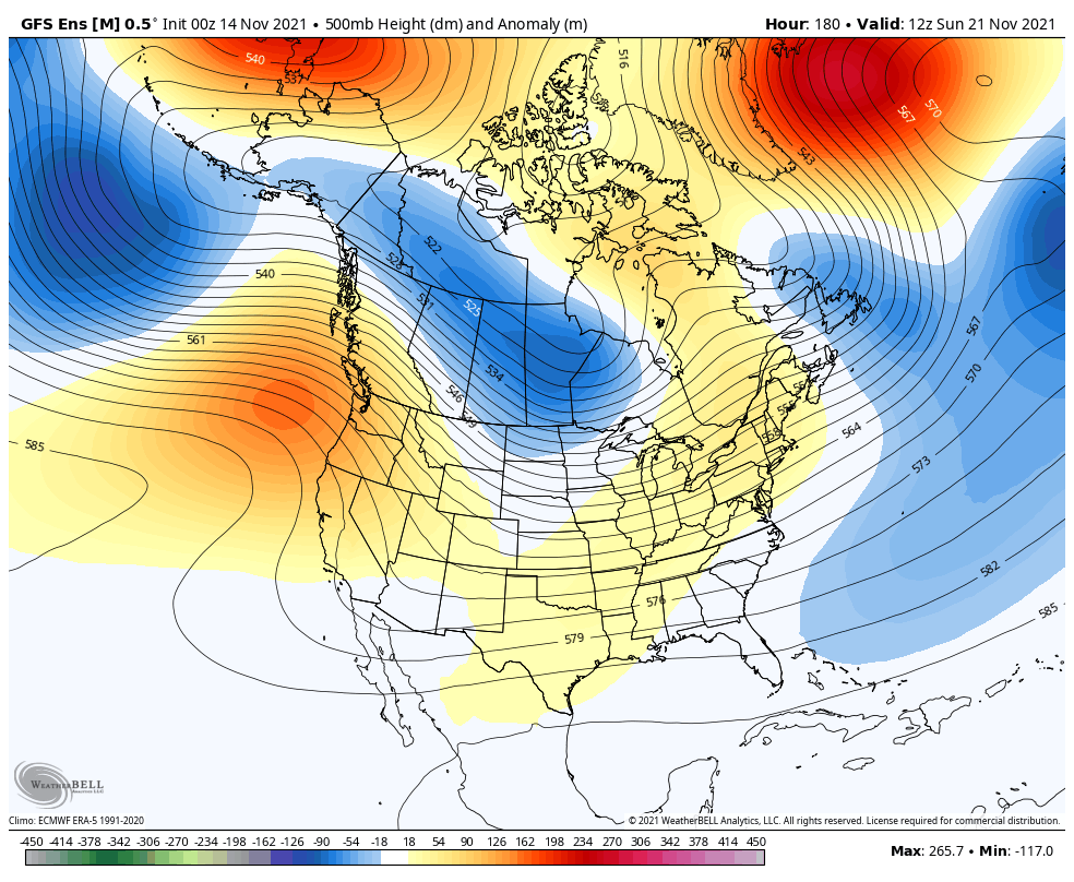
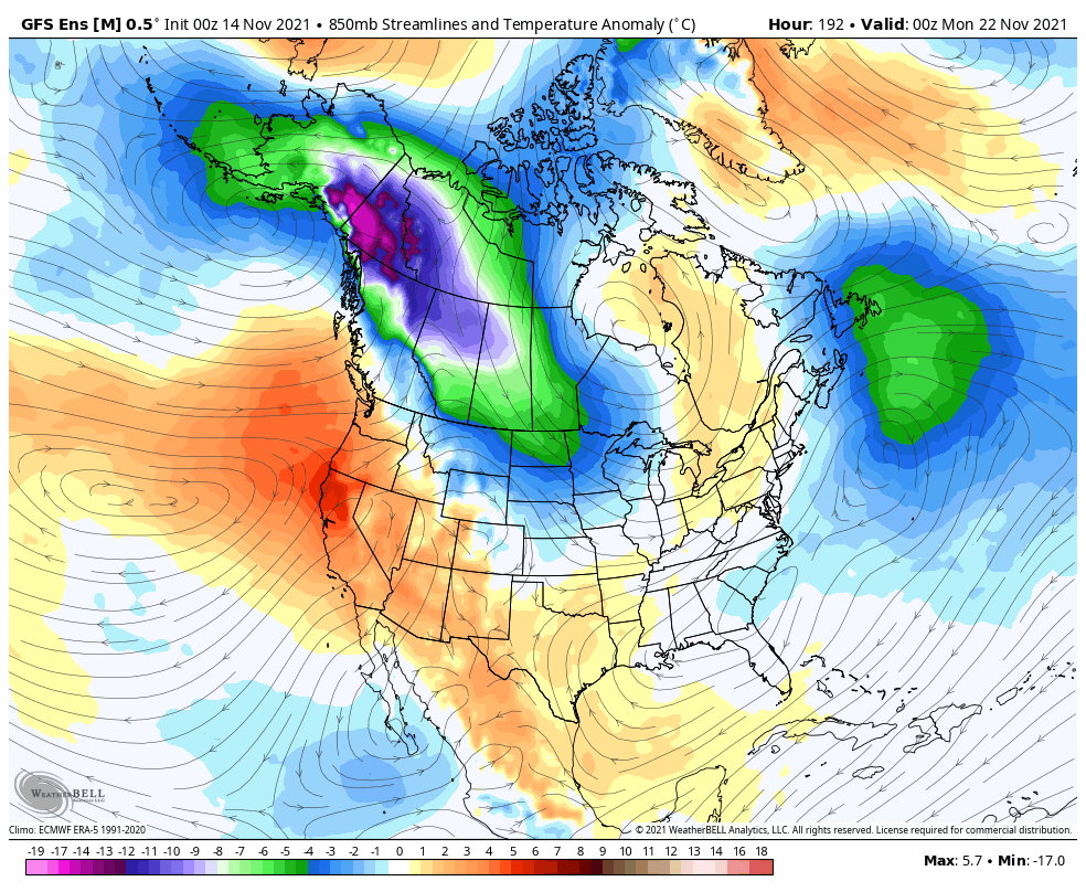
The other ensembles are trending in that direction. Here’s the GFS…
Could Thanksgiving week also produce a big storm system ahead of one of those cold shots? Guess we shall see.
I will have another update later today. Until then, here are your Sunday flake tracking tools…

Have a great Sunday and take care.
