Good afternoon, weather weenies. It’s a cold day in the bluegrass state, but our temps are about to spike before they drop again later this week. All of this is setting the stage for what’s likely to be a cold Thanksgiving week across our part of the world.
The leading edge of milder air is kicking in just to our west and there’s a little overrunning light rain and snow shower action showing up ahead if it. This will move across northern Kentucky through the wee hours of Tuesday morning. Your radars show this well…

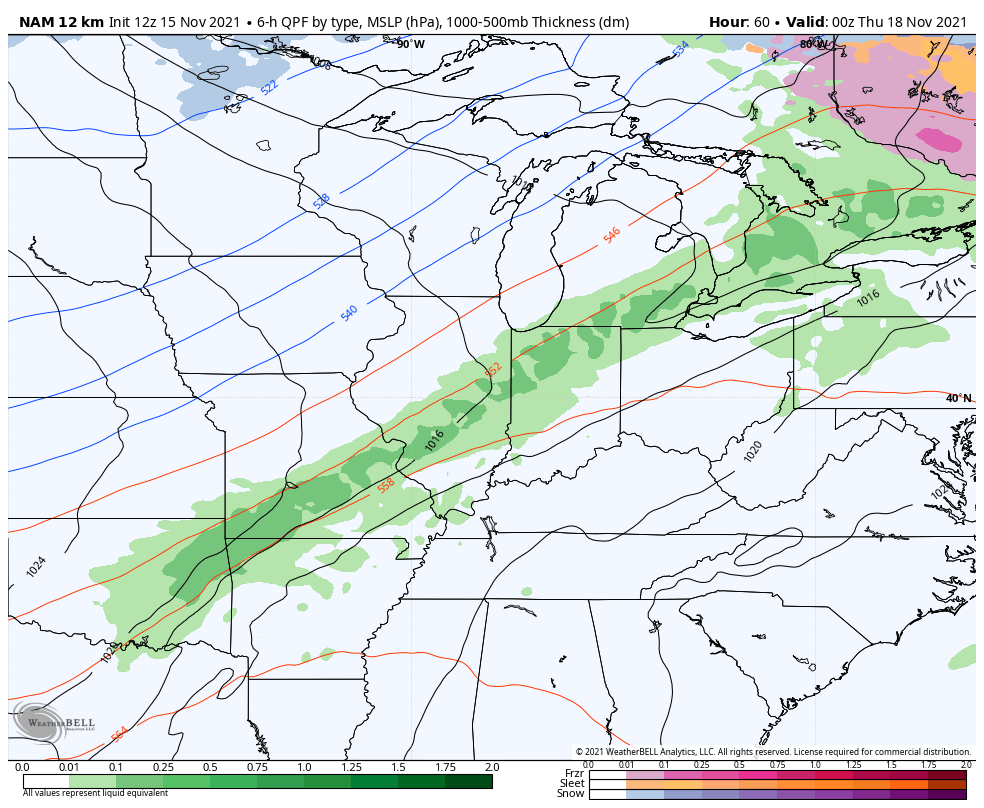
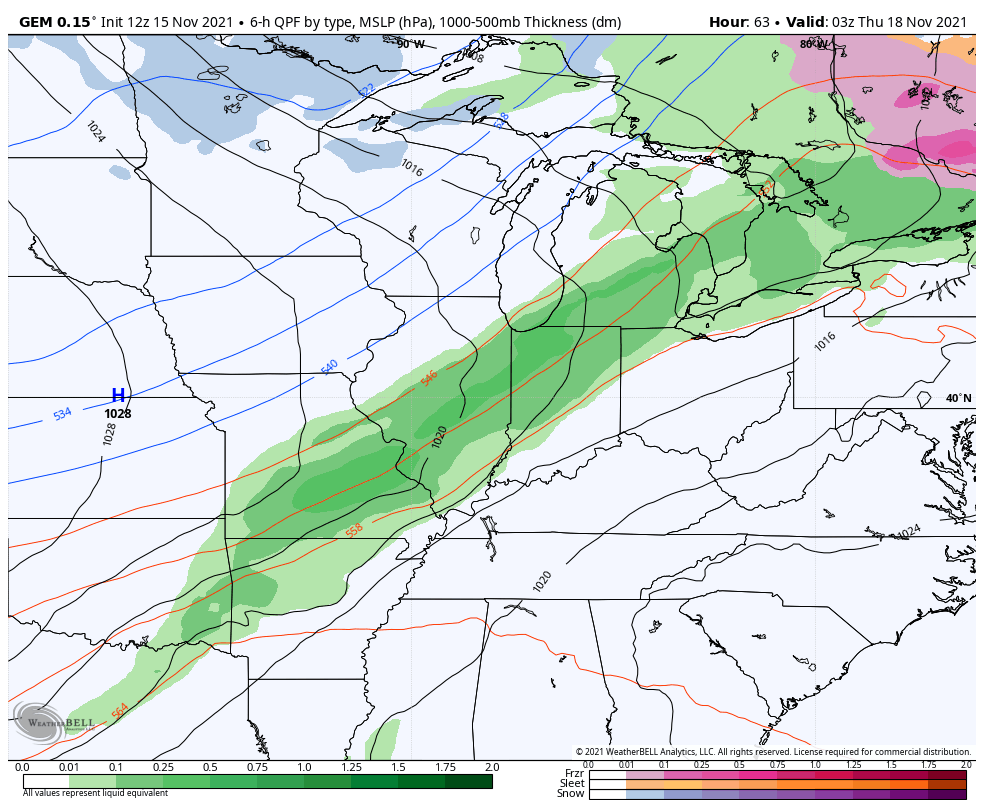
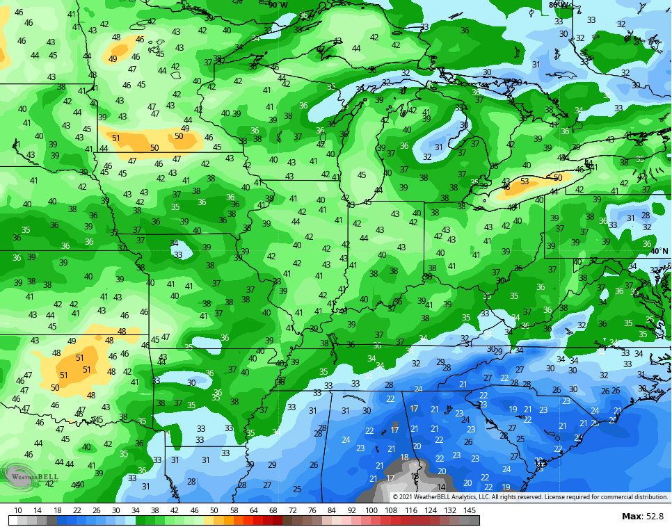
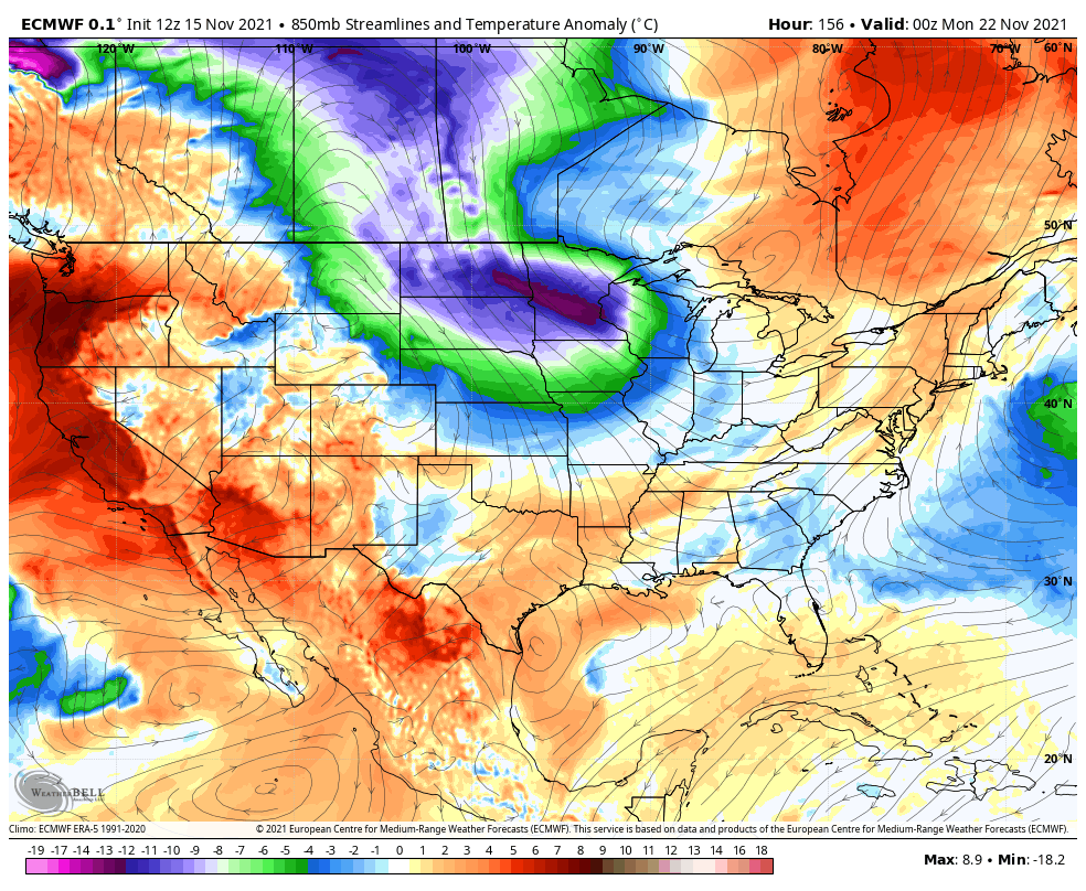
Temps spike toward the 60s for the next few days on a strong southwest wind. That wind is ahead of a strong cold front blasting through here on Thursday. This is mainly a gusty rain maker, but a few flakes may try to mix in on the backside of the rain…
NAM
CANADIAN
EURO
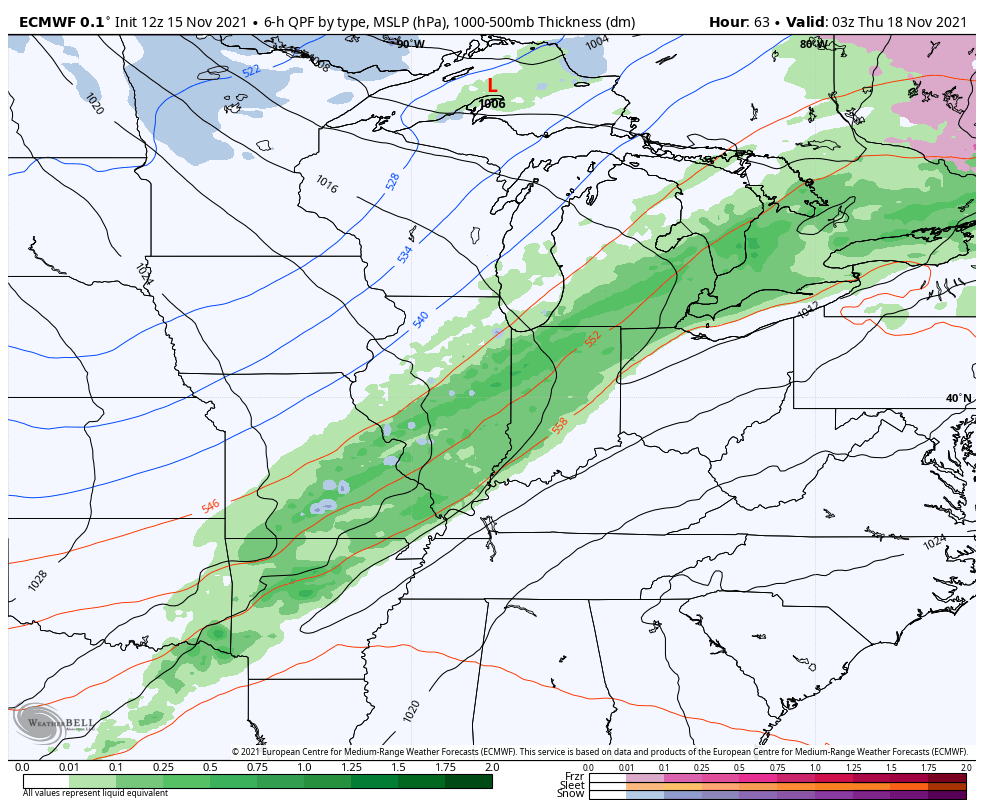
Winds are a big player with this system and gusts may approach 40mph…
Temps crash behind that front Thursday and into Friday before rebounding a bit over the weekend. That rebound is ahead of the next system dropping in here by Sunday and Monday. This one kicks off Thanksgiving week and we are likely to see wild model swings in the coming days as they try to figure out how everything shakes out.
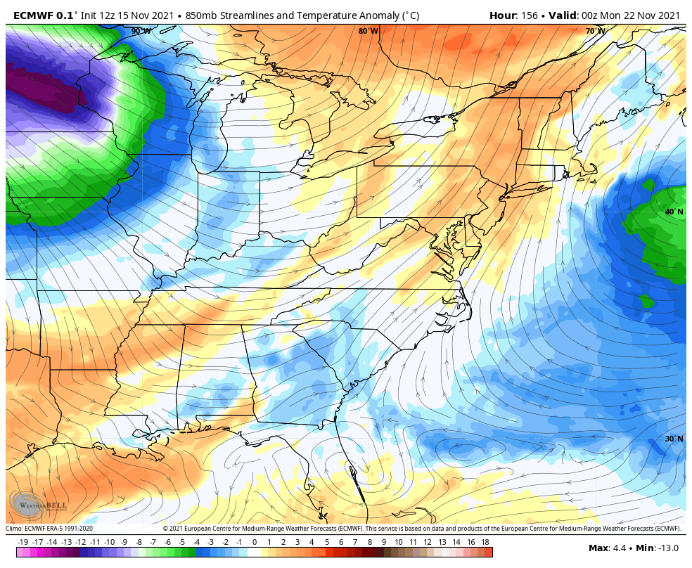
The EURO has a potent setup…
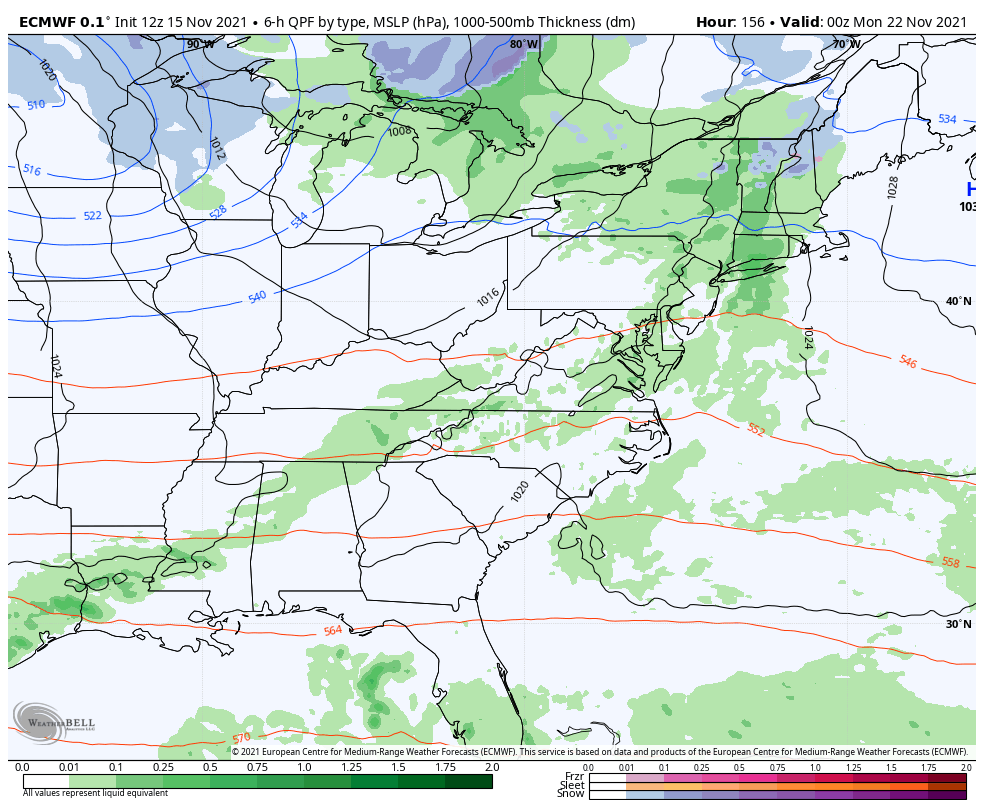
That’s one to keep an eye on for some winter weather around here. Check out the cold surging in behind it…
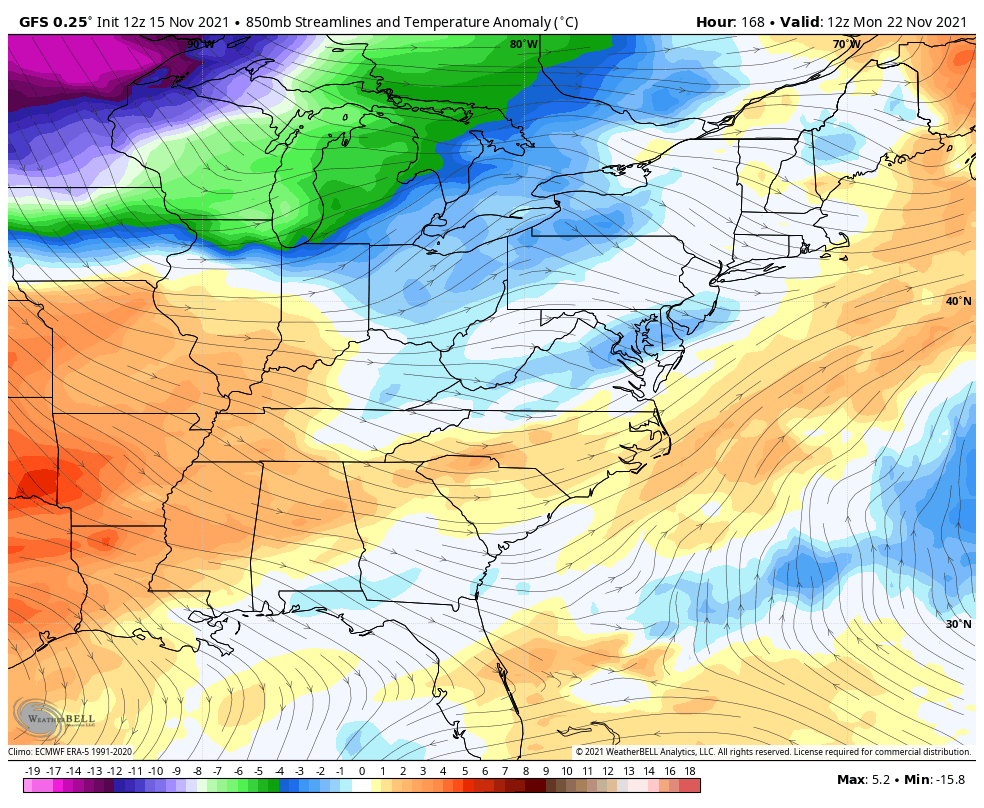
The progressive bias of the GFS is alive and well, but it has a similar idea to what the EURO has…
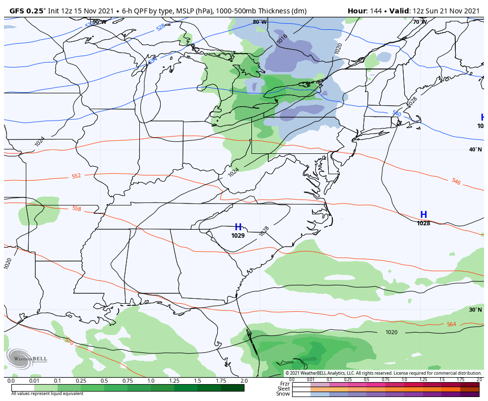
Remember, with the GFS, you have to slow everything down and make troughs deeper and farther west. Still, it’s not like the model isn’t seeing the potential for big time cold behind that system…
There’s another big push of cold likely to show up a few days later into the Thanksgiving travel period. Here’s the EURO…
Last night, I showed how the EURO Ensembles were connecting the Greenland Ridge and the Ridge up the west coast of North America. The operational EURO is showing this around Thanksgiving…
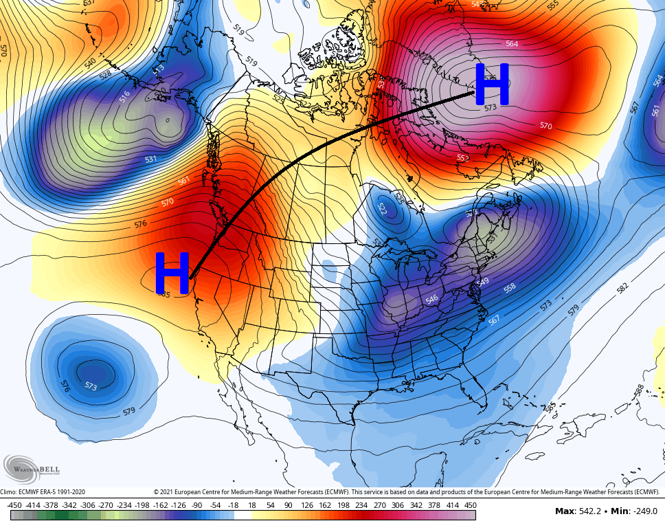
That’s a massive -NAO setting up and that’s one that tries to lock in for a while. Again, that’s a very cold and wintry setup across the eastern half of the country if it verifies.
I may throw you an update this evening, so check back. Have a good one and take care.
