Good afternoon, folks. It’s a much colder day across the region as a cold front continues to push to our east, taking the rain with it. The cold we’re seeing now is the opening act to a big time cold shot set to kick off a cold Thanksgiving week.
I’ve got the winter forecast on WKYT at 6 and then it should be available online after that, so this post is rather brief and to the point.
Let’s start things out with tracking the rain away from us. Your radars are hard at work…

Cold air comes in behind this tonight and Friday with temps in the 20s to start and 40-45 to end.
Saturday looks great, but Sunday is a wet day as we get set for the coldest air of the season to dive in here for Monday and Tuesday.
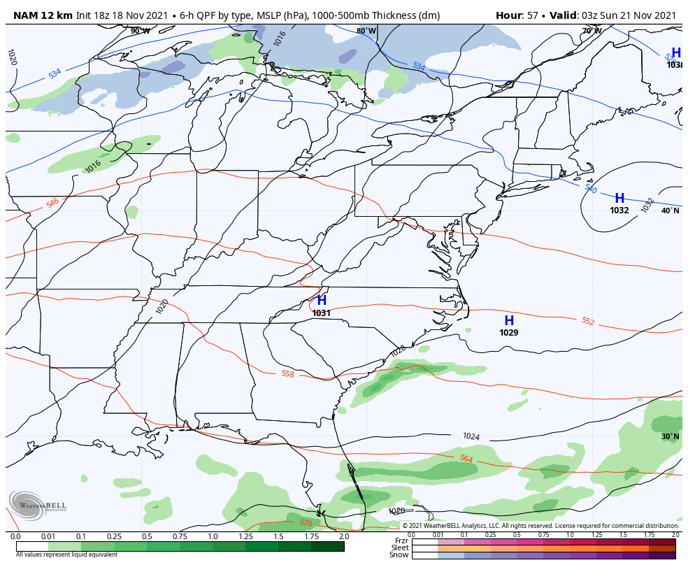
The new NAM only goes through 1am Monday, but you can see how it tries to throw a few flakes in here as the cold crashes in…
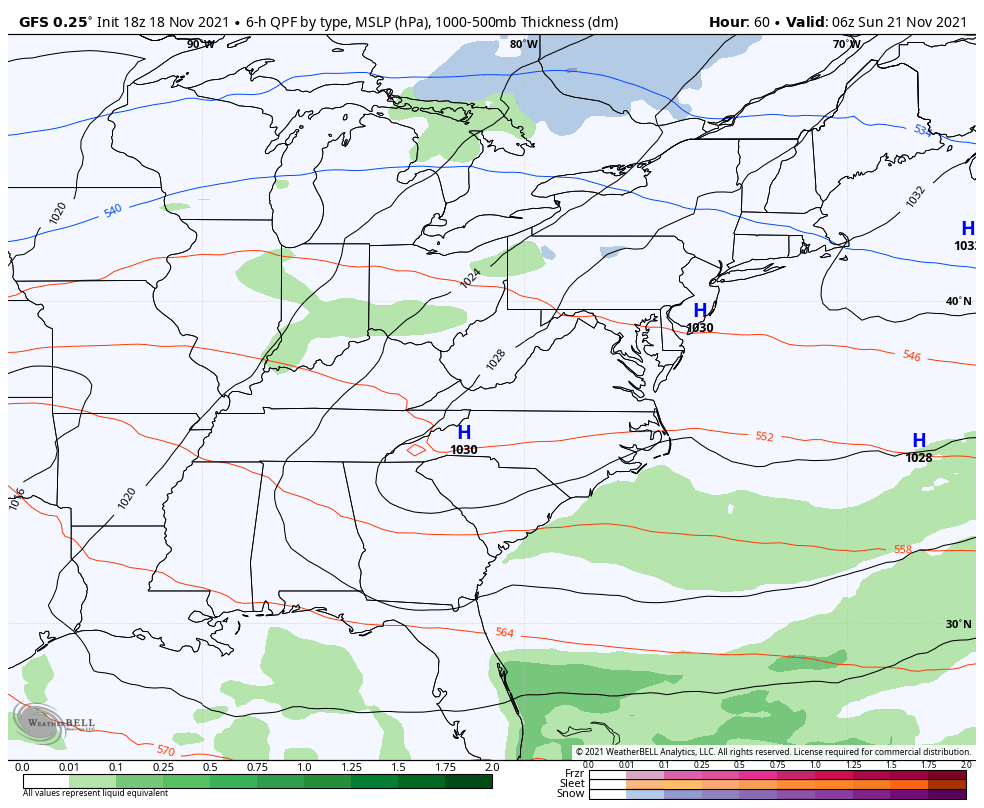
The GFS continues to give us the flake chance, but the depth of the system changes just a bit from run to run…
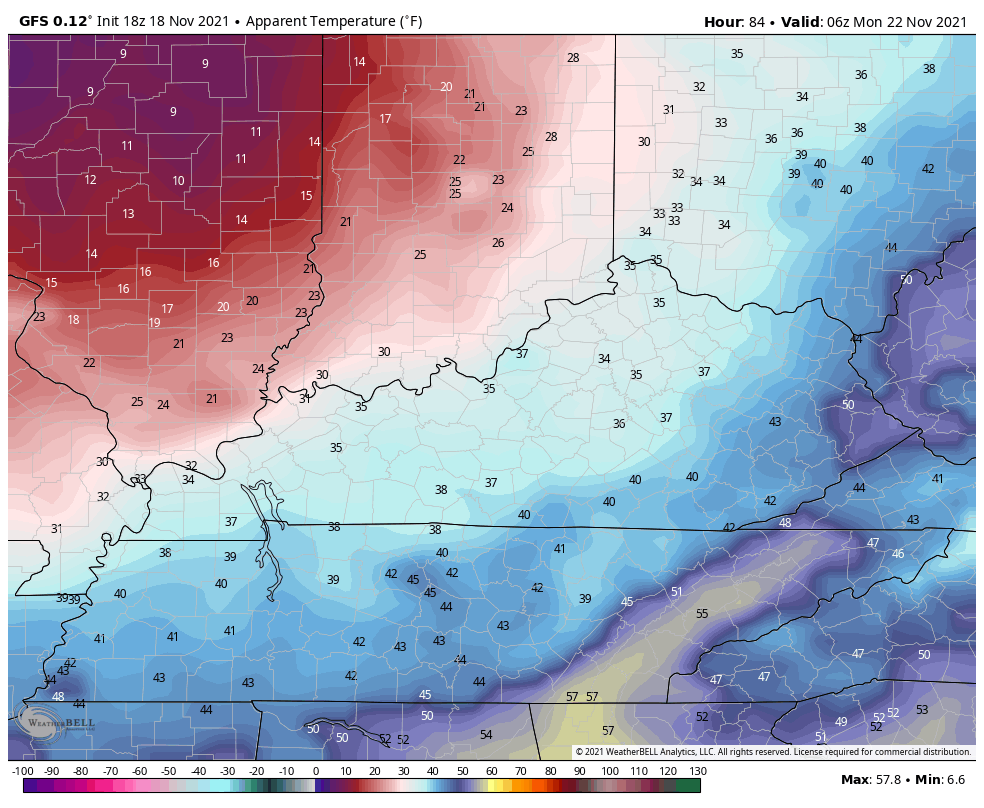
The air behind this is super cold and wind chills are going to be way down there. This animation goes from 11pm Sunday through 7am Tuesday…
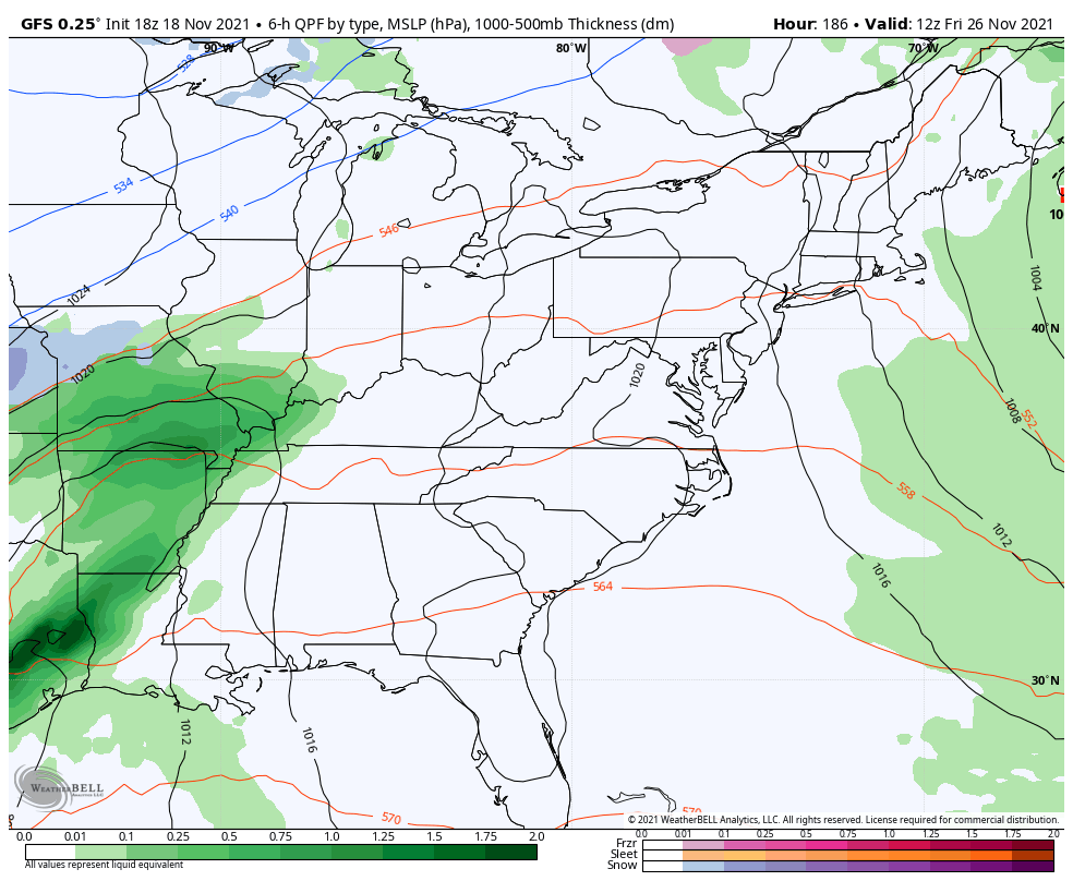
As we look ahead toward the end of the week system continues to be absolutely all over the place.
This is the run from the GFS earlier today…
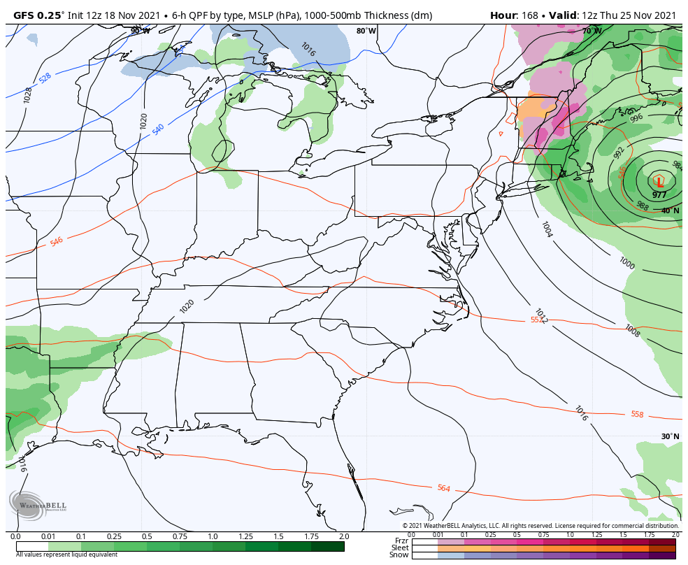
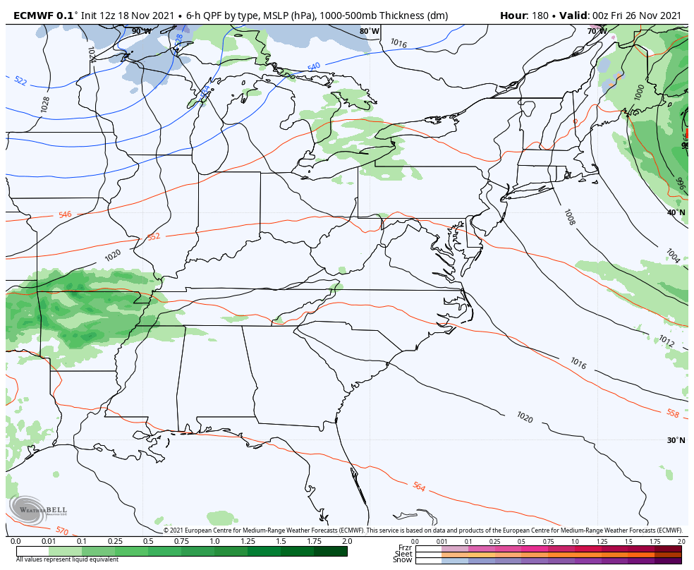
The new run shows a totally different solution…
The EURO plays into its bias of leaving energy back in the southwest. The latest run brings a strong cold front in here and then brings a storm system from the southwest a few days later…
I will see y’all later tonight for the full update. Have a good one and take care.

It should be great viewing for the partial lunar eclipse early Friday morning with clear skies and cold conditions.
Here in the Chicago area, 97 percent of the moon will be covered.