Good evening, everyone. We have a sunny and seasonably cold day across the Commonwealth as we gear up for a half and half weekend. From there, the focus is on a frigid start to Thanksgiving week and the potential for a late week storm system.
Saturday continues to look like a really nice day with clouds increasing and temps closer to normal. The increase in clouds is ahead of our cold front moving in late Sunday. Ahead of it will be a band of gusty rains. Behind it will be crashing temps and the coldest air of the season into Monday and Tuesday…
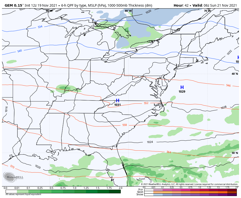
The cold air has been well advertised for a while, so we shall let that be that.
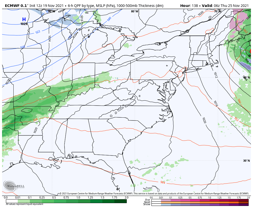
The late week setup continues to be a mess on the models and every single run looks drastically different from the run before it. That’s because the models are having a super tough time trying to figure out how to handle the trough diving into the Rockies and plains and how it interacts with a cutoff low coming out of the southwest. I warned you guys this would happen.
The EURO is struggling mightily because the bias of the model is that it simply cannot handle energy coming from the southwest. Talk about a disjointed run…
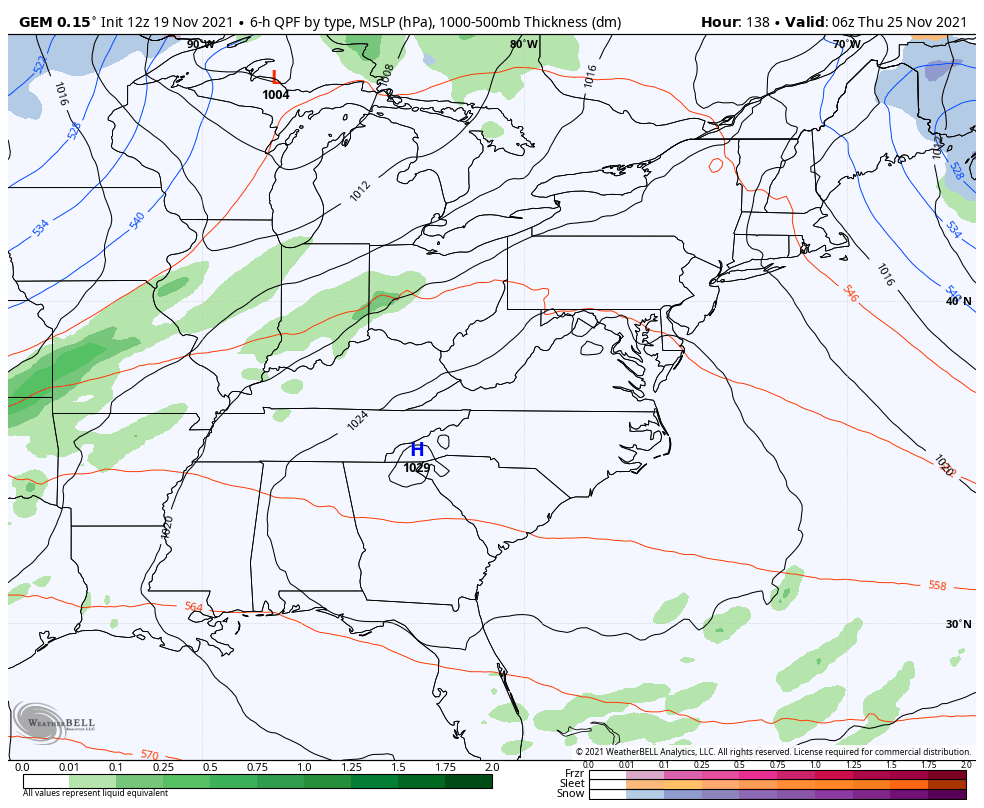
The Canadian is also rather disjointed, but it’s joining the EURO in seeing the cold air coming in…
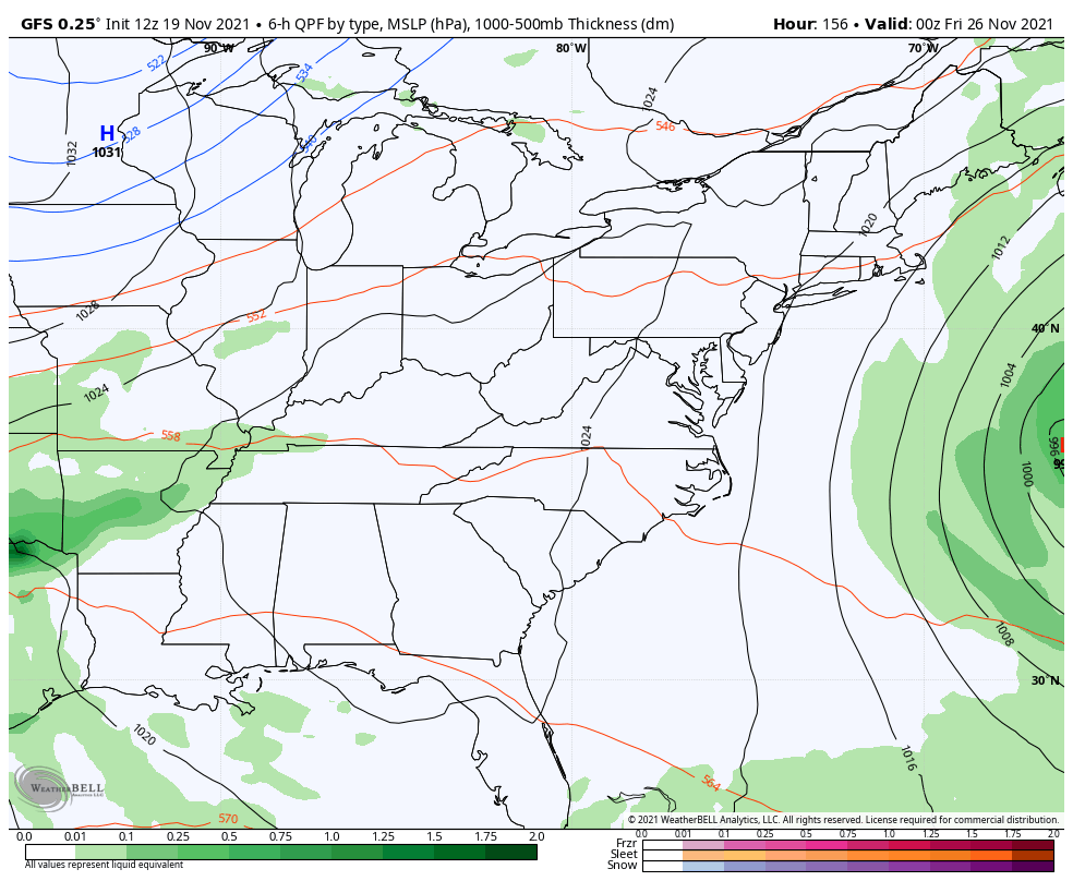
The GFS is also changing wildly from run to run…
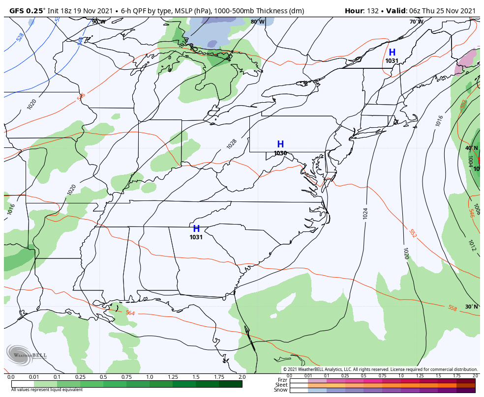
The prior run looked like this…
My thought is we are likely to see a sizeable storm system late next week but track and any impact on our weather will have to be ironed out over the weekend.
Enjoy the rest of your day and take care.

When in doubt go with rain and some insignificant snow near the end of the storm.