Good afternoon, gang, Clouds continue to thicken across the area as we get ready for a cold front to sweep across the state on Sunday. That’s the first of two fronts on tap as we head into Thanksgiving week with the next one looking to show up on Turkey Day.
The Sunday system is likely to produce widespread rain across Kentucky as winds gust up. A few showers may even get into western Kentucky before this evening is over and your radars are scanning the skies looking for some action.…

Much colder air surges in here Sunday night and sets the stage for a windy and cold Monday and Tuesday.
Our busy travel day Wednesday looks dry, but clouds will be increasing ahead of our next system arriving for Thanksgiving. This is a cold front dropping in here and the models are now showing up with a similar scenario. You get the cold front with rain and maybe some flakes behind it Thursday and early Black Friday… and a clipper type system trying to follow that up for the weekend.
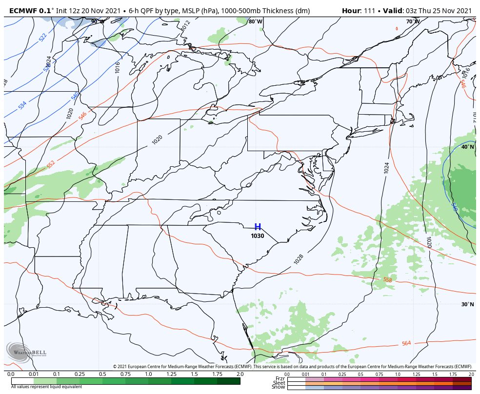
The EURO shows some flake action for Thanksgiving Night…
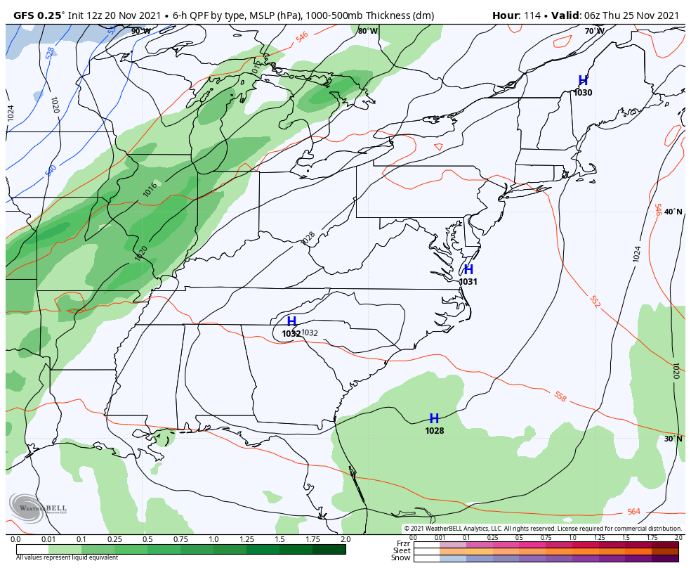
Here’s the GFS with the front and the weak clipper coming behind it…
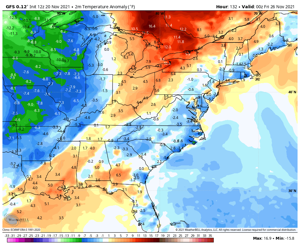
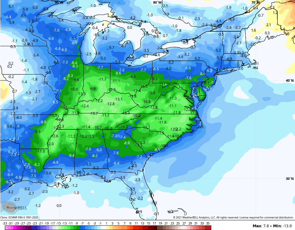
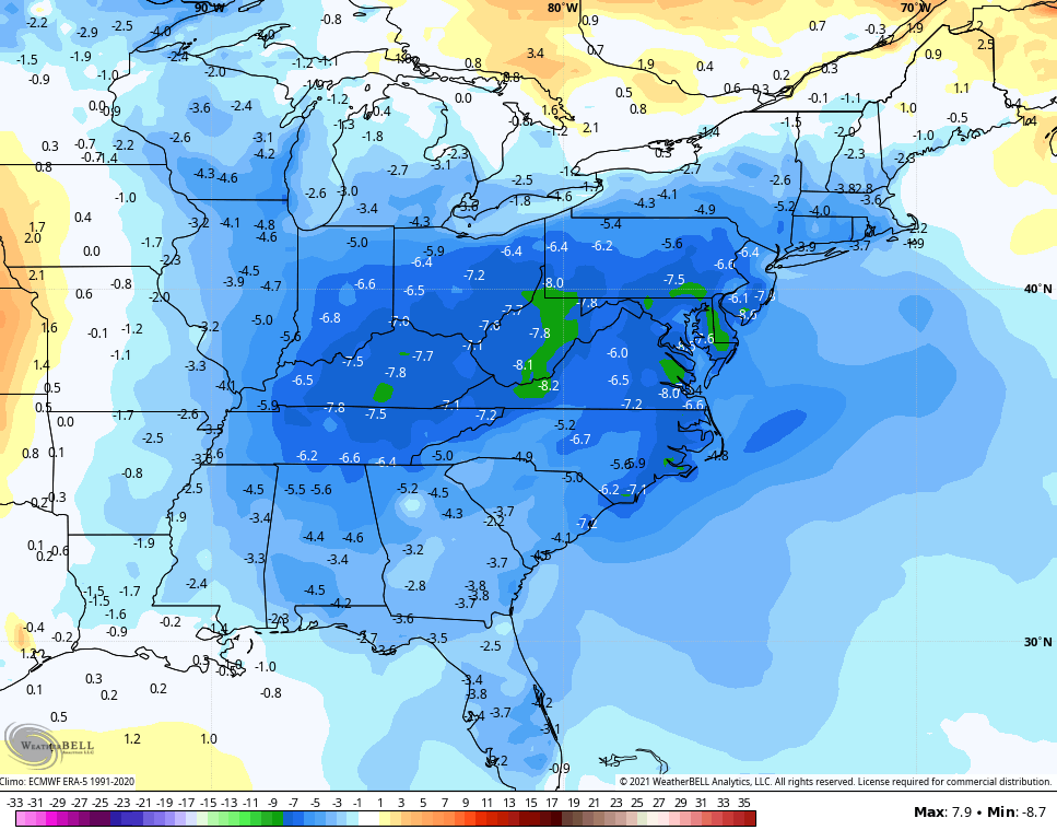
The numbers with this setup are well below normal once again…
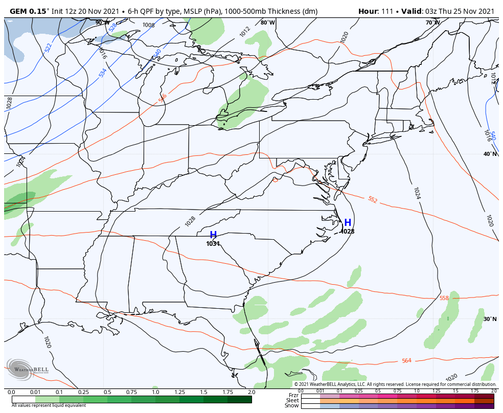
The Canadian has a similar look…
Overall, this is a much colder than normal Thanksgiving week and this has been something talked about here since the start of the month. If we take a look at the 7 day temp departures, we find the models spitting this out…
Canadian
The GFS continues to strongly trend in that direction after totally missing out on much cold in recent days…
Enjoy the rest of your Saturday and take care.
