Good Tuesday to one and all. It’s another colder than normal day out there as we inch closer to our long Thanksgiving travel period. Things start pleasant enough, but a cold front arrives on the big day and changes things around pretty quickly.
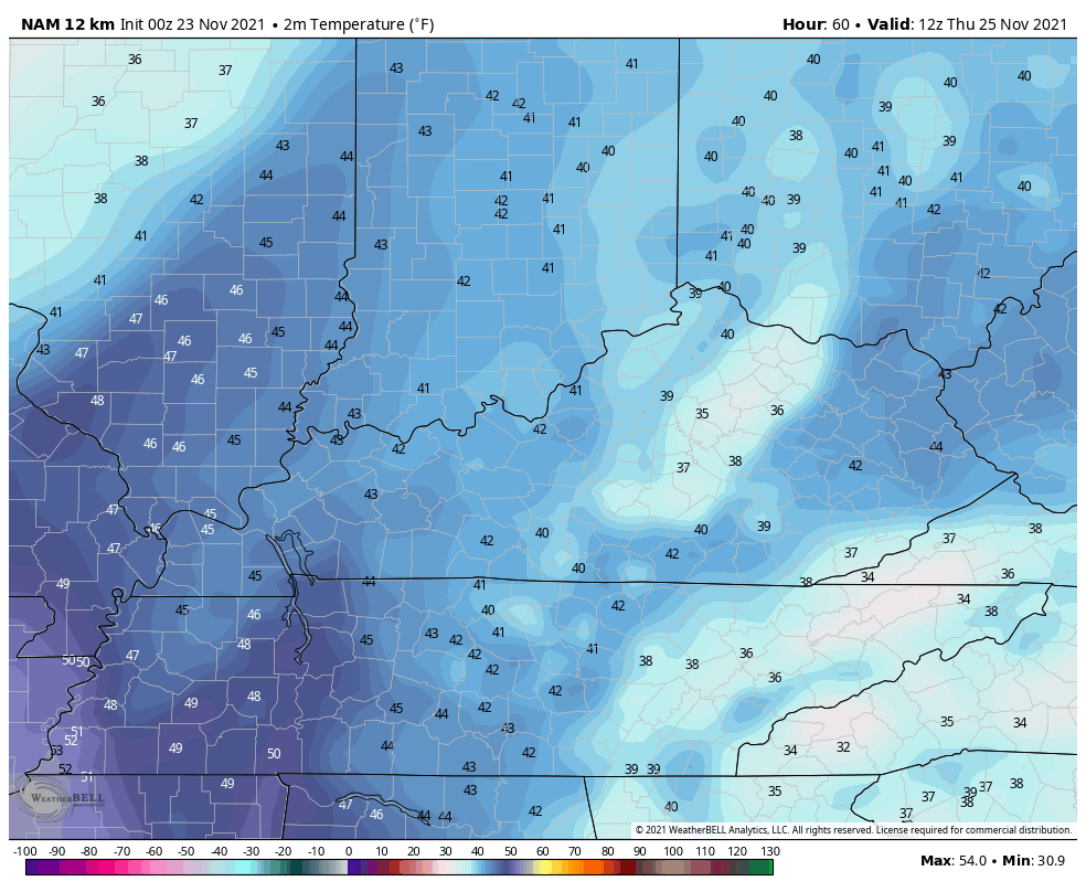
Today starts frigid and ends with temps in the 40-45 degree range for many.
Clouds roll in for Wednesday with temps in the 50s for what is the busiest travel day of the year. It’s also known as Planes, Trains and Automobiles day here on KWC. ✈🚅🚗
Those clouds are ahead of a strong cold front arriving for Thanksgiving Day. A wall of rain will overspread the state from west to east quickly during the day as temps hang in the 40s. As the front moves through, the cold air tries to catch the back edge of the rain shield and give us a few festive flakes Thursday night into Black Friday morning.
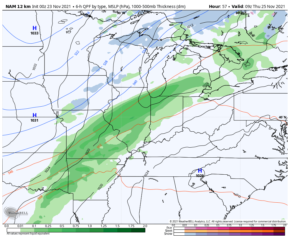
The NAM shows some post frontal Friday morning festive flakes very well…
The Short Range Canadian has a similar look…

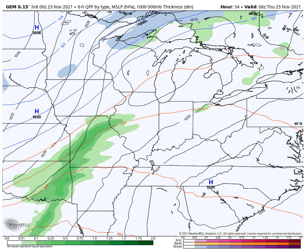
The regular Canadian we look at…
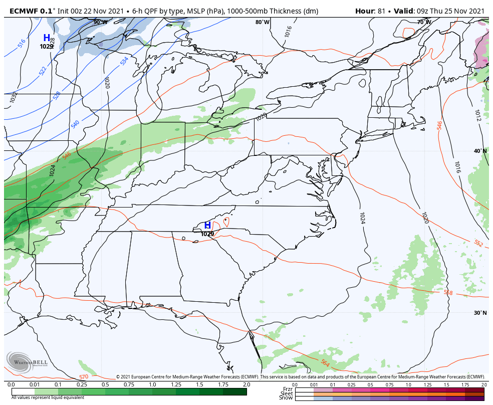
The EURO isn’t a flakey but has some flakes in the east…
The GFS is the odd model out without a single flake anywhere…

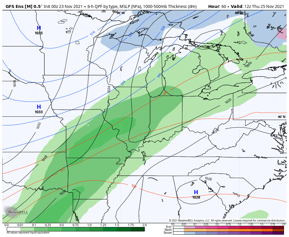
The GFS Ensembles say “not so fast my operational friend”…
Temps for Thanksgiving Day are trending a little colder as we get closer. Here’s the NAM from 7am Thanksgiving through 7am Friday…
The Canadian is just a wee bit colder by Friday morning…

Highs for Friday are in the 30s for another much colder than normal day in the Commonwealth.
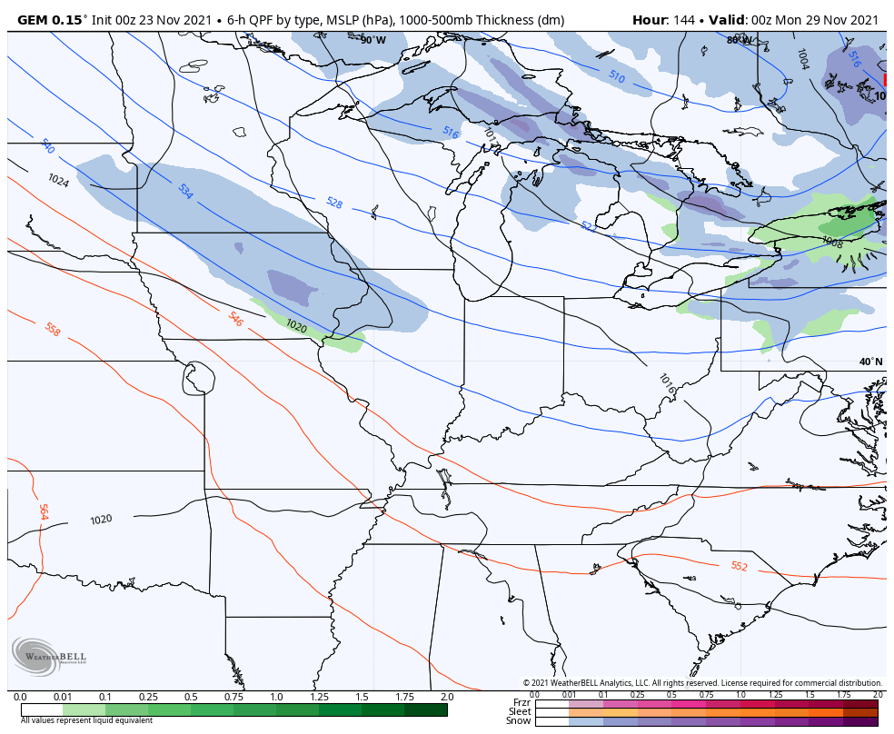
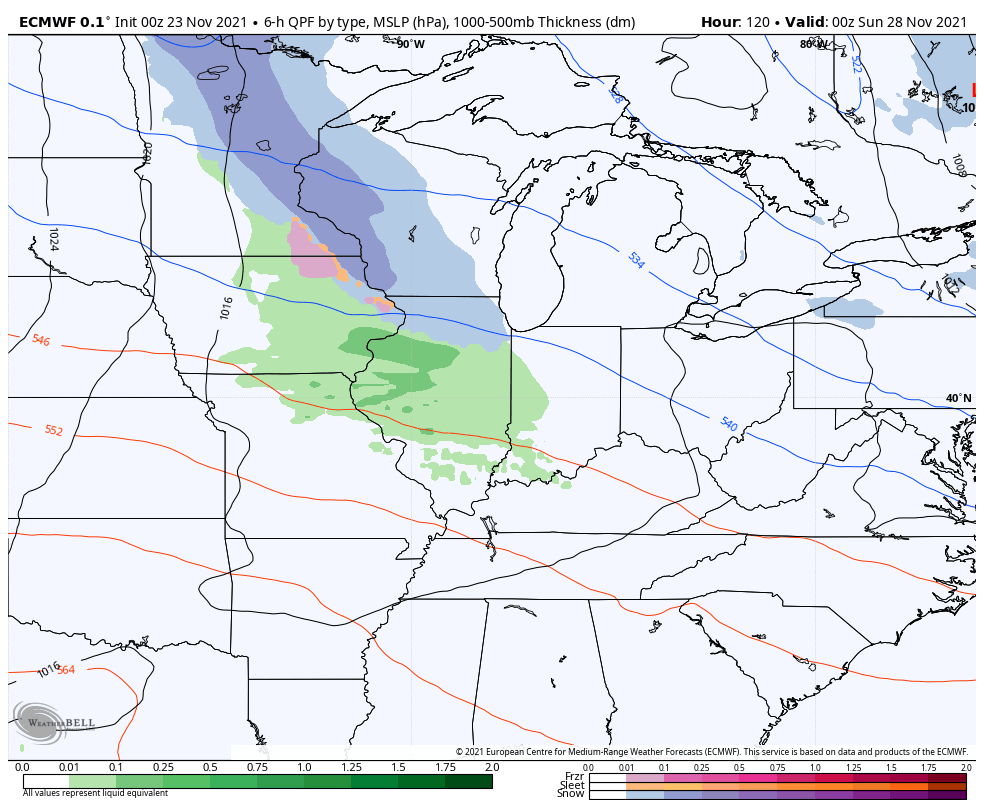
The next system dives in from the northwest late weekend into early next week and may bring some light rain and/or light snow with it.
Here’s the Canadian…
The EURO…
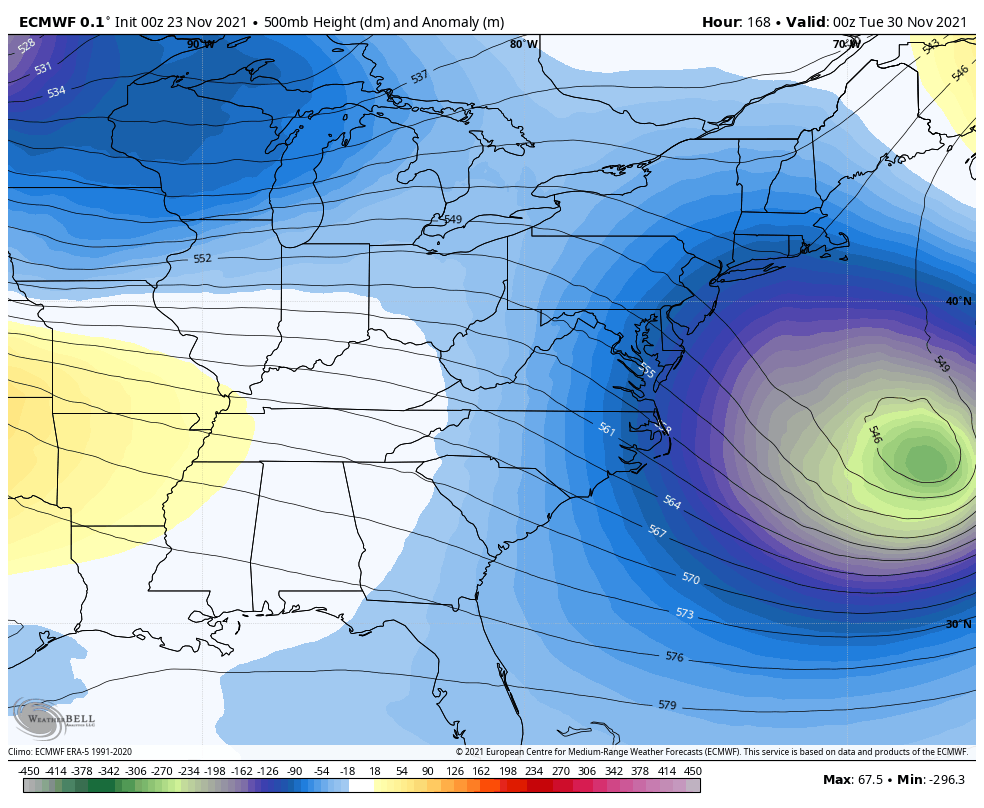
The EURO then goes on to show the third system being even stronger as it digs in to as we flip the calendar from November to December…
The GFS sees none of this on the latest run, but these model variations are typical.
I will have updates later today. Until then, have a good one and take care.

Not much happening in the snow department.
I think it would be very difficult to forecast when any measurable Snow will fall in Kentucky.
Being in another La Nina Winter is not helping our chances
Thanks Chris for all your meteorological information all these years I’ve been reading your daily weather blog.
Happy Thanksgiving to All !!!
NOAA apparently is expecting a blow torch winter this yr according to a video I watched.