Good Thursday and Happy Thanksgiving. Let me start by saying a big thank you to everyone out there for all you’ve done for our weather community through the years. On this holiday, we have rain rolling across the state and this may end as some flake action tonight and early Friday as cold air crashes in.
There’s not a whole lot more I can say about the rain out there today. It’s rolling from west to east and everybody sees wet weather, it’s just the timing on it is different based on your location. Here are your radars who never take a holiday off…

Temps are generally in the 40s as the rain is falling with gusty winds making it feel like the 20s.
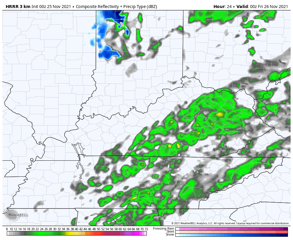
As cold air moves in from northwest to southeast, a few bands of flurries or snow showers will try to develop through the overnight in central and eastern Kentucky. You can see these streaks of flakes on the HRRR…
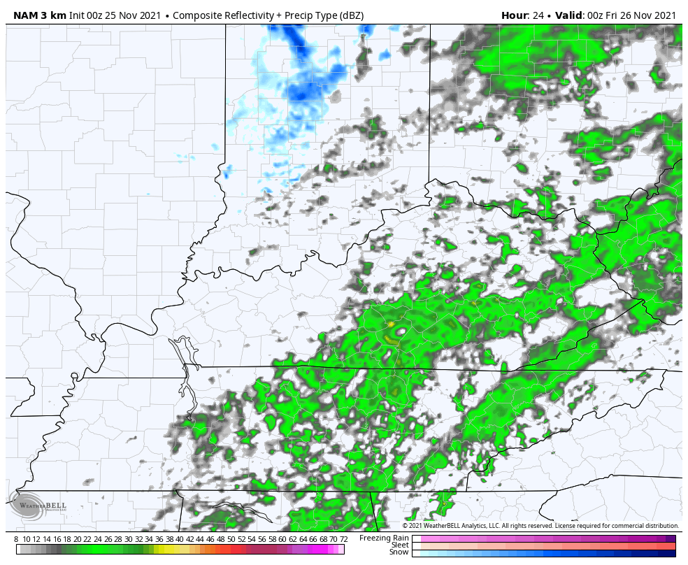
The Hi Res NAM also shows this…
Those wind chill numbers are way down there. Here’s the forecast from 7pm this evening through 9am Friday…
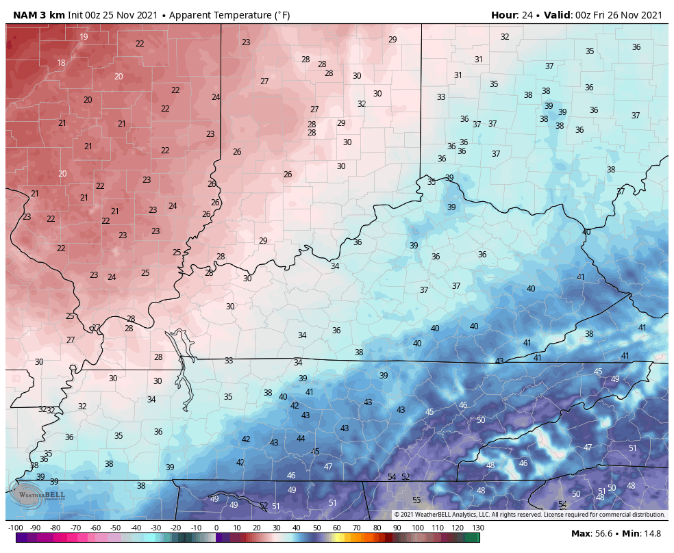
Brr!
The next system works across the Ohio Valley with some light rain and light snow, but the bulk is farther north…
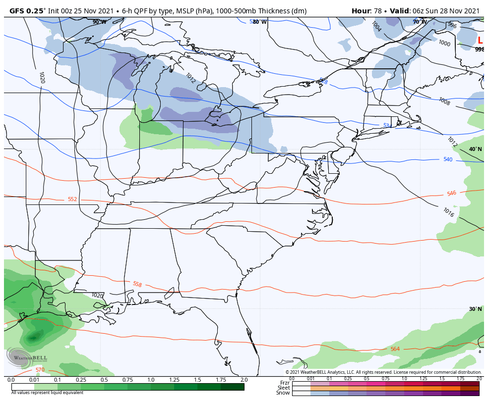
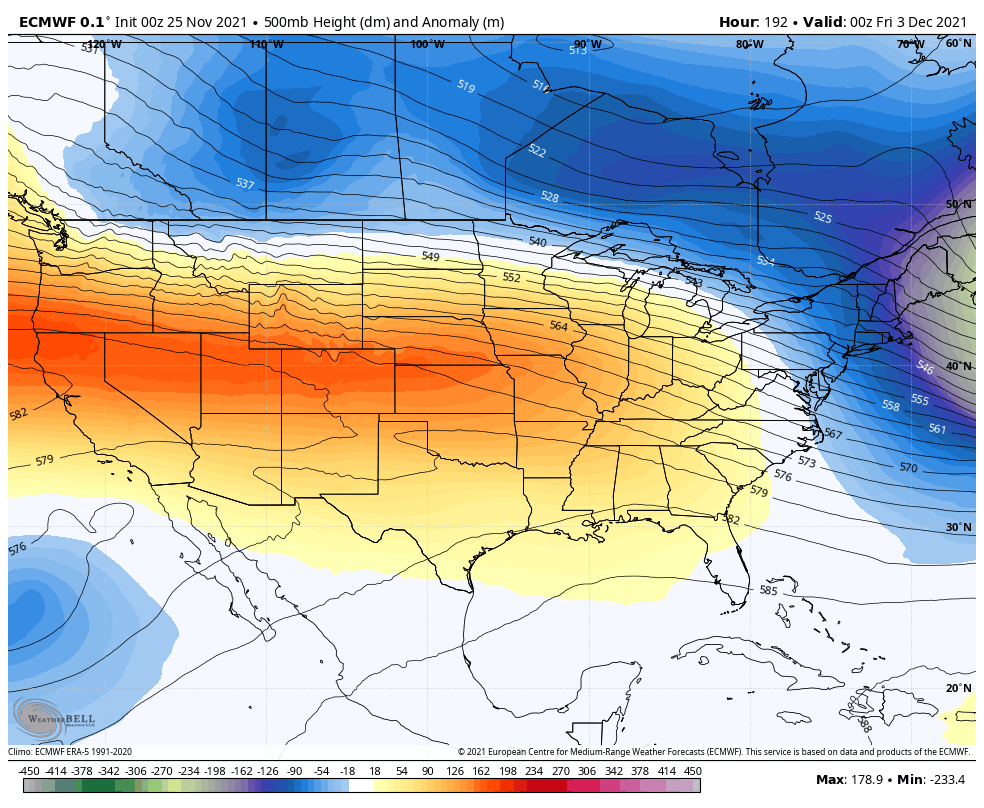
This is one of a few systems dropping into the eastern half of the country through the end of the month…

A mild surge likely takes a run at us for a few days before another trough digs into the eastern half of the country…
I will have another update later today. Have a safe and Happy Thanksgiving. Take care.

Gobble Gobble! Happy thanksgiving everyone.
Happy Thanksgiving Chris & all readers at this site.