Good afternoon, folks. It’s a better feeling day out there as some sun makes an appearance across the state. We have a couple of systems to skirting by just to our north over the next few days as we focus on a roller coaster temp ride over the next few weeks.
Winds are breezy out there today as we watch this first system roll through the Ohio Valley. The radars are showing just how close the rain and snow is getting to far northern Kentucky…

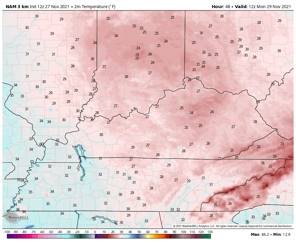
The push of cold air coming behind this system arrives later Sunday and sets the stage for a windy and cold Sunday night and Monday. Here are the temps from 7am t0 7pm Monday…
The pattern after this continues to throw the models for a loop, especially the EURO as it continues to show extreme flips from one run to the next.
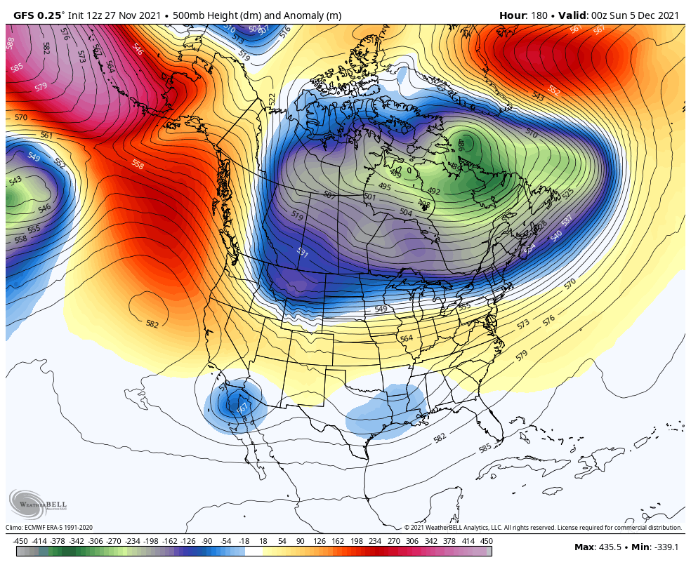
We are getting some major amplification of the jet stream coming later next week into the following week. The models are having a rough time resolving what’s happening with so much energy and with what’s happening out in the Pacific. How they handle a big cutoff low out there is really causing these big swings.
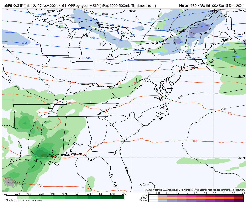
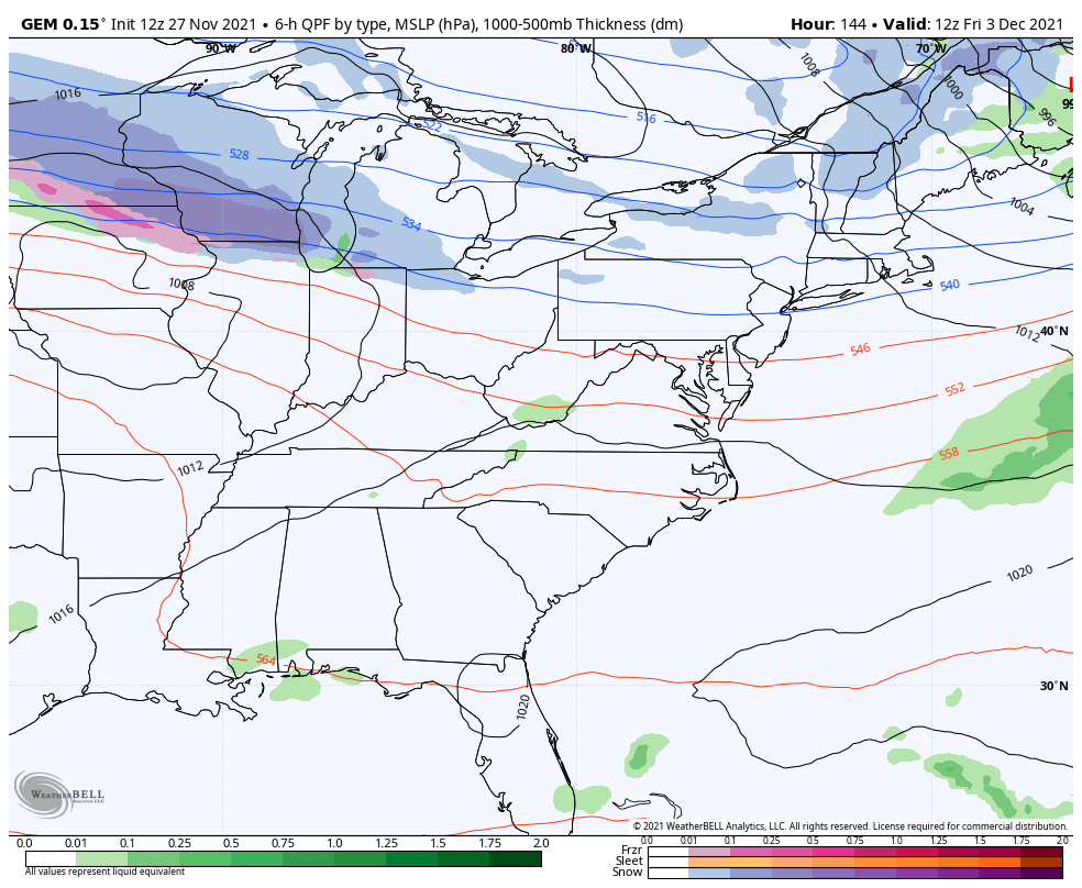
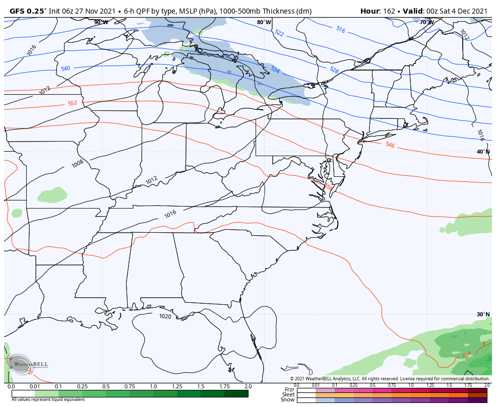
Ironically, the GFS has been most consistent…
Here’s how it looks at the surface…
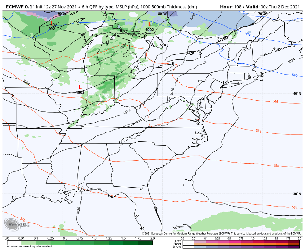
The EURO has a much different look than the prior run…
The last run of the Canadian also lost the troughs, but it flipped right back with the new run…
That actually looks a little like the 6z run of the GFS…
Moral of the story is you’re getting the wild model swings we talked about. This is actually fairly typical as we transition seasons, but it’s being amplified by conflicting signals and all the energy showing up across North America and in the Pacific.
Let all the signals sort themselves out over the next few days and then we can get a better handle on all this. I continue to like where the pattern is because it’s progressing toward my winter forecast that highlighted the second half of December into the first half of January for the worst of winter in relation to normal.
Enjoy the rest of the day and take care.
