Good afternoon, everyone. We continue to look into the first full week of December and how the models are handling a very active setup. The trend of the models is back to what they were showing several days ago and that’s a colder look in our region with the opportunity for some winter weather.
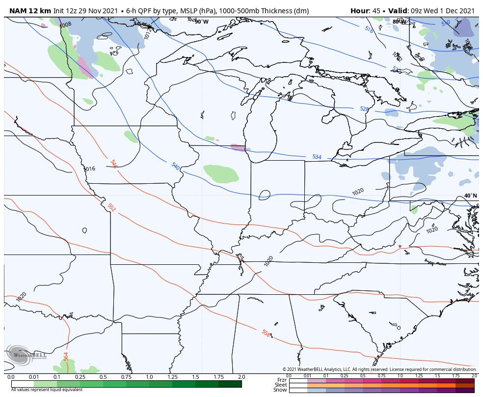
The first system due in town is a weak one on Wednesday. This brings some overrunning showers in here as milder air pushes in from the southwest…
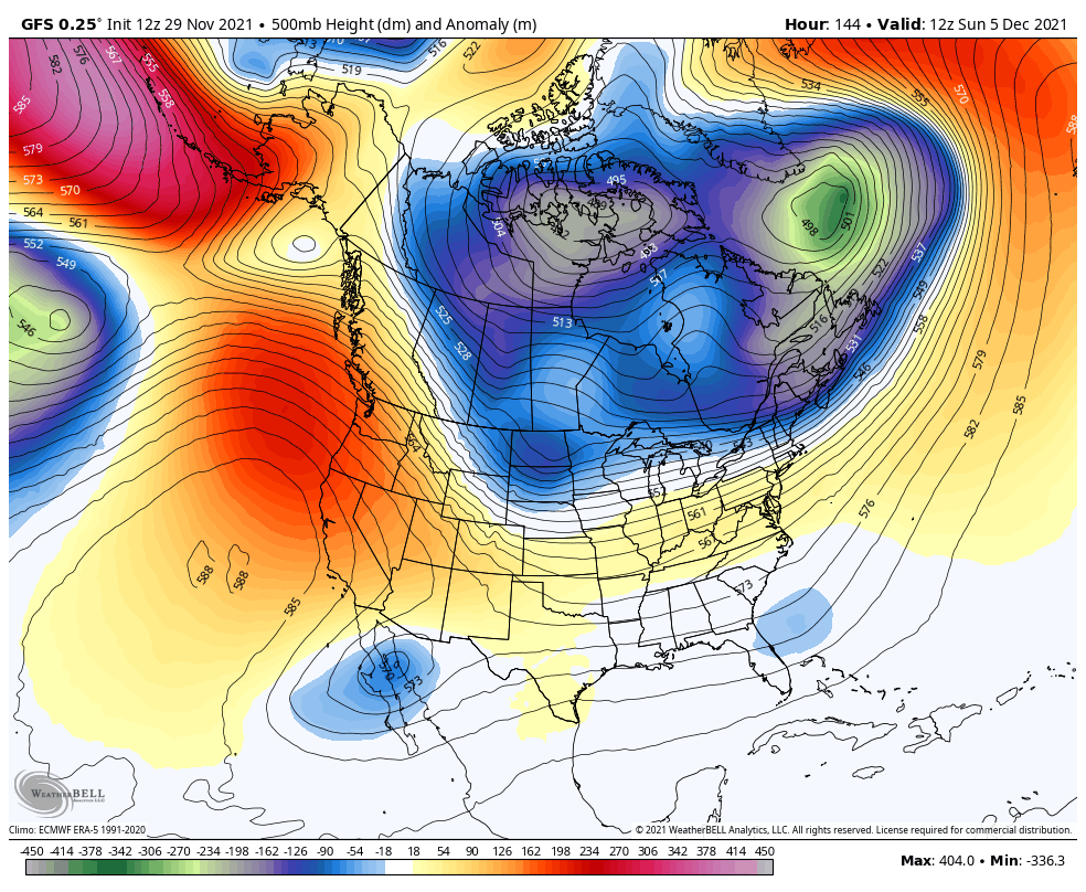
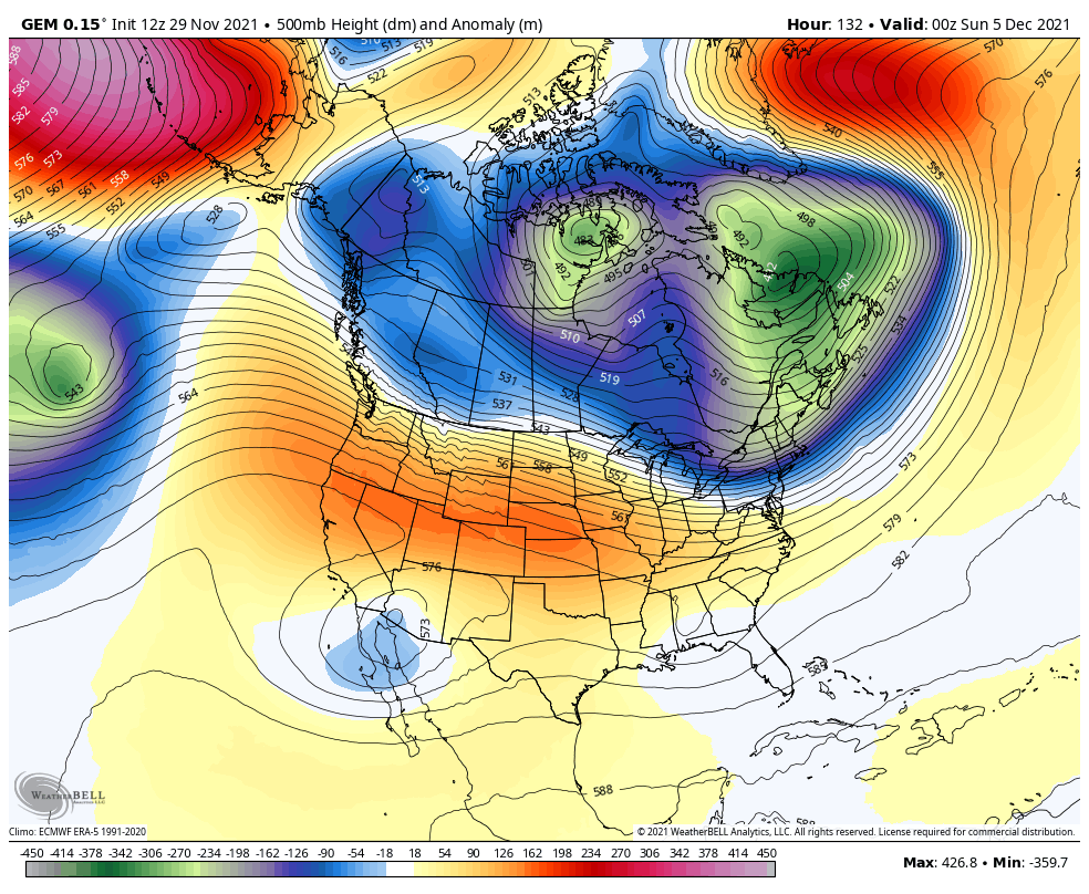
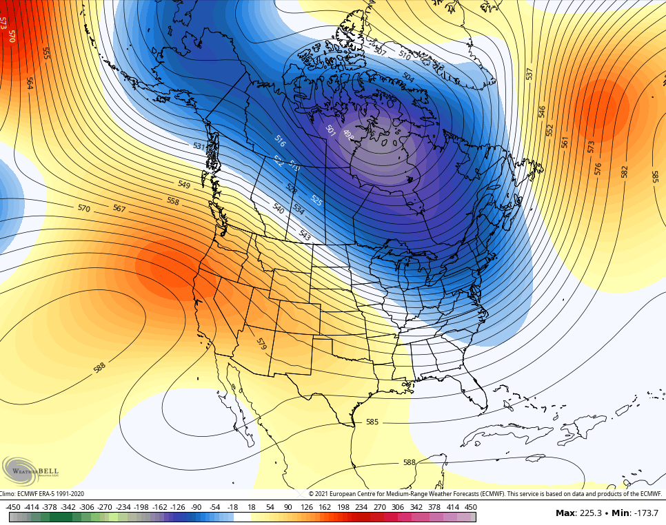
Temps are mild for the end of the week, but the jet stream will undergo a series of major amplifications with troughs digging into the eastern half of the country. I’ve been beating this drum in the face of flipping models that all decided to throw nothing but blowtorch warmth into the east. Now, those same models are back to showing these troughs into the east.
The GFS continues to show deeper troughs with each run as we get closer…
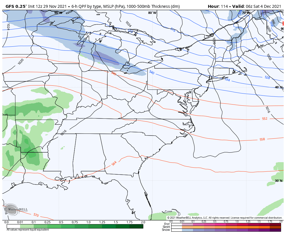
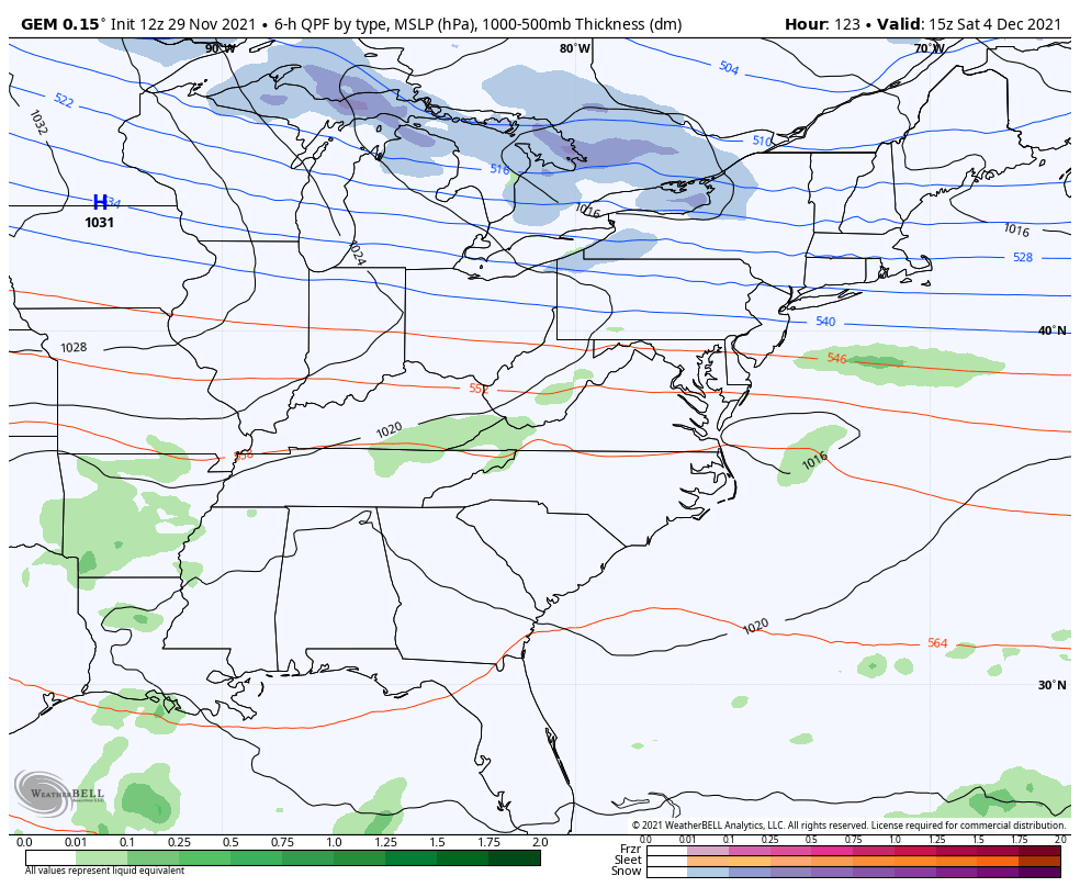
The surface map from the GFS shows one front in here with rain on Saturday, then a much bigger system with rain and snow right behind that…
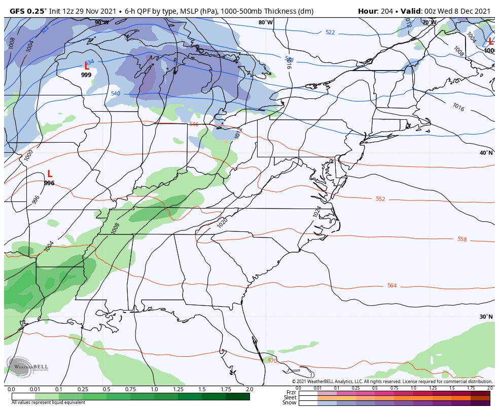
It’s starting to see the next system rolling in a few days after that, too. It’s still not all there in the upper levels and I expect this to be a colder system than what the GFS currently has…
The Canadian Model has been the most consistent of the models in showing this and it continues to do so, though not to the crazy extreme of the last run…
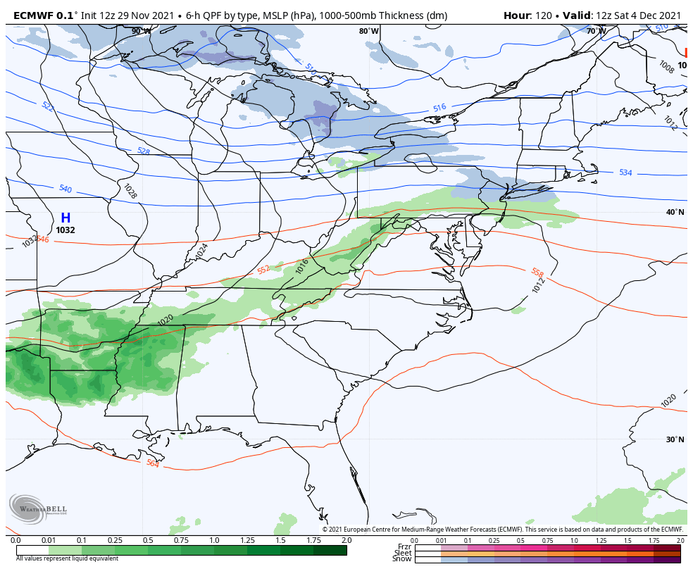
The surface looks similar to what the GFS is cooking…
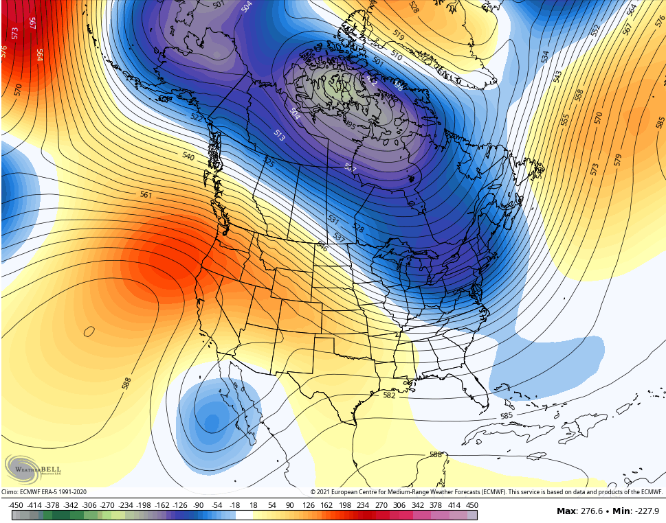
This is a pattern that the EURO struggles with as it simply cannot handle energy coming from the west and southwest. It gives us a vastly different look from one run to the next. Here’s the current one…
The EURO Ensembles continue to advertise a trough in the east from December 5-10…
Control
Average of the 51 members…
Now, I don’t think that locks in and I do expect another milder push right after it before we lock into a cold pattern for the second half of December.
Make it a great evening and take care.
