Good afternoon, folks. Severe storms and flooding rains have ended across the state, but this pattern stays super active through the coming weekend. We have a light snow maker and another major storm system on the way. That storm may produce severe weather, flooding and some snow this weekend.
Let’s start out talking about the recent round of severe storms and flooding. Many areas had wind damage and we had a confirmed EF-1 tornado hit Scott County and it did so without any warning from the NWS.
Heavy rains caused all kinds of flooding issues with totals like this..

With a lot more rain on the way this weekend, the flooding threat is increased as the 1978 analog I mentioned lives on.
Before we get to all that, we have a light snow maker for some Tuesday night into Wednesday morning. The models disagree on exact placement and amounts, but have a general idea on it all.
The NAM is by far the most aggressive with the light snow potential…

The GFS has a nice little swath…

The Candian is a little more choppy, but has a similar idea…

The EURO continues to be the lightest of the bunch…

I will get you an “odds” or “First Call For Snowfall” map out later today.
A week system moves in with a few showers Thursday into early Friday, but the main story is the weekend setup. This is a potent looking system that will likely bring strong storms and flooding rains to the region. As cold air crashes in, rain may end as a period of snow on Sunday.
Here’s how the GFS is playing it…

Given the soaking we just had causing our rivers to fill, the threat for flash flooding and general flooding will be rather high this weekend. The GFS is showing some 5″ rain amounts through Sunday…

The Canadian isn’t too far behind…

The EURO continues to see things differently from run to run and is too disjointed for my taste right now. Still, the model is spitting out some major rains…

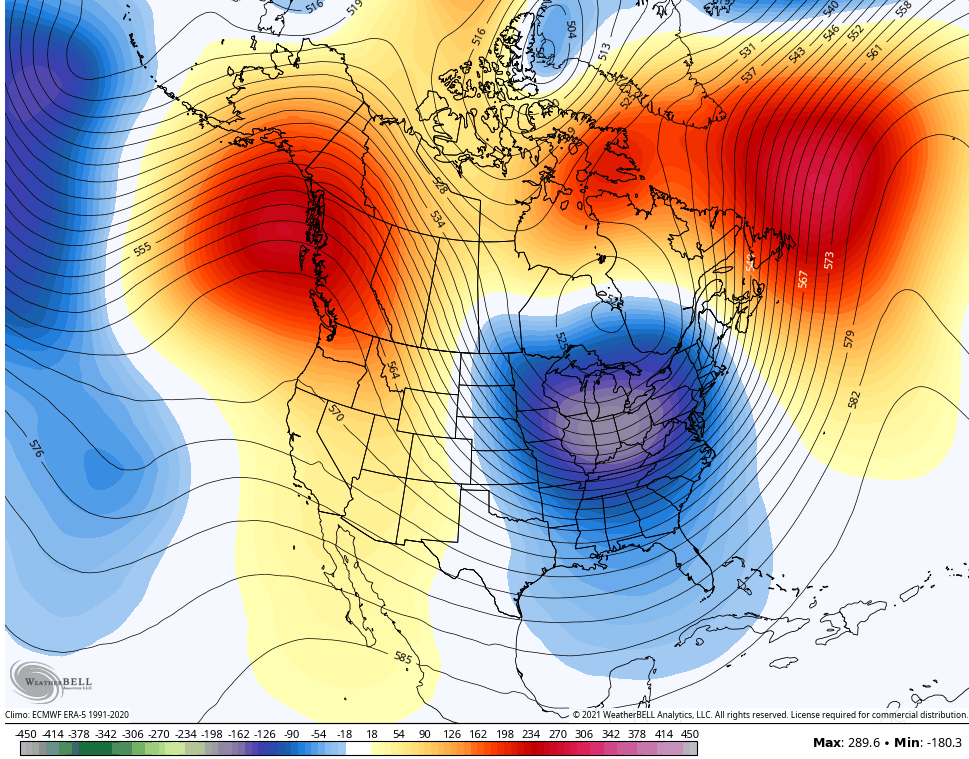
Looking beyond this weekend, the pattern should find temps shooting back up next week before things begin to change in a bigger way. My winter forecast had this change occurring in the second half of December and going deep into January.
The latest GFS Ensembles Extended are showing this change well, especially the control run. Look at this deep trough showing up in the 7 day period from December 21-28…
Here it is for the first week of January…

The latest CFS is also showing this switch taking place before Christmas. Here’s the 7 day average for Christmas week…

I will have another update this evening. Have a good one and take care.

It looks like the same counties that are always in play for a quick hitting light snow maker will be receiving some snow on Tuesday.
I think now that Eastern Kentucky and Indiana as well as Ohio will receive the Snowiest part of Winter. Western and South Central Kentucky will have to wait a little longer. Maybe next Winter if we phase into a weak ENSO ?
I remember December 1978 as being very wet and mild and when January 1979 came, the mild weather pattern continued into the Spring months with a hard freeze at the end. I lost many nursery plants that year.