Good evening, folks. I wanted to drop by for a quick update on the pattern ahead of us as we start to slowly transition into much more of a wintertime look. That transition may bode well for Christmas week as it can deliver cold and some snow chances.
We know the week ahead turns really mild once again, but a series of cold fronts look to change that up. The first front arrives Thursday with showers and seasonable temps behind it with the next system rolling in behind that with rain and a blast of colder air next weekend…
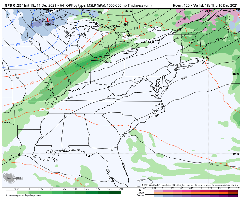
That sets up a colder pattern and an active southern storm track for Christmas week….

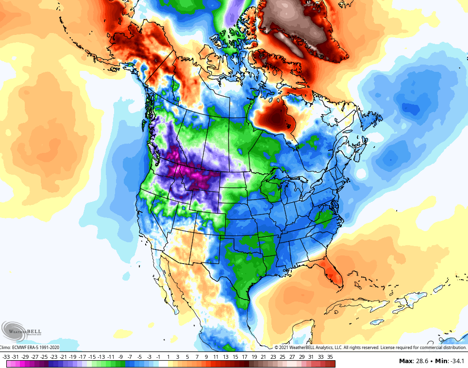
The GFS takes most of the country into much colder than normal territory for the 5 day period around Christmas…
The European Model is also seeing this setup with deepening troughs diving through the region…

I’ll see you guys with the normal late night update. Have a good one and take care.
