Good evenikng, folks. Our cold front is moving into the region and this will slow down as we move into tonight and Friday. That allows for rounds of showers and thunderstorms to develop and roll across the region, heavy rains and the potential for local high water issues.
While there is the threat for thunderstorms, the severe weather potential is off to the southwest of us and is very low…
The threat for too much rain continues to show up Friday across much of the state, with the greatest risk across the north and west. Here’s a look at the Excessive Rainfall Outlook from the WPC for Friday…
The HRRR shows the concern with pockets of 3″+ rains…

Your regional radars are on duty to track the increase in showers and storms through the rest of the day…

Temps behind this front will be much colder and we’re likely to see a 20 degree temp swing from north to south on Friday.
The milder air bubbles farther north Friday night and early Saturday, but the numbers crash quickly from the west as low pressure moves through the Ohio Valley and brings the front through here. Additional showers and some thunderstorms will be likely ahead of this.
Temps once again crash quickly from west to east Saturday afternoon and evening and will make our Sunday actually feel like December. There’s even the chance for a few flakes to fly Sunday morning…

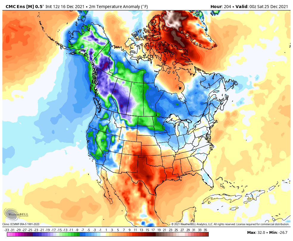
The pattern continues to head toward a much colder look for Christmas week into the final week of the year…
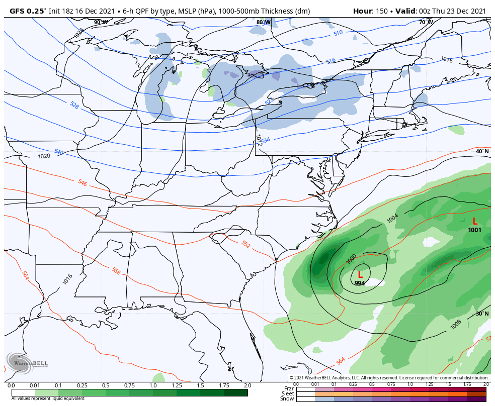
Now… Can we get some snow chances with that cold? We shall see, but the GFS has a couple of systems…
Enjoy the evening and take care.
