Good Saturday to one and all. We are one week from Christmas and we continue to track more of the same… For now. Mild temps and rainy skies start the day, but much colder air finally filters in through tonight and that sets the stage for a colder overall pattern for the big week ahead.
A few showers and storms start the day ahead of a cold front moving in from west to east this afternoon and evening. This will keep some showers going well into the evening across central and eastern Kentucky. Here are your radars to follow along…

As the front moves into eastern Kentucky tonight, there’s almost a bit of an enhancement of the precipitation shield. Some of the models are even suggesting some light snow and flake action mixing in with the rain as it ends early Sunday…

That’s the NAM and here are the areas it shows as having the chance to see some flakes…

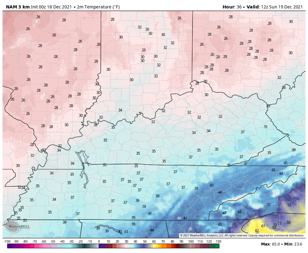
Much colder air takes control for Sunday. Check out the temps from 7am Sunday through 7am Monday…
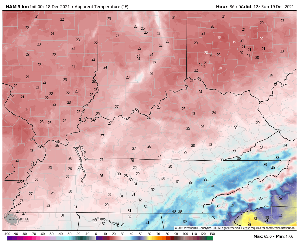
Gusty winds make this period feel even colder…
The setup for Christmas week is colder than where we have been, but it’s still nothing to write home about. We will watch a system or two zip across the country later in the week right around Christmas. This is likely a shower maker with little hope for us to have a back to back White Christmas.
That said, the 1984 analog I threw out there at the end of November is working well. This November and that November were spitting images of one another and the December’s have been spot on. The pattern flipped to crazy cold and snow after we flipped the calendar and that’s what’s showing up on the current GFS…
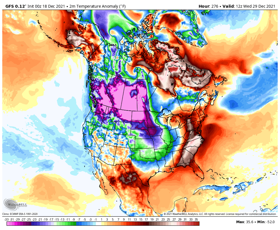
This is running toward what the Canadian Ensembles have been showing for a while. They are even more enthusiastic than before…

That’s a serious trough developing underneath the blocking hooking up from Greenland to Alaska. That’s also showing up on the GFS Ensembles…

I will update things later today, so check back. Have a good one and take care.

what happen to first alert scare job with flooding!!!!!!!!! a novice could saw thursday night that the flood threat for thew viewing area was very low. cancel the alert then instead of this morning. you work last week was awesome from the storm coverage. jimmy hung right in there too.
Completely inappropriate. Chris should simply scrub you from this site.
Not much rain has fallen in the last 48 hours here in Taylor County. For the month however we have had over 5.00 inches.
I projected the Ventusky Snowfall prediction for Maple, Kentucky and it is forecasting about an inch of Snow on the 31st. Hope it pans out ?
All the Teleconnections are forecast to go negative, but the PNA is trending positive. A step in the right direction for Snow lovers.
I notice on the ensembles the strong ridge to our South and East is beginning to break down and the Polar Low will finally start to weaken. Hope this means colder weather will stay for a while longer ?