Good afternoon, everybody. It’s a seasonable day across the bluegrass state as we wait on a cold front to drop in overnight. This front is moisture starved, but it will bring a quick-hitting shot of cold air with it. Behind that comes a series of systems targeting the region Christmas weekend into early next week.
Temps behind this front hit the 20s tonight and only recover into the 30s for highs on Wednesday. Gusty winds will add some serious chill to the air with wind chills deep into the teens over the next few mornings. Here are your wind chill numbers from 7am Wednesday through 7am Thursday…

Temps begin to respond quickly by later Thursday into Christmas Eve as a system zips by to our northwest. Winds for Christmas Eve will be very gusty…

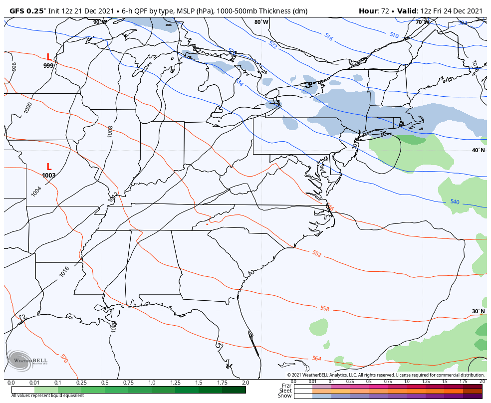
That appears to be the first of three systems to impact us through Tuesday of next week. Here’s how the GFS sees this…
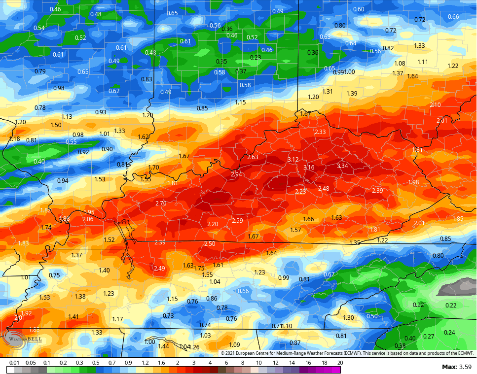
This is a battle taking shape between abnormally mild air and bitterly cold air invading the country. We don’t need a prolonged fight or we are going to see more problems, folks. The next week and a half’s worth of rain on the EURO shows the concern…
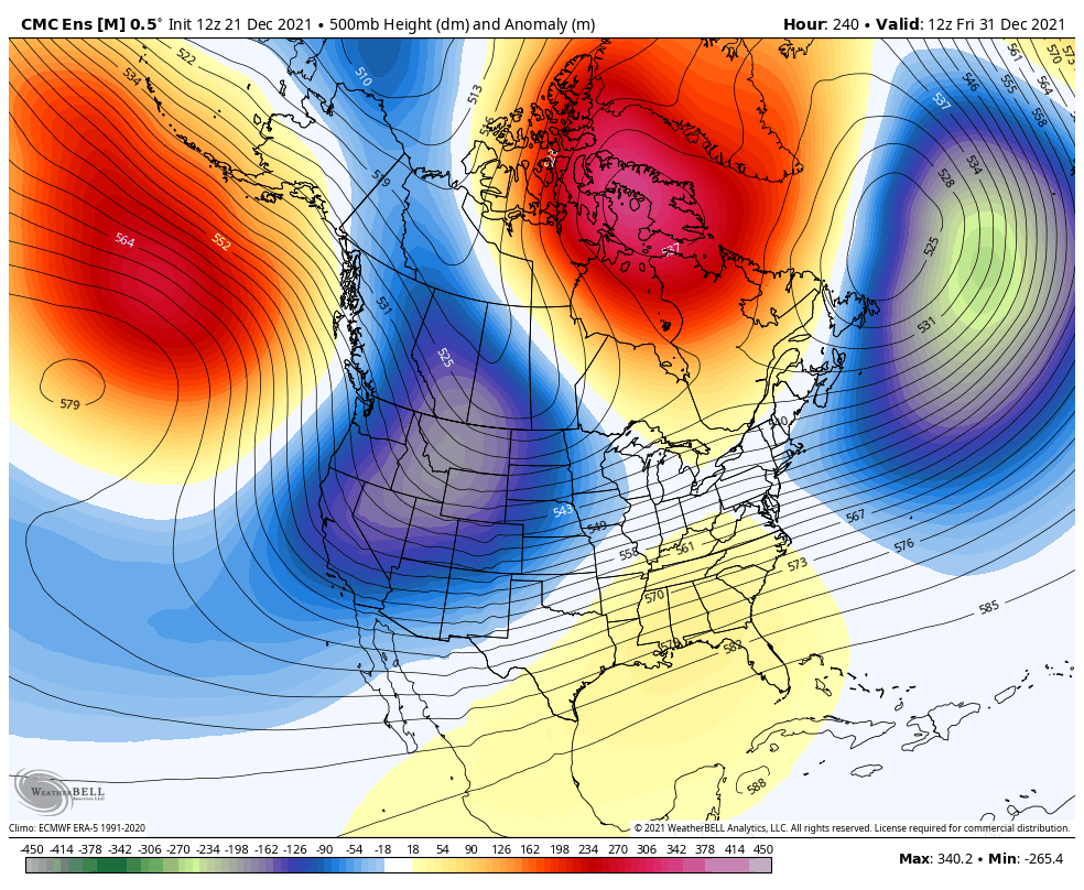
The cold is going to win this fight and that’s something I’m fairly confident in. The timing of that knockout punch is likely as we flip the calendar to 2022…
Bring it on and I’m not saying that for my normal reasons. I’m saying it because I don’t want to see a continuation of the pattern that has caused so much heartache and damage in our region and other parts of the country.
Enjoy the rest of the day and take care.

Negative PNA is a monster..If it don’t break down move East or something I’m afraid we gonna see the same..Seeing high dew points on some modeling so that’s not good..Bet the folks out West are enjoying the pattern..