Good evening, folks. It’s a cold evening across the land, but the pattern is about to turn milder and wilder as we get into the closing days of the year. This means several storm systems roll through here before we turn it much colder as we head into the start of 2022.
The Christmas Weekend setup with a couple of systems rolling through here. Gusty winds, mild temps and a few showers will be with us Christmas Eve and Christmas Day. Colder air then filters in for Saturday night and Sunday…

Near record highs will show up in our region.
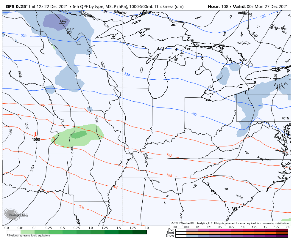
That’s followed up by another system that brings a little more of a winter look to the Ohio Valley by Monday. The GFS then brings two more systems before we say goodbye to 2021…
The operational GFS then brings more of a winter look to early January…

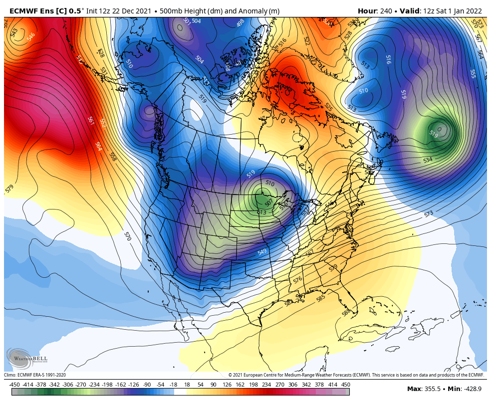
The early January setup continues to find cold air overwhelming the pattern across much of the country, including right here in our region…

The EURO Ensembles also show this coast to coast cold setup…

Here’s the control run…
Enjoy the evening and take care.

As long as no ice rain or tornadoes, that would be an okay winter, IMO.