Good afternoon, everyone. As we get closer and closer to Santa arriving, the pattern for the big day continues to look windy and mild. Beyond that, things take a big turn toward active as a temp fight sets up right on top of us. We may get ourselves in some trouble before the cold wins this fight.
We know we have a cold front working into the region over the weekend. Temps ahead of this will flirt with record highs in some areas for Christmas Day. Wind gusts may reach 40mph at times ahead of the front that brings showers and a seasonable chill for Sunday.
This sets the stage for a very active close to the year with multiple systems rolling through here, bringing the potential for strong storms and heavy rains. Flakes may actually fly just to our north. Here’s the GFS…

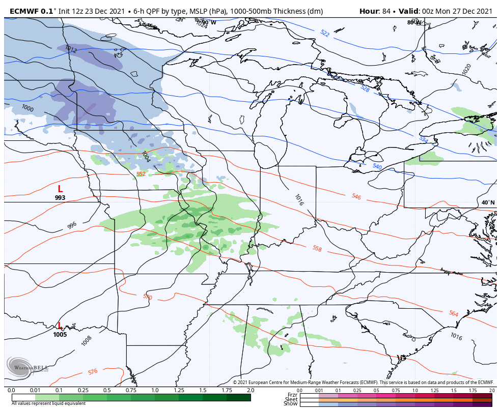
Here’s that active pattern on the EURO…
The models are going to vary with timing of these systems and on exactly when the arrival of the coldest air gets in here. The latest GFS is just a tad slower with the arrival of the cold and fires up a monster storm system that could cause issues…

Look at the temperature extremes we are working with…

I’m not sure the last time I’ve witnessed such a stark contrast in temps setting up for such a prolonged period of time. This is the setup that needs to change and it needs to change in a hurry or else we will get ourselves in some trouble. I’ve been warning you guys for a while now about this pattern not being a good thing. We have to watch for additional rounds of strong to severe storms and heavy rains.
The GFS rainfall numbers into the first few days of January show the ugly potential…

Enjoy the rest of the day and take care.

We cannot handle that much rain in the Big Sandy river basin 6 to7 inches in Dickerson County VA . and the rain in Pike and Floyd Co. could cause record flooding. I hope the model is wrong.