Good Friday and Merry Christmas Eve. Our weather surely isn’t feeling the part across the Commonwealth as windy and mild conditions take control. This setup is part of a mild to wild pattern that looks to be with us to close out 2021 and usher in 2022. A major temp fight may very well get us into some trouble during this time.
The weather out there today is MUCH different than what we were tracking last year at this time. That’s when a Christmas snowstorm was kicking in across central and eastern Kentucky. Some areas of the east picked up double digit snow amounts.
If you want to relive it all, here are the posts from last Christmas Eve…
Winter Storm ALERT For Christmas Eve | Kentucky Weather Center with Meteorologist Chris Bailey
Merry Christmas Eve Winter Storm ALERT | Kentucky Weather Center with Meteorologist Chris Bailey
Squalls Kick In Behind The Snowstorm | Kentucky Weather Center with Meteorologist Chris Bailey
That was one fun and historic snowstorm.
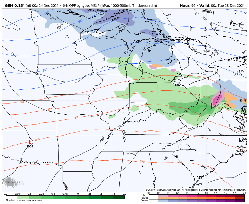
This year, mild and windy weather will be playing the part of the Grinch. Temps out there today hit the 50s for most and likely a few 60s in the west and south. Winds are gusty and there’s a chance for a shower or two going up. Your radars are on duty to track any drops that show up…

The threat for a few showers will continue through Christmas Day, but this stuff is very scattered…

Temps are the big story and will make a run at record highs in a few spots, especially in the west. This will be the warmest Christmas since 2015, which isn’t that long ago.
The numbers come down a bit on Sunday, but still hang around normal or a little above.
This sets the stage another super-active setup next week as a major temp fight gets underway across the country. This will put our region in the battle zone and that means repeat rounds of heavy rain and the potential for some strong storms.
The latest GFS run was a little farther south with the action, but I suspect that’s the bias of the model coming into play…

The Canadian has a very ugly look to it…
Here are the rain numbers from that run of the Canadian…

The new EURO is more in line with the GFS and is even colder…

Do your thing, cold! If not, trouble is lurking as we change years.
I will throw you another update later today. Have a great Christmas Eve and take care.

That January 1st storm looks like another nasty piece of work. What worries me is that the jet stream forecast for that time frame places a 100-120 knot southwest to northeast jet right over Western Kentucky. Here’s hoping that lightning doesn’t strike twice!
The latest forecast from Polar Vortex guru Judah Cohen predicts negative AO and NAO for at least the first half of January, with a stretched intrusion of the PV, and he posits two scenarios after that: one would have our weather turn milder for the latter part of January, while the second, which he favors, gives us a continuation of the cold weather.
Here’s a link to Judah’s blog:
https://www.aer.com/science-research/climate-weather/arctic-oscillation/
It is concerning, but lets all hope and more importantly keep a close watch and listen to every weather cast.
Excellent post Joe and thanks for sharing. Again, lets all hope that second scenario plays out for the rest of the Winter?
Thanks Chris, Enjoyed to relive last Christmas Snowstorm even though we did not have that much Snow here in Maple. What I really enjoyed is reading everyone’s post and conversing on the progress of that Snowstorm in different areas of Eastern Kentucky. Fun times on KWC !
Merry Christmas Eve to all here on the KWC blog.
Chris, thank you so much today and every day for all you do to keep us informed and safe.
Just reminiscing about white Christmases past, especially last year here in eastern KY when we had a miracle snowstorm,, and wishing things would level out a bit now. We really need the leveling out to happen ASAP.
God bless each and every one of you this day and always. There’s always next year.