Good afternoon, folks. Temps are spiking and the snow is starting to melt. That melt coincides with a round of heavy rain blowing in here overnight and Sunday, leading to an increased potential for, at least, local flooding issues. To maker matters worse, temps tank late Sunday with the potential for a quick freeze up Sunday night.
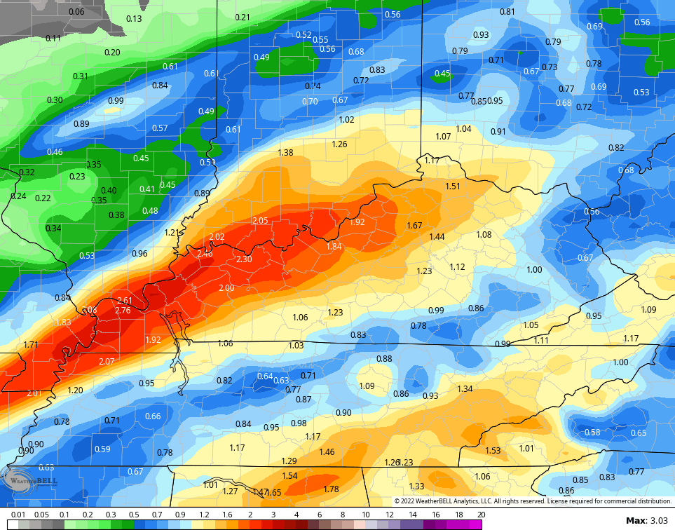
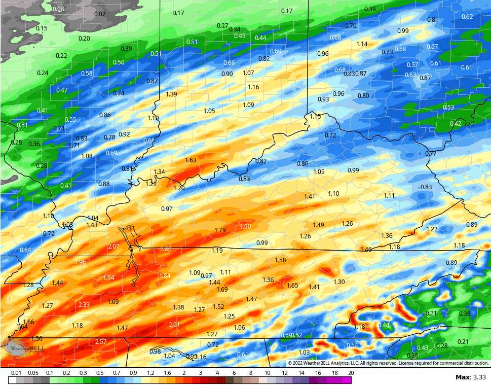
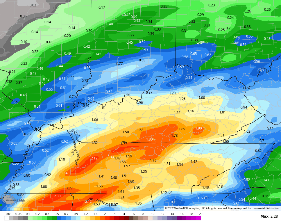
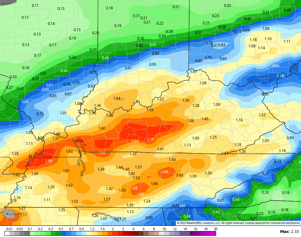
The models continue to advertise a widespread 1″-2″ rain tonight and Sunday and most of this falls within a 12 hour period…
NAM
HI RES NAM
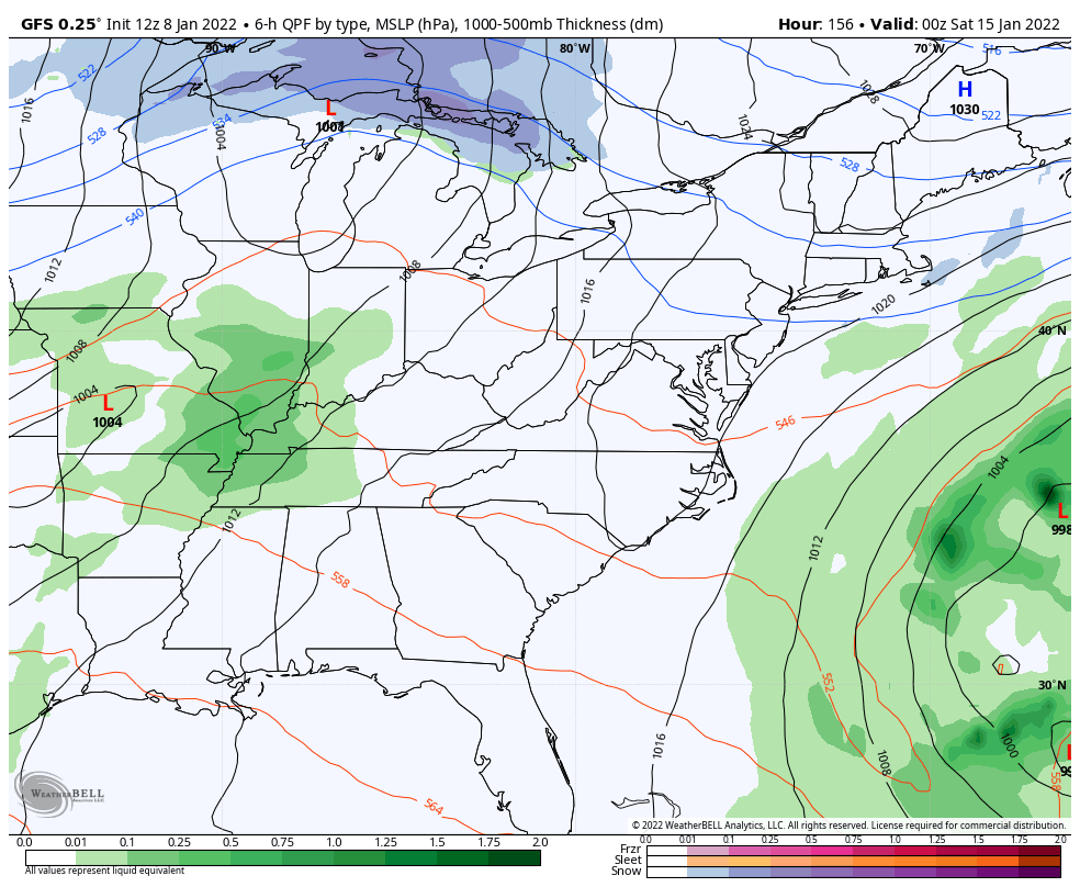
GFS
CANADIAN
With a frozen ground and melting snowpack, it won’t take much to cause some high water issues. Stay alert.
Temps crash from northwest to southeast Sunday afternoon and evening and a few flakes may even fly. There’s an outside chance for a hit and run coating for a few spots, but the main focus turns to a quick ice up of all the water out there. Temps Sunday night get deep into the teens…

Temps stay cold early in the week before a little bounce back by the middle of the week. The pattern is going toward one that looks absolutely frigid for much of the country for the middle and end of the month. It’s one that tries to look in deep into February…
GFS ENSEMBLES

CANADIAN ENSEMBLES

How we get there is what the models are trying to figure out, but the potential is there for a couple of nice systems starting next weekend into the following week…
GFS
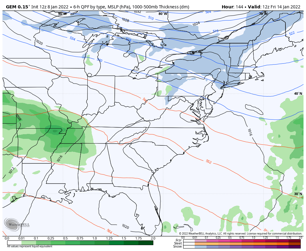
CANADIAN
EURO

We know this last storm was a memorable one, but there’s a good chance this was just the beginning of what turns into a prolonged, harsh winter pattern.
I may drop by for another update later today. Until then, here are your radars to track the increase in rain and some thunder…

Have a great day and take care.
