Good Saturday, folks. A cold front is dropping through the region today and it’s bringing more in the way of showers and storms. This front also brings more pleasant air into the area and there’s another one coming early next week that will bring another round of nice air.
Let’s begin with what’s going on out there today. Rounds of showers and storms are around, especially through the first half of the day. Some of the storms may still be strong or severe across southern Kentucky into the afternoon.
Here’s the area the Storm Prediction Center is monitoring for severe storms today…

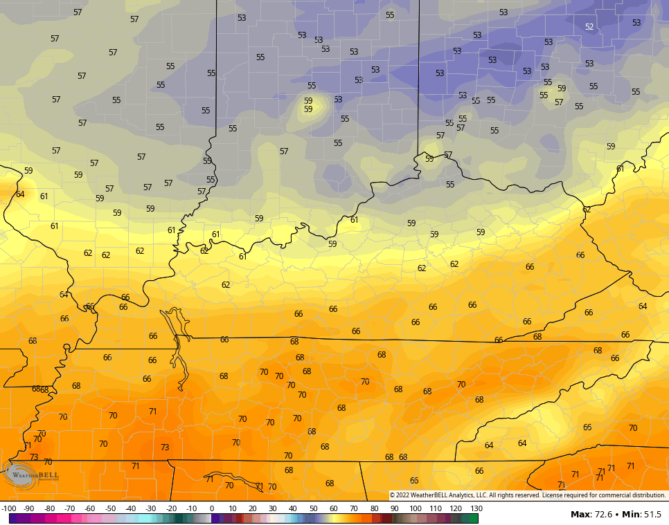
Much better air blows in from north to south late today into tonight. Lows in the north may drop deep into the 50s…
Sunday looks amazing with blue skies, low humidity and temps in the 80s. Enjoy!
Monday looks like another nice day as temps rebound toward more normal mid-July readings.
Another cold front then sweeps in from late Tuesday into Wednesday with more in the way of showers and storms…

That ushers in a cooler air mass for the rest of next week with a deepening trough into the eastern part of the country. That trough shows up well on the Euro and you can see a second dip trying to pick up something tropical on the model…

That heat ridge in the west is going to try to expand east after that, but anything in the tropics would be a wild card into the overall pattern.
As always, I have you all set to track any severe weather out there today…

Current watches

Possible Watch Areas

Make it a great Saturday and take care.

I hope everybody received some badly needed rain over the past week.
I cannot wait for tomorrow it looks to be weather wise a great day.
I noticed on the Kentucky Mesonet that a lot of real estate along with the cropland received a good soaking rain in the last 48 hours. Here in Maple, we received 0.86 inches, a good start in getting back to normal on rainfall.
A break in the extreme heat of the past several weeks sounds more like our Summers here in South Central Kentucky. Hopefully, the heat will get less and less over the next several weeks, but the extended says we are not through with the heat just yet.
I expect the Tropical Atlantic and the Caribbean to get active over the next two Months ?
finally glad to see a sunny day taking shape for sunday. we’ve been clobbered in my corner of eastern kentucky with relentless rain and storms for days. is this kentucky or the pacific northwest…..