Good Sunday, folks. It’s a MUCH better day taking shape across the region after several days of beneficial rains. Pleasant temps will be more common over the next week as we track another cold front our way. The week after that is already throwing out another heat signal.
Let’s start this weather party with what’s cracking out there today. Most of the area is seeing mainly sunny skies taking control but the far east and southeast may have stubborn clouds around and there’s a small chance of a shower or storm lingering. Here are your radars just in case…

Temps this morning may reach the 50s in the north with 80s for afternoon highs across the entire area. Humidity levels will be low, so it’s very comfy.
Monday is another nice day as temps rebound toward the upper 80s to near 90 and those numbers carry us into Tuesday. That’s when another cold front shows up with showers and storms increasing…

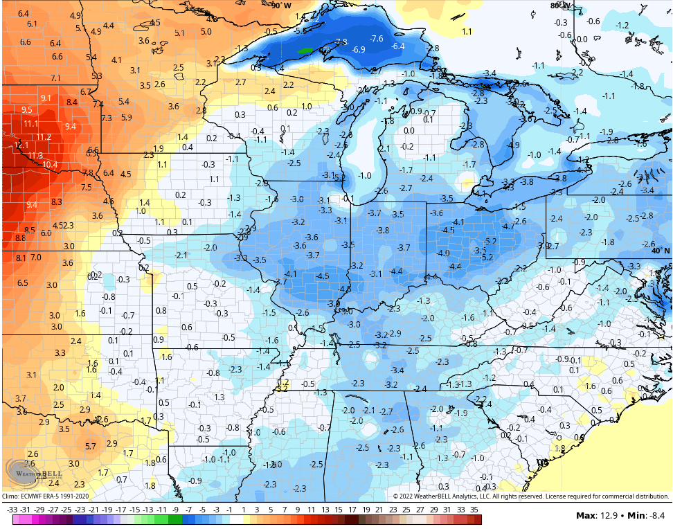
Temps are pretty pleasant behind this and will likely average a bit below normal for the 5 day stretch behind that boundary…
I’m seeing increasing signals for another massive heat wave from the plains into our region for the following week. Watch how this heat ridge flexes…

That can really get ugly for the plains and Mississippi Valley with our region on the cusp of it all.
Have a wonderful Sunday and take care.

We have to enjoy the nice weather while we have it.
yesterday I was browsing the weather and I saw a place in Mississippi and the temp was 97 and a dewpoint of 80! Heat index 117! Not as bad as the 121 but still horrible….and it poured rain here at my house for several hours and stayed 70 most of the day…
Yesterday we had lots of clouds and only some drizzle towards evening. Hoping the next bout of Heat won’t be as quick to return ?
the accuweather app & msn weather app missed the mostly sunny forecast for eastern ky by a country mile today. instead of glorious sunshine that i was expecting, ive had stubborn clouds and drizzle all day long. chris bailey got it right as always.
At 5:52 pm…88 degrees at bluegra-s-s airport………meanwhile at the mesonet just slightly south…82 degrees…..SIX-degree difference……Could it REALLY be a six-degree difference………….OR………….is one of the readings way off from reality???