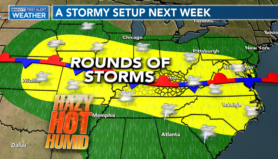
Good Monday, everybody. It’s the final week of July and our overall weather pattern is undergoing a major change. It’s back to a stormy setup as rounds of strong storms rumble across the region. It’s also a setup that can put down a lot of rain, bringing a flash flood threat.
A cold front drops into the state today and stalls. As this happens, waves of low pressure roll along the boundary through the end of the week and likely into the upcoming weekend. The end result will be rounds of strong storms and heavy rains.
Let’s focus on the strong storm potential before we get into the flash flood threat.
The Storm Prediction Center has much of the region in a low-end risk for severe storms today…

Damaging winds and large hail are the main players.
The same can be said for Tuesday as our low-end risk continues…

This low-end threat likely shows up each day this week and into the weekend and matches the map I put together Wednesday of last week…
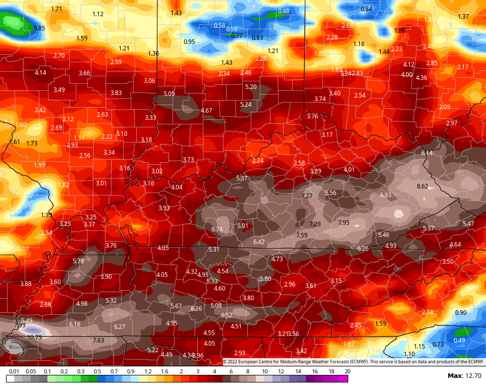
It’s a pattern that essentially gets stuck in place and that continues to set off alarm bells for the potential for flooding rains.
The EURO through early next week continues to show a lot of rain…
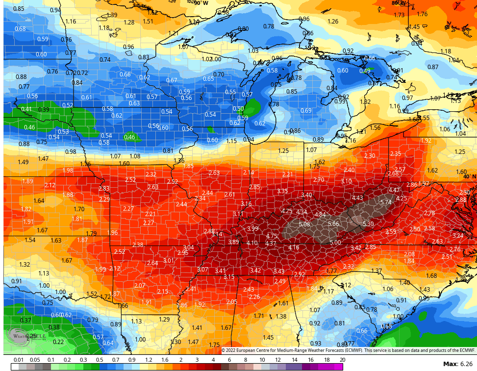
It’s backed up by the EURO Ensembles. Here are the average rainfall numbers from the 51 members for the same time…
The good news is that temps come way way down during this time, but the humidity remains high.
I will drop by with any updates as needed later today and have the very latest on WKYT-TV starting at 4pm. As always, I leave you with your storm tracking tools…

Current watches

Possible Watch Areas

Have a great Monday and take care.

Thanks Chris, currently, we have very light rain. I hope it continues for the rest of the day and gets heavier as the day wears on without the severe weather threats ? Yesterday was a typical Summer day here in South Central Kentucky. It would be wonderful going into the month of August on a cooler, wetter note ?