Good Saturday, folks. We continue to track waves of showers and storms across the Commonwealth and they’re bringing the threat for more high water issues. We do have a bit of a break ahead before another system arrives in the week ahead and unleashes a different pattern… Finally!!
Periods of showers and storms will continue to fire across central and eastern Kentucky today. These storms won’t be around for the entire day, but will come at us in waves. With tropical air in place, additional heavy rainfall may cause local flash flooding issues to develop.
Here are your radars to follow the action…

Showers and storms become more isolated for Sunday and Monday as temps return to the 85-90 degree range. Higher humidity levels will make it feel rather tropical.
Another cold front drops in here by Tuesday and slows down through Wednesday and part of Thursday. That could bring more heavy rains back to the region…

That’s being pushed by much cooler and drier air working in by the end of the week into next weekend. Temps may turn well below normal for a while…
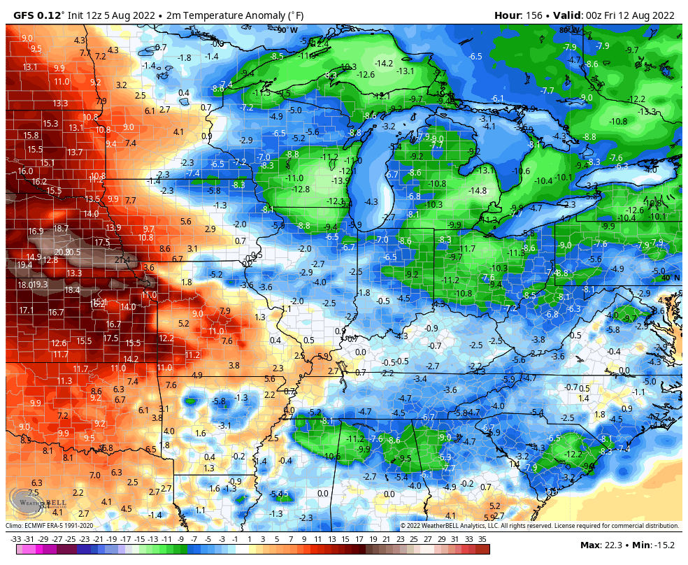
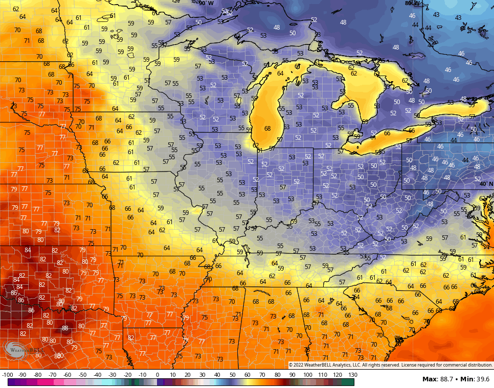
The GFS is even spitting out lows deep into the 50s…
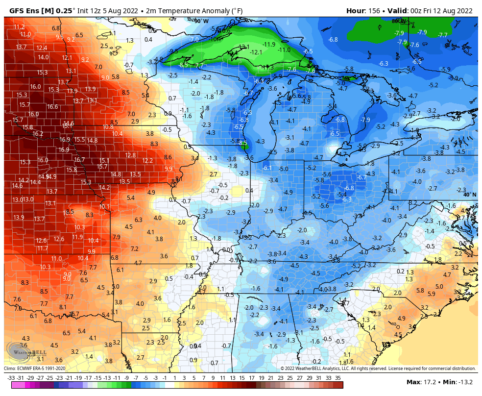
This cooler than normal look is back upped by the GFS Ensembles…
Here’s hoping that signifies a much needed pattern change as we hit the middle of August. I’ll also take a little hint of early fall if we can get it. 🍂🍁
Have a great Saturday and take care.

We picked up 0.30″ of badly needed rain on Friday, the first measureable precip during the past 9 days. I’m going to try mowing the lawn tomorrow. Most of the neighborhood lawns are burned out, while I continue to have a relatively green lawn, primarily because I’m maintaining a minimum cutying depth of 4 inches. Friday was also extremely muggy; three times during the course of the day we saw the dewpoint exceed 80°F.
Joe, your area of Bowling Green and my area of Taylor County has miss out on the beneficial rains. I have no idea why but, there must be a reason out there somewhere why are counties are not receiving rains that other areas are getting ?
I haven’t any lawn, mostly field to mow and it’s green now because I don’t mow that much. The ” natural look” LOL…..
‘
What are the odds of being in a pattern like this and seeing rain…but not a single thunderstorm?
Since the beginning of August we recorded only 1.05 inches of rain and there wasn’t any ” garden variety ” thunderstorms here either but, the potential still exist until the overall weather pattern changes.
I have received an efficient amount of rain over the past two weeks.
I hope the cooler weather prevails.
Most areas have received adequate moisture and other areas way too much which cancelled the drought situation in the State Thursday. In our area we have only received short lived showers so far.