Good Wednesday, everyone. It’s the middle of the work week and it’s all downhill toward Breeders’ Cup weekend here in the Bluegrass state. Lots of folks will be in Lexington for the big event and we have a strong cold front that may cause some Saturday issues.
Not only are we taking a look at that, but we will also look way down the road toward changes later this month and into December.
There’s a weak system moving in here today and it’s bringing the chance for a shower or two. This isn’t very concentrated, and the best chance is across central and eastern Kentucky. Here are your radars to follow along…

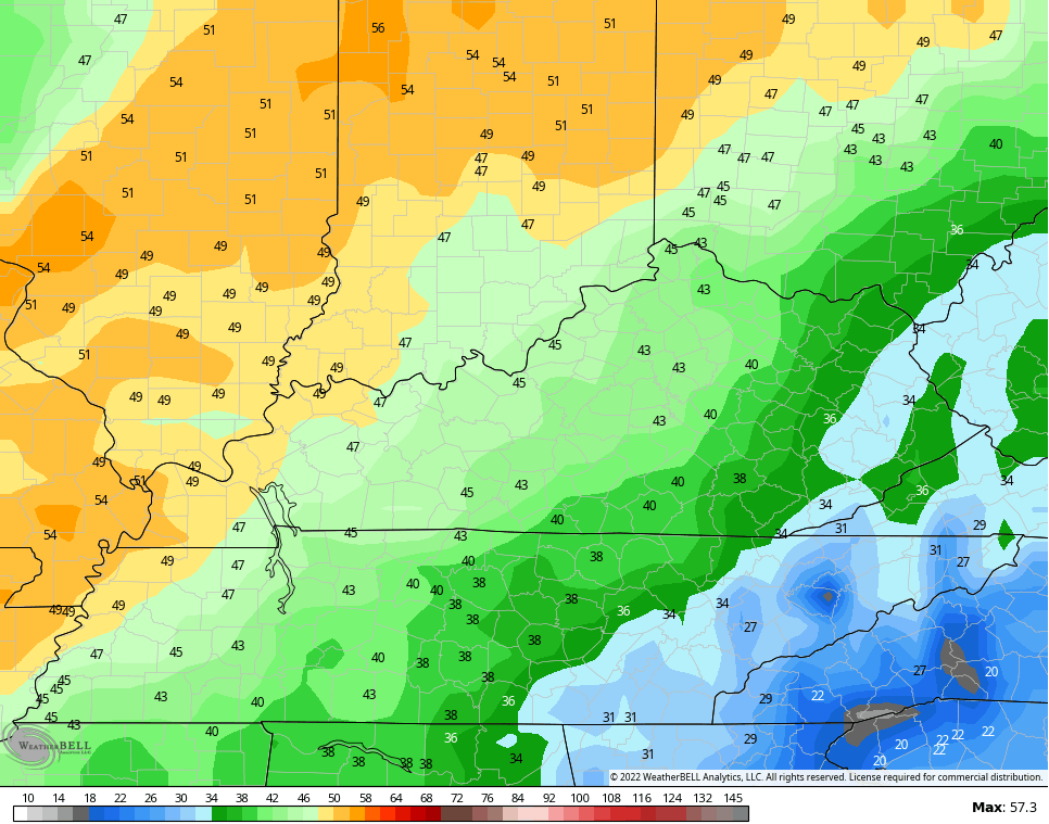
Temps for Thursday and Friday take off with 70s likely for much of the region. Winds will be rather gusty from the southwest, but nothing like that southwest wind coming our way on Saturday. This will be ahead of our cold front and those gusts may approach 50mph at times. Take a look at the numbers coming from the models…
Showers and storms from this system roll from west to east across the state Saturday and Saturday night. This line will lose steam the farther east it gets and there’s another shower and storm risk behind it early next week…

The setup for next week continues to feature a system developing down in the Caribbean/Bahamas area. I don’t know if this can become truly tropic or some kind of hybrid, but it really doesn’t matter as the impact is the same. I’ve talked and talked and talked about how this is backing up the overall pattern.
We have to clear that system out to allow colder air to take control and the models are doing just that next week. Watch how they take this system up the east coast or just off the coast as a trough dives into the east…
CANADIAN

The GFS is finally catching on…

This change toward a colder and, perhaps, wintry look is also being displayed on the European Weeklies. You can see a trough showing up across the eastern US in this 30 day period from November 16-December 16…

The ridging goes back to the west and extends into Alaska. You will also notice ridging around Greenland. Those two working in tandem would allow for some cold shots to really flex across our region.
The control run of the EURO Weeklies for the same 30 day period is even more emphatic with this setup…

This fits nicely with my analog years, so it’s certainly something I enjoy seeing. 😏🥶
I will have another update later today, so check back. Have a wonderful Wednesday and take care.

So the winters of 76/77 and 77/78…. In the comments on this blog these winters were talked about a lot over the years… obviously because they were some of the worst ever….but I distinctly remember someone on here saying how one of those winters didn’t start until New Year’s Eve….that basically anything before that was winterless pretty much….and as soon as the calendar flipped the rest of the winter was absolutely horrible….I remember them saying Nov/Dec wasn’t that cold at all really. Not that those winters have anything to do with this upcoming winter…but I wouldn’t be surprised at all to have a crazy winter just because of the whole crazy times we’re living in…
Mark, one can’t compare the rest this Fall and coming Winter to what happened in 1976-77. At that time we were in a weak El Nino and not a moderate La Nina like we are now. And La Nina is expected to last well into March maybe ?
If memory serves we had a cold wave ( -10 degrees ) and 4 inches of snow on the ground New Years Day 1977. Prior to that it was mostly mild, but we weren’t in a drought like we are now.
I’m more concerned about severe weather than Winter weather. Remember last December we had Tornadoes in Western Kentucky and Central Kentucky.
No one on the blog has experience a Fall and Winter like 1917-18. The most severe Winter ever to affect a large part of the US. What confuses me it was a La Nina Winter. This year’s La Nina Winter is forecast by NOAA to be ” wet and mild ” here in the Ohio Valley. It very well could change according to NOAA ? No clear forecast for the upcoming Winter has been issued. All guess work at this time.