Good evening, folks. We are putting the wraps on another awesome early November weather day in Kentucky. After a few more of these, big changes come in by the end of the week as our weather map takes a walk on the wild side.
Locally, temps are more seasonable for Election Day with sunshine continuing. Those numbers climb toward the 70 degree mark Wednesday and Thursday as we keep that good looking sky.
The wild weather map I’m talking about features a likely hurricane hitting Florida while a near blizzard hits the Dakotas…

From a meteorological perspective, that’s pretty awesome to see and is an indication of a very dynamic pattern.
Tropical Storm Nicole is spinning toward the Bahamas and is embedded within an overall large cloud shield…

This should become Hurricane Nicole by Wednesday and a Hurricane Watch is already out for the Bahamas and Parts of Florida. Her’s the latest track forecast from the National Hurricane Center…

This system heads across Florida and may even emerge briefly in the eastern Gulf of Mexico. That turns northeast as that wintertime trough works through here with frigid air to follow. Can we get some rain out of this? The EURO continues to be aggressive for central and eastern Kentucky…

The Canadian is similar…

The GFS bias of being too far east has been in full play, but it’s correcting west…

The cold crashing in behind this is impressive. Look at the drop from 1pm Friday to 7am Saturday…

This first shot of frigid temps will be followed up by another arriving on the scene the following week…
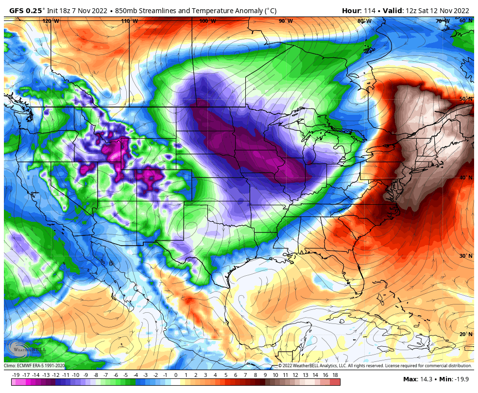
As I’ve mentioned for a while now, the coldest air in the northern hemisphere has been on our side of the North Pole since late summer. This is a trend that is likely to take us into December and can lead to some really cold blasts.
Snow chances should be in there too!
Have a great rest of the day and take care.
