Good Wednesday, folks. It’s another cold day across Kentucky as we track snow showers and flurries for some. This action is on the leading edge of even colder air on tap for the end of the week into the weekend. Beyond that, changes show up for Thanksgiving week.
A few flurries and snow showers look to show up out there today and there’s the chance for a snow squall or two. This doesn’t look terribly widespread, but some pockets of snows look to streak from west to east. Could we find some hit and run light accumulations? Maybe.
Here are your radars to follow the flakes…

Cold winds continue to kick in today and into Thursday with highs generally staying below 40 for many. Another push of colder air arrives on Friday and may spit out a few flakes, especially in the north.
The cold is the main story, though. Lows this weekend are deep into the teens with highs struggling in the 30-35 degree range for some. Winds are going to make it feel much, much colder. Take a look at the morning wind chills numbers from the GFS over the next 4 mornings…
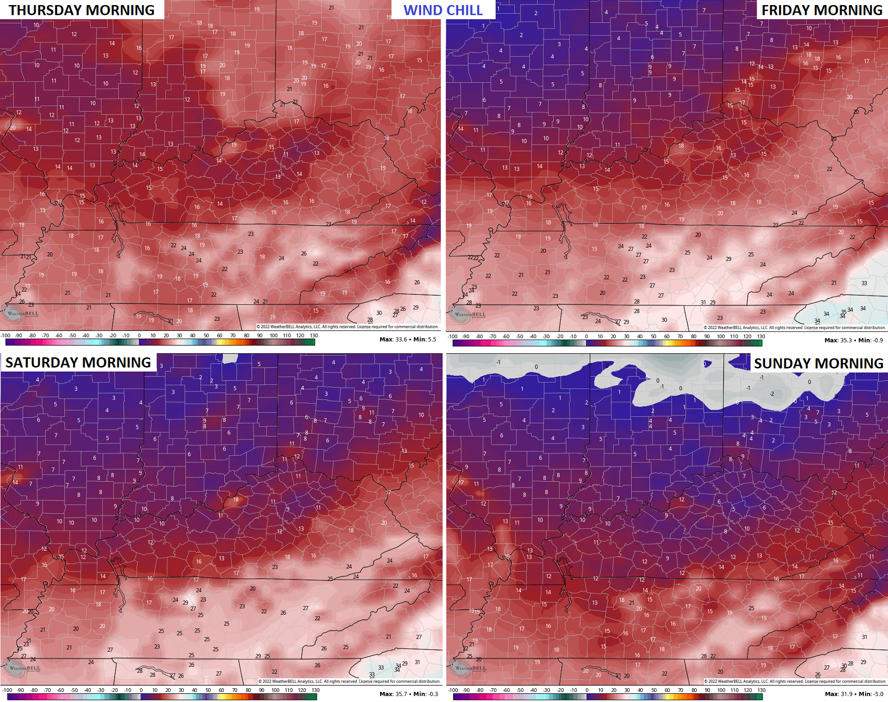
That’s ummm… Frigid.
The setup for Thanksgiving week is going to give the operational models fits over the next few days. That’s to be expected when we have conflicting signals showing up. I do expect a healthy storm system to impact our weather around Thanksgiving or Black Friday… Likely with rain. Colder air would likely filter in behind that and give us a flake chance before the holiday weekend finishes.
With the op models showing wild swings from run to run, we rely more on the ensembles to lead the way. Watch how some weak ridging is replaced by a trough a few days later…
GFS ENSEMBLES

CANADIAN ENSEMBLES

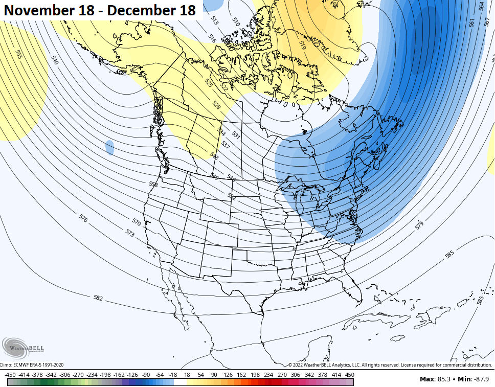
Looking way down the road on the Extended GFS, we can see how the model does keep a trough showing up on average across the east. Here’s the 30 day average through the middle of December…
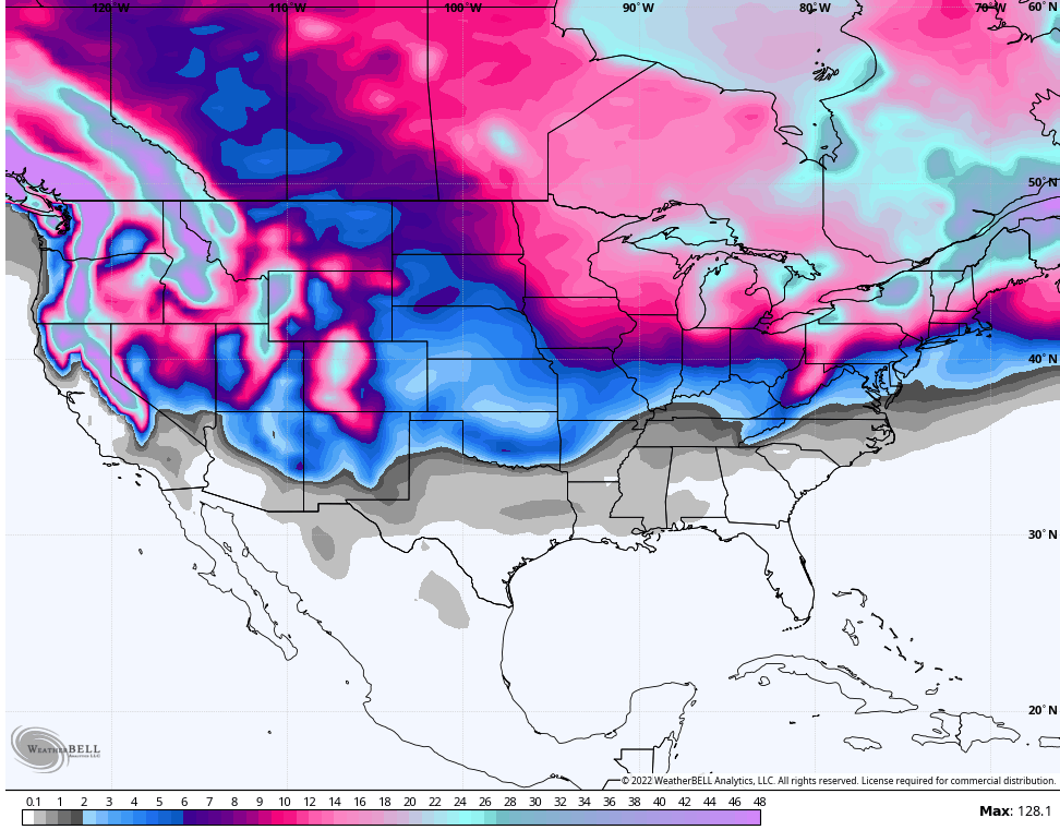
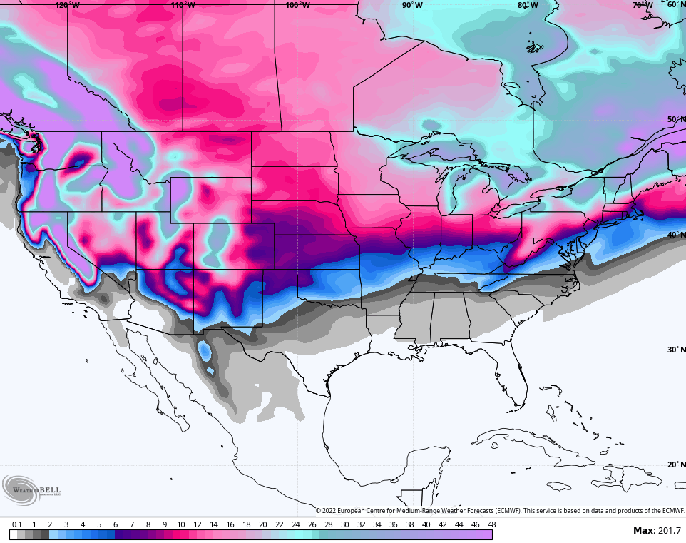
The model is seeing snow chances during that time…
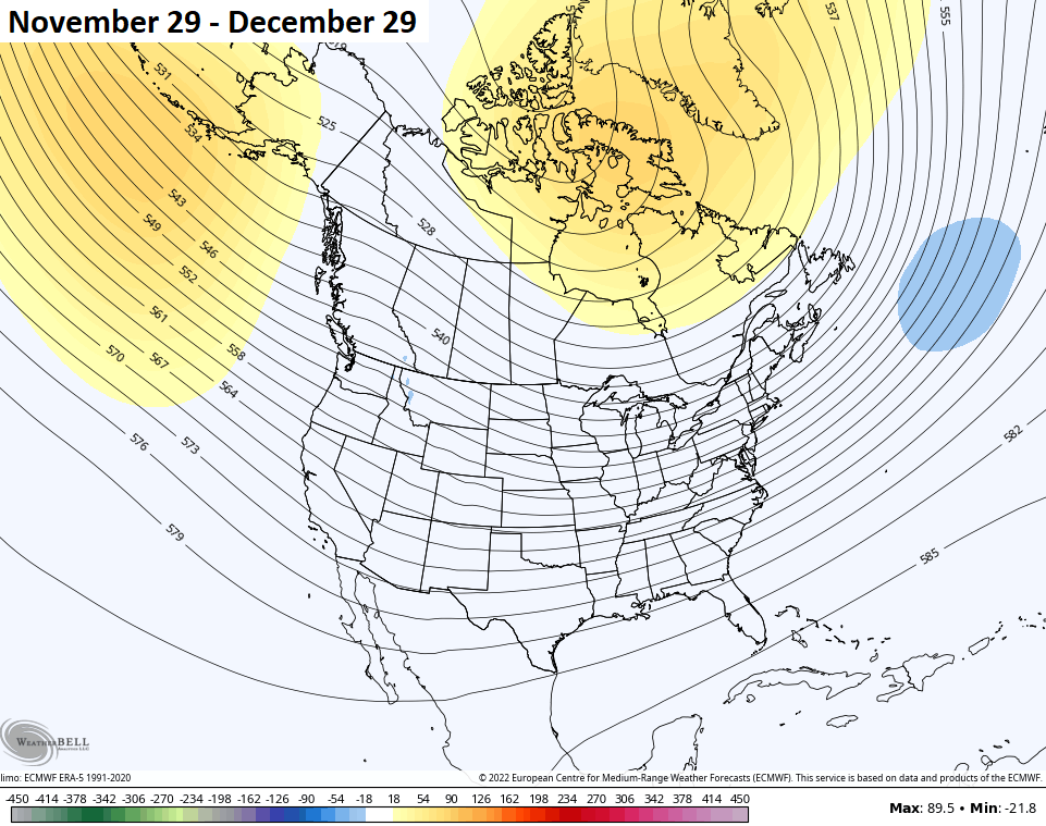
The EURO Weeklies go deeper into December, so here’s a 30 day average showing lower heights across much of the country with some blocking over the top…
And the snow chances during the same time period…
I will have updates later today, so check back. Have a great day and take care.

Thanks Chris, Your Blog this morning made me Shiver because of the much colder Arctic air coming into the region for this weekend. Moderation in temperatures Thanksgiving week will be most welcome. Hopefully, we will receive more beneficial rains with the warmer temperatures ?
Accumulating Snowfalls ( according to the maps presented this Morning, ) covering the next several days doesn’t look too impressive for my area of the state, but very impressive from Indianapolis, Indiana on North.