Good evening, folks. We are just about to kick off that super duper long Thanksgiving holiday weekend and we are doing so with nice weather. That won’t last very long as two different systems get set to blow into the Bluegrass State.
The first system is looking a little stronger for late Thanksgiving into Black Friday on one of the models. The GFS is spitting out the heaviest totals of the bunch…

Other models are much lower, but that’s something tow watch for.
Windy and wet weather will sweep in from the southwest on Saturday as a potent storm system moves in. Here’s the EURO with this photogenic storm system…

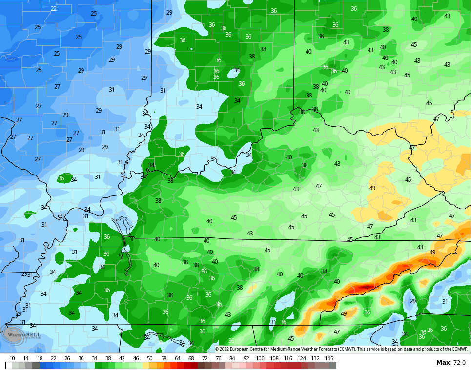
Winds from that will crank Saturday into Sunday morning. The EURO is spitting out 40mph+ gusts across the area…
Once that moves away, we calm it down into early next week as temps stay around the normal side of things. I’m still watching the setup for the final day of November into day one of December. That’s when a big storm looks to develop in the plains and head toward the Great Lakes. That may bring a line of strong thunderstorms through here…

Colder air comes in behind that, but that probably won’t hold. Signs continue to be there for blocking to show up as we roll deeper into December and that’s showing up on the EURO Ensembles…

That’s a setup that not only turns colder, but can feature some stout systems rolling across the country with rain and snow.
PTA comes your way tonight!!
Enjoy the evening and take care.
