Good afternoon, folks. Our weather continues to be absolutely gorgeous for holiday travelers across Kentucky and surrounding states. This nice weather is about to give way to two rounds of rain as we get deeper into that holiday weekend.
I don’t have a lot of time, so let’s hit the high points of the forecast.
Much of Thanksgiving Day is dry with pleasant temps. Clouds will thicken and showers should move into the west during the afternoon and early evening. That spreads eastward Thursday night into early on Black Friday.
This won’t be washout type stuff at all, but scattered showers will be noted for some Christmas shoppers.
The GFS has done an about face and went from showing 1″ rains to showing barely anything Thursday night and Friday…
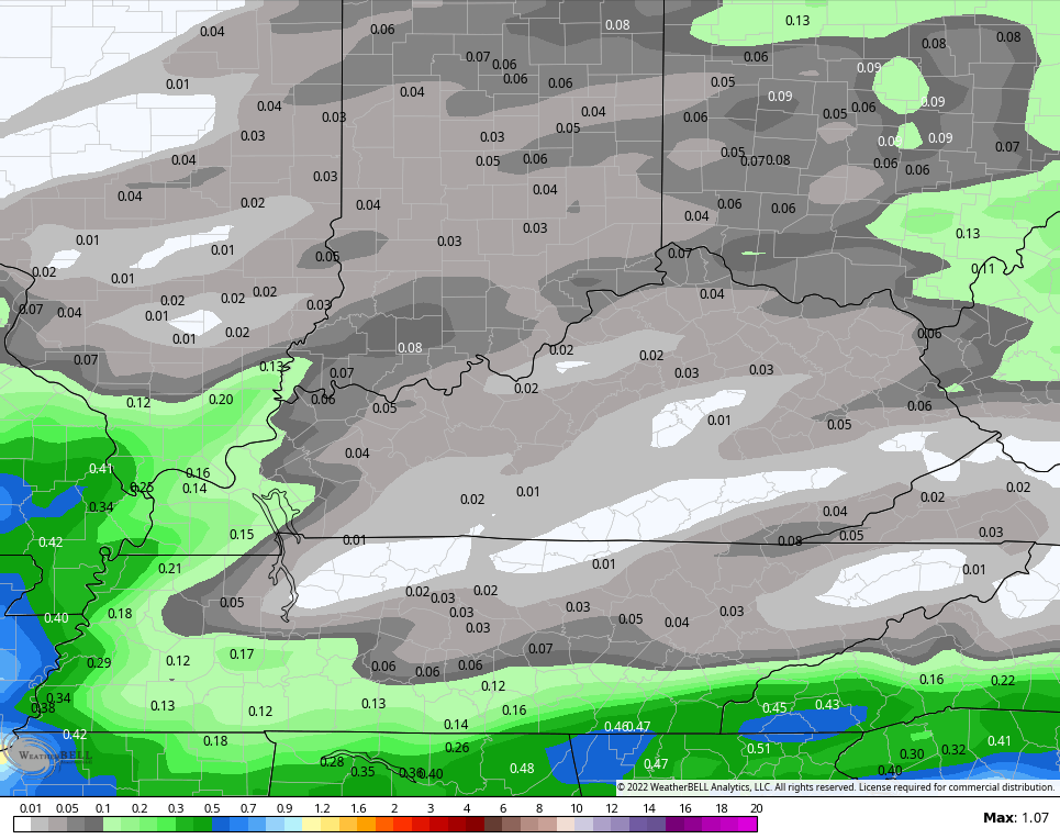
Even on a week where the GFS gets one thing right, it continues to stink with everything else. It should come with a built in warning label.
The Nam fam has been more consistent with rainfall totals…
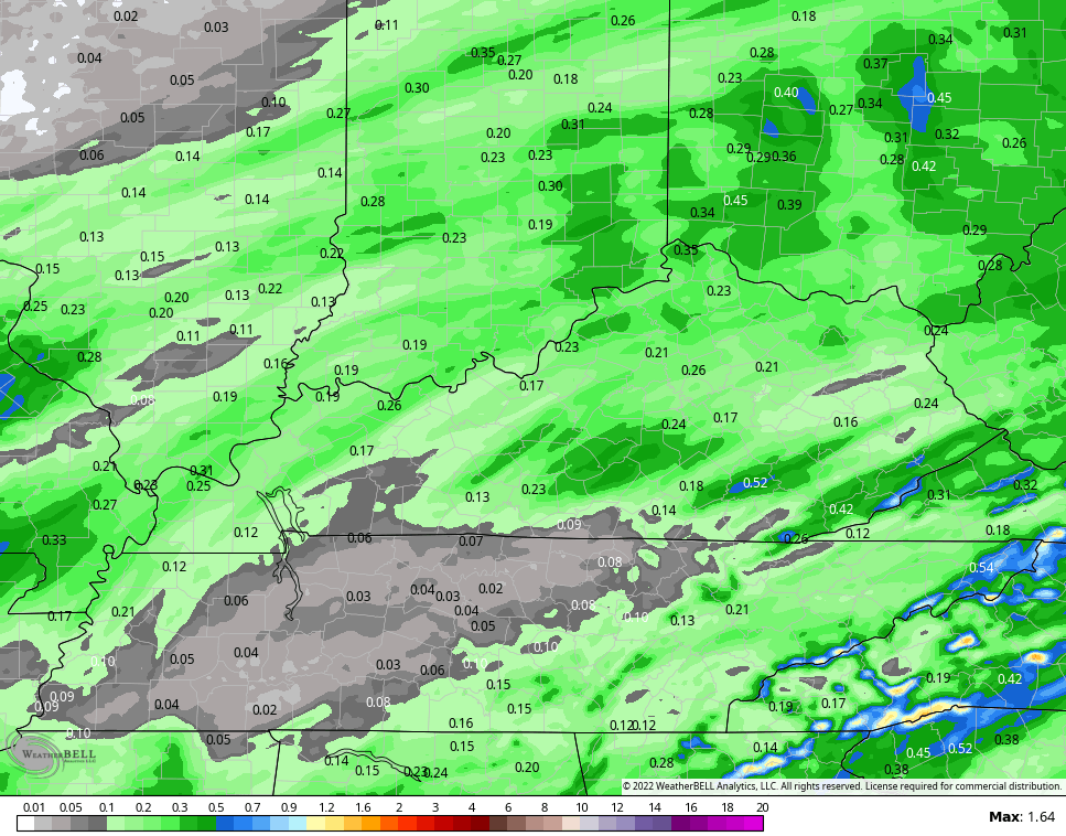
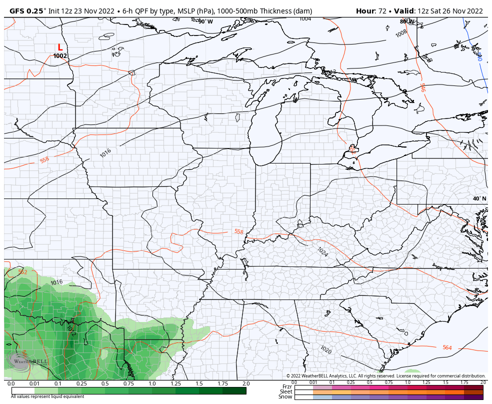
The main system coming behind this looks slower and that may give us more dry time on Saturday than I was originally thinking. The bulk of the rain may not arrive until late Saturday afternoon and evening as our potent storm sweeps in from the southwest. Gusty winds may top 40mph at times into Sunday. The models are also going for a colder look behind this for Sunday and Monday…
GFS
The Canadian…

The colder the air is behind that system, the better the chance it has to impact the next big storm coming behind it. I’ve talked about cold air pressing more and more and how the models may be slow to pick up on it.
We are beginning to see the models picking up on this colder look behind each passing system.
Here’s the GFS for the middle of next week…
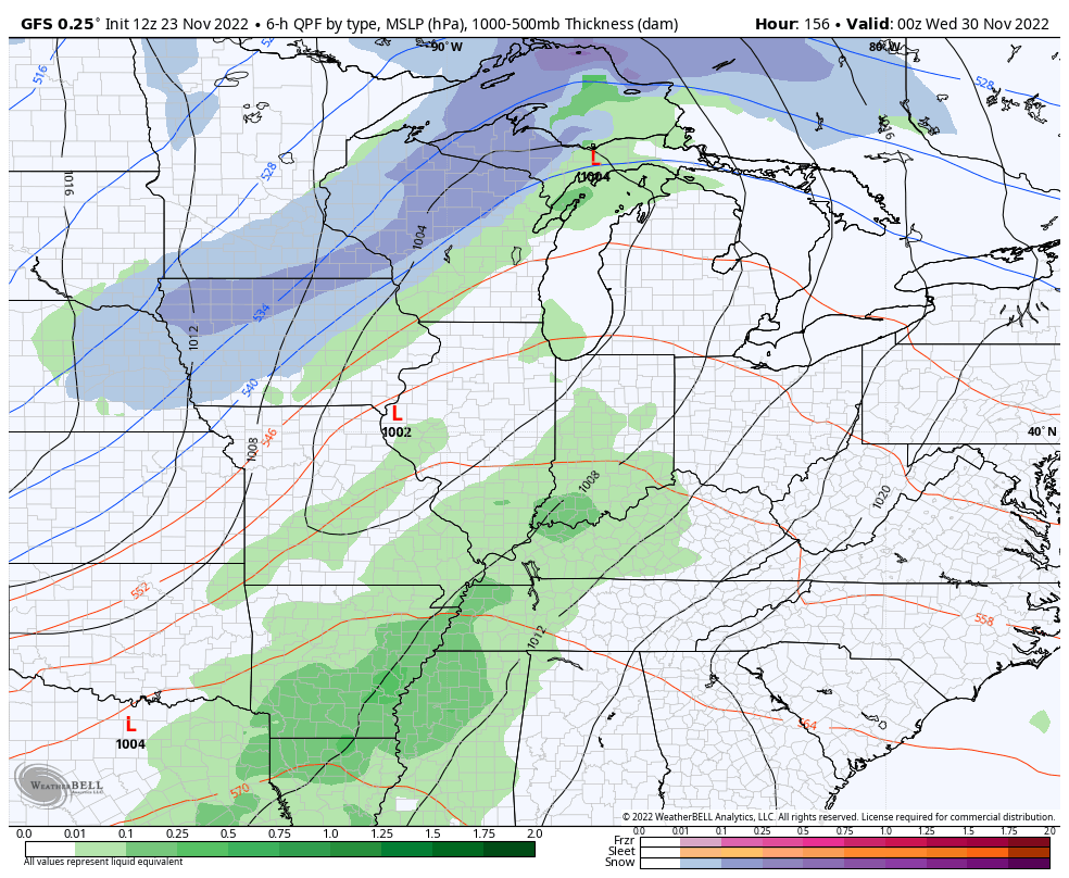
I suspect this colder trend will continue to win the day on the models as the blocking showing up is awfully impressive.
I’ll update later today. Have a good one and take care.
