Good evening, gang. Clouds are filtering in across the region ahead of our shots of rain on the way for the long Thanksgiving holiday weekend. The timing of the main system continues to get pushed back some and that bodes well for your Saturday.
The first surge of showers arrives from west to east from Thanksgiving afternoon into Thanksgiving night. Check out the future radar from the HRRR as we go from Thursday afternoon through Friday morning…

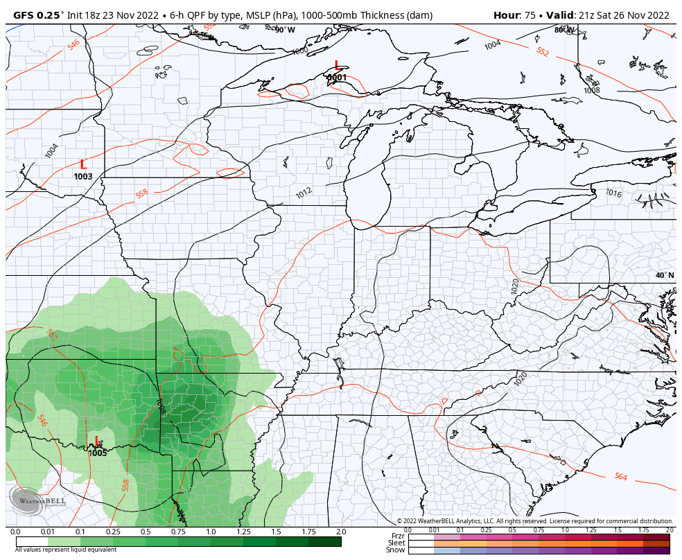
The cold front responsible for that rain does push through pretty quickly on Friday with some better weather by the afternoon. That front going a bit farther south slows the arrival time of the big system for the weekend.
This now looks to mainly impact us with rain and wind Saturday night and Sunday with chilly showers lingering into Monday…
Gusty winds are still expected to be a big player. Those gusts may hit 40-45mph for many, but the GFS is spitting out some 50mph gusts…

That EURO is similar, but a tad lower…

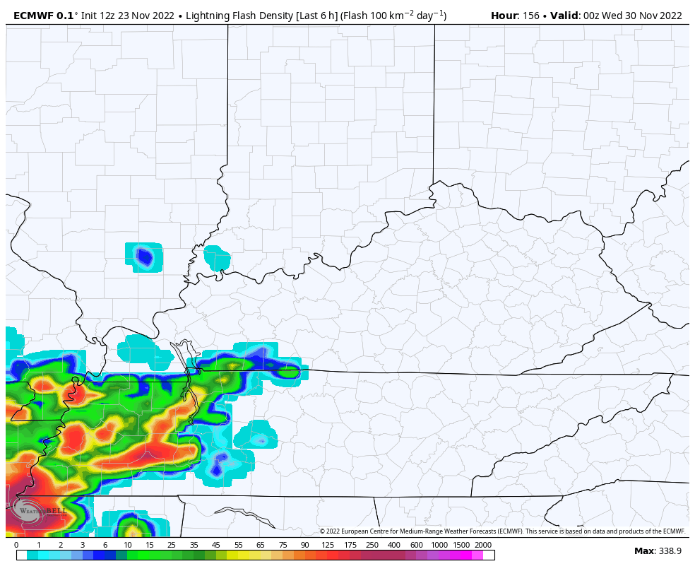
The next system continues to look stout as it arrives on the final day of the month on Wednesday. The setup continues to suggest the chance for strong storms before a change to cold on day one of December.
Here’s the EURO…

Check out the lightning forecast from that run of the EURO…
The GFS is sensing the cold air with that setup and sending the low a bit farther south…

It’s a busy pattern ahead. Enjoy the evening and take care.
