Good afternoon, everyone. Here’s hoping this post finds each of you enjoying a wonderful and blessed Thanksgiving. In terms of the weather, we continue to track some rain in from the west. This is the opening act to the bigger system arriving later this weekend.
As you guys know, your friendly weatherdude doesn’t stop tracking weather just because it’s a holiday. I’ll actually be on WKYT starting at 4 today and, of course, here with updates on KWC. Rocky Balboa said it best…
Fun fact, Rocky and Adrian went on their first date today in 1975. Yo Adrian! 👊
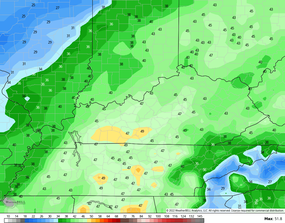
Showers are working across western Kentucky this afternoon and will overspread the region this evening and tonight. Scattered showers will be common overnight into the first part of our Black Friday as chillier winds blow in. Some clearing is possible by afternoon and evening.
The next storm system arrives from the southwest Saturday night and Sunday with widespread rain and wind. Colder winds blow behind this later Sunday into Monday with lingering showers possible.
This animation goes from 7pm Saturday through 10am Monday…

Wind gusts of 40mph or greater should be common Saturday night into Sunday…
Local gusts to 50mph will be possible.
The next system will roll in here by Tuesday night and Wednesday as we get set to close out November on a fairly wild note. Gusty winds and the chance for a few strong storms will be quickly replaced by crashing temps and the chance for some flakes. This animation starts at 1pm Tuesday and goes through Thursday morning…

Watch the temp crash on the feels like animation from 10am Wednesday through 10pm Wednesday…

Whoa!
This likely sets the stage for a colder and very active pattern as we roll into December.
Another update comes your way later today. Until then, I leave you with your radars to track the rain in from the west…

Enjoy the rest of your Thanksgiving and take care.

1st