Good evening, folks. We’re rolling into the weekend with a big storm system rolling toward the region. This will bring high winds and rain in here and kicks off a very active pattern in our region and across much of the country.
Overall, I have no changes to the forecast. Rain and wind increase Saturday night and that takes us into Sunday. The future radar from the Hi Res NAM shows the spiraling bands of rain and a few thunderstorms. This animation goes from 7pm Saturday through 7pm Sunday…

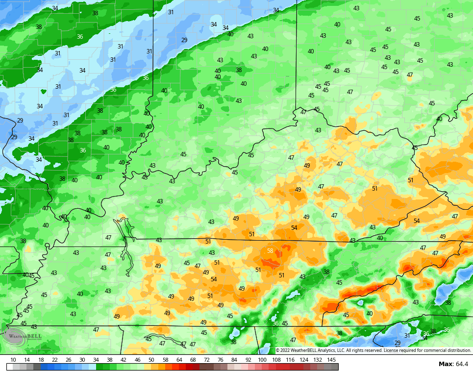
Wind gusts of 40-50mph will be possible across central and eastern Kentucky…
Temps turn chilly late Sunday into Monday as lingering showers pull away.
The arrival time of the next system is speeding up as the models are seeing more and more cold air behind it. That’s the pressing cold air I’ve been talking about for a while now.
The new EURO is the fastest of the bunch with showers and some storms in here Tuesday through early Wednesday…

Gusty winds will also be a major issue.
Check out the dramatic temp drop showing up with the feels like numbers from the EURO. This goes from 7am Wednesday through 7am Thursday…

The system coming behind that late next week into the following weekend may do the same and press farther south. That could potentially set us up with an overrunning type event.
The signal from the Ensembles is for cold to slowly overwhelm the pattern as we head into the second week of December. The Canadian Ensembles have been leading the charge with this and continue to do so…

Enjoy your evening and take care.
